Abes and Essens Lake Trail Hike
This is a guest post by my friend James Ross about his overnight experience on the Abes and Essens Lake trail.
I awake with a start. Somewhere quite close, an eerie wail has pierced the quiet of the still, dark night. I sit up in our small tent, shake away the cobwebs, and listen intently, trying to place the offensive noise. There it is again, nearby, in the marshlands just to the south of our campsite, the throaty cry of some heinous creature of the night.
Now fully awake, I recognize the cry, not as the scream of the apparition of some lost and perished hiker, but as the high-pitched and out-of-tune bugle of a love-sick bull moose in the midst of the fall rut.
I chuckle to myself, and gaze over at my sleeping wife, as always undisturbed by the passionate calls for love. I slip out of the tent to answer my own call of nature, all the while hoping that Bullwinkle does not spy me in the dark and consider me a rival – or worse, mistake me for an attractive cow moose.
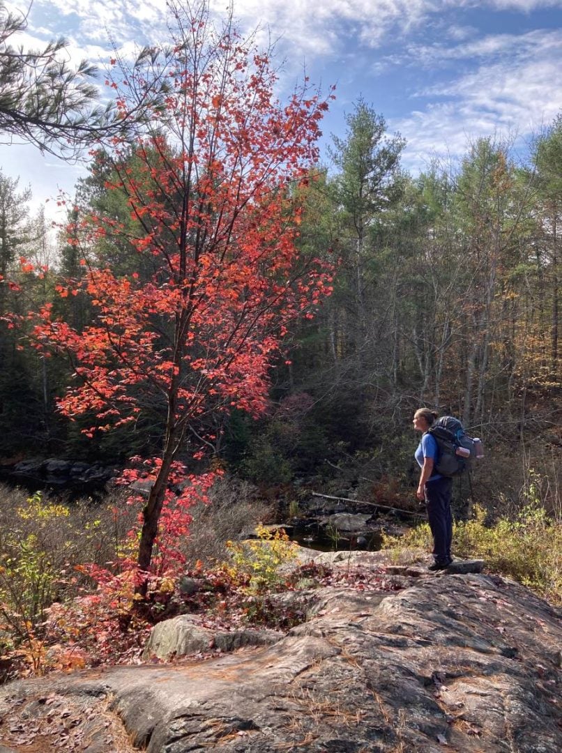
My wife and I had the desire for a quick autumn hike, through the splendour of Ontario’s vibrant fall colours. What we did not have was a lot of time. So, we settled on the easy two-day hike on the Abes and Essens Lake trail in Bon Echo Provincial Park. The beauty of this park is that it is central to many urban centres in Ontario – close, but at the same time, it feels a world apart when you are on its backcountry trails.
Bon Echo is only two and a half hours from our home in Muskoka, an equal distance from Toronto, two hours from Ottawa, and just an hour and a half north-east of the city of Kingston.
If you are a university student with a weekend free, or more mature like me, so to speak, you can get to Bon Echo on a Saturday morning, hike the 17-kilometre Abes and Essens Trail as a day trip or overnight adventure, and be back to work or to your classes by Monday morning, totally refreshed and feeling like you have enjoyed a true wilderness experience.
Backcountry camping is on for the Abes and Essens hike in 2025. Weekends are filling fast but there is still lots of room on weekdays as of late February 2025.
Would you like to save this?
Difficulty and options on the Abes and Essens Lake Trail hike
The Abes and Essens Lake trail is described as being “moderate to difficult” by the park, but I would put it down as perfect for intermediate hiking abilities.
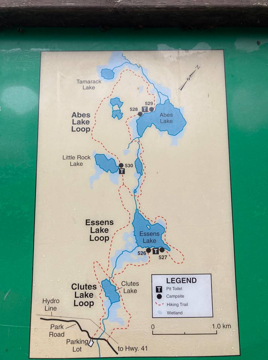
One of the great things about this trail is how versatile it is in terms of length; there are three loops that you can choose to take, all linked as a part of the largest loop (Abes Loop). Essentially, the smaller loops just cut across to the return portion of the biggest loop.
The smallest loop circles Clutes Lake, and is only 3.5 km long. The second, called Essens Loop, allows for a longer trek joining with the Clutes Lake loop for a total distance of 9.6 km. We completed the largest loop, the Abes Loop, with a distance of 17 km.
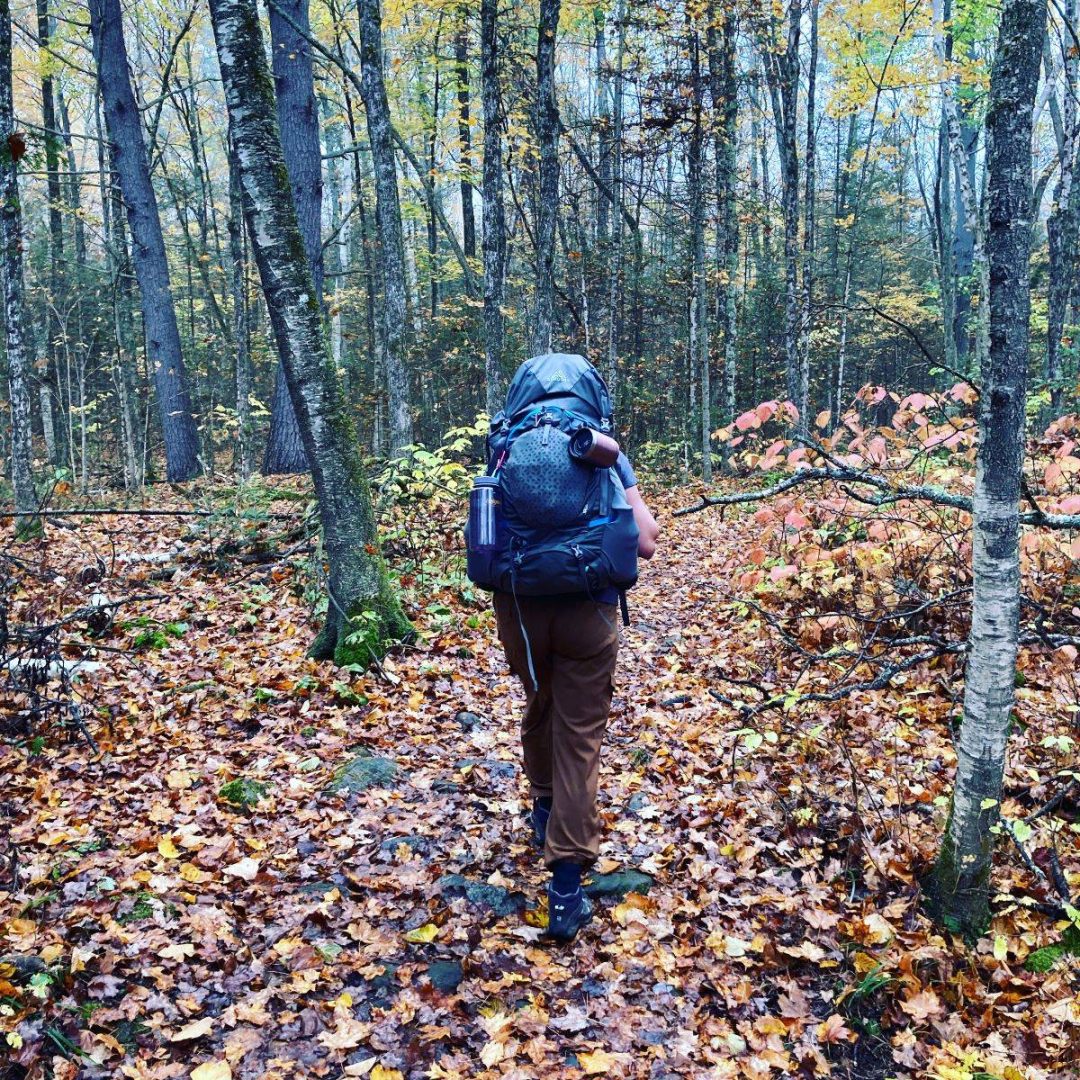
The day was crisp and cool when we hefted our packs on our backs and set off down the trail, and though it was mid-October, it warmed up to summertime temperatures by noon, somewhere in the mid 20’s Celsius.
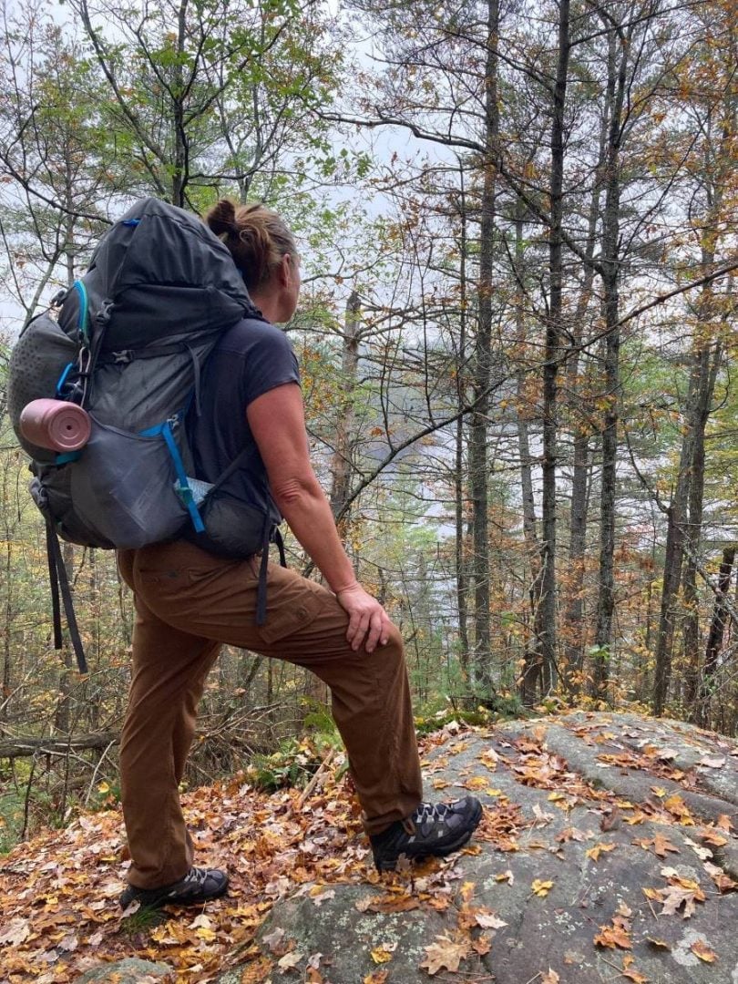
The trail was rocky, rocks hidden by the growing carpet of fallen autumn leaves, so we had to take care where we placed our feet. Hiking through a forest of such vibrant colour certainly made the extra caution worth it. After walking for 1.6-km we reached the split for the Clutes Loop. As in most Ontario Parks, the trail system is very-well marked and easy to follow.
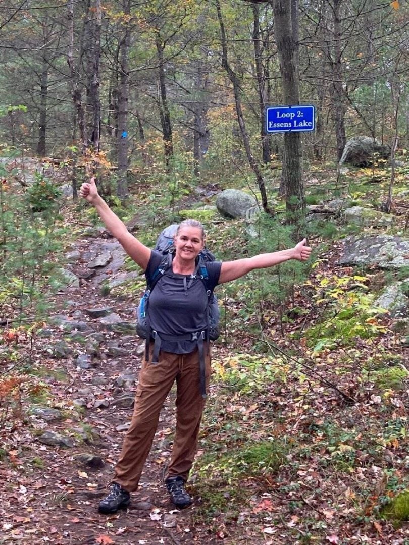
A sign to our left at the split sent us on our way towards the Essens Loop. Had we wanted to complete the shortest loop, we would have turned right at this point.
After the split we did some moderate climbing, more uphill than down, until we reached the second split after hiking for 3.6 kilometres. Again, it was so well marked that there was no way to miss it. We stuck to the left.
The terrain that we were travelling had already begun to vary, now a less arduous dirt trail covered in the colourful fall leaves – and hiking in the Canadian Shield, we spent a lot of time walking over sheer rock, and climbing over and walking past huge boulders.
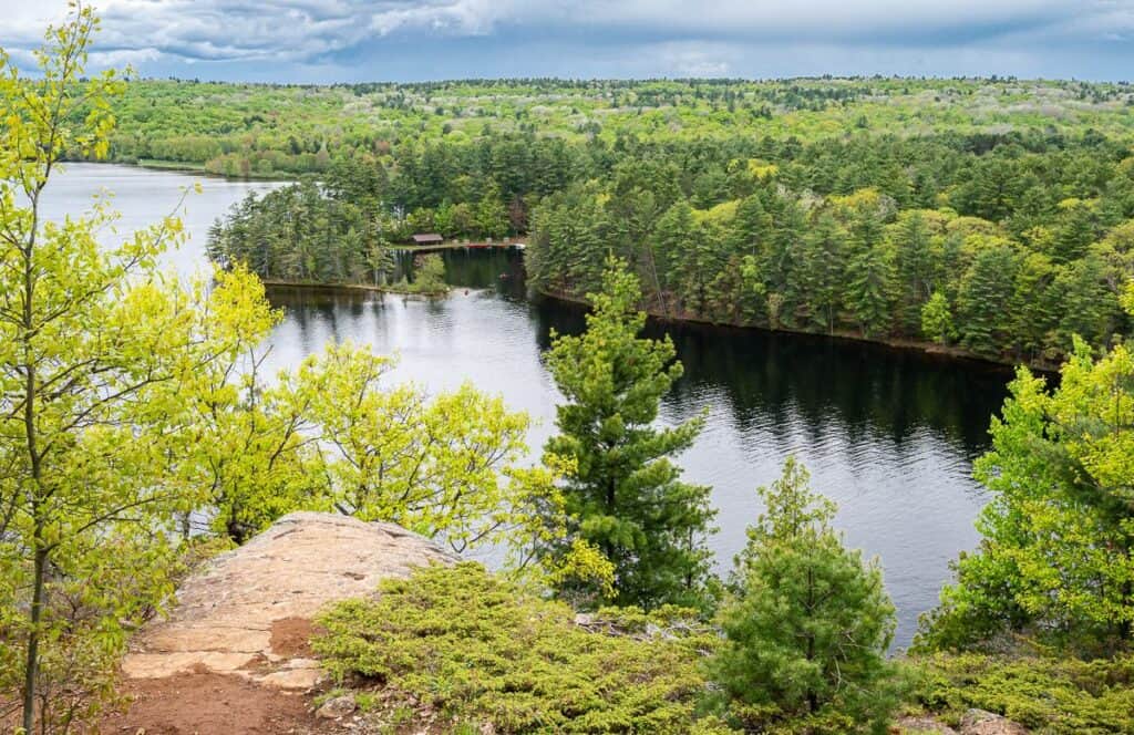
Not long after we hiked past the second split and officially got onto the Abes Loop, we came across the first of the 5 campsites along the trail. Campsite 530 is set high on a rocky knoll with a beautiful view over Little Rock Lake.
It also felt really secluded, even though we had only been hiking for less than 5 kilometres by the time we reached it. We dropped our packs and enjoyed a peaceful lunch.
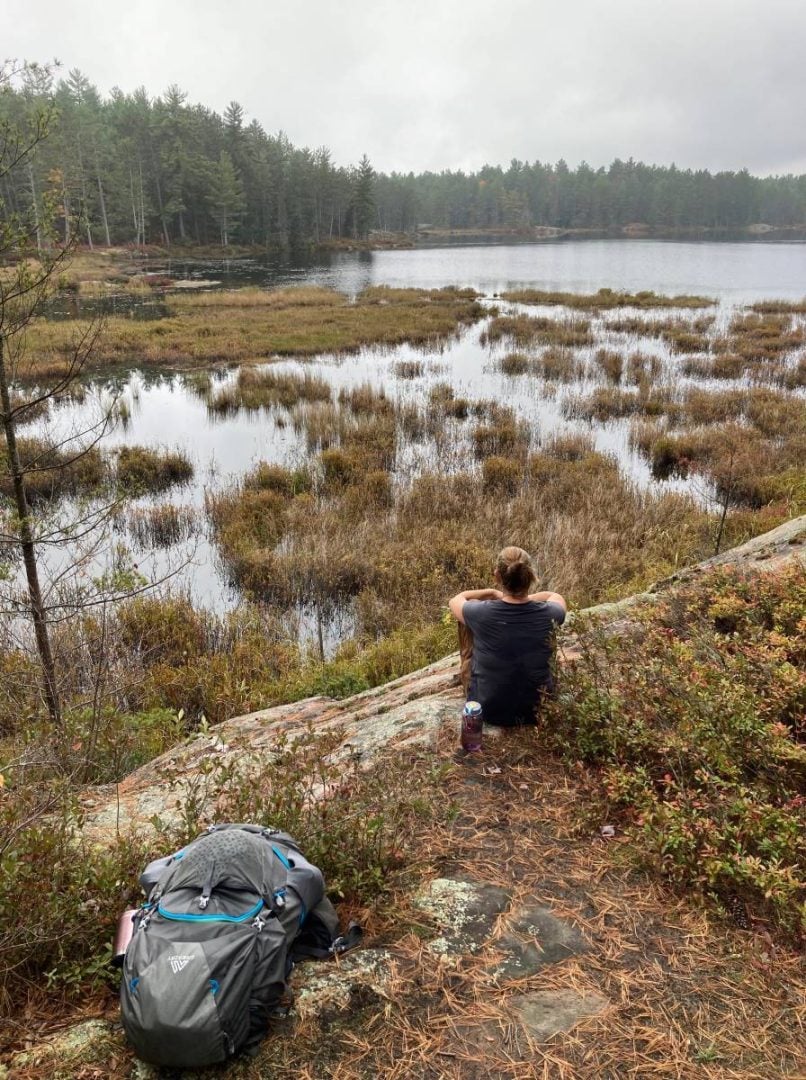
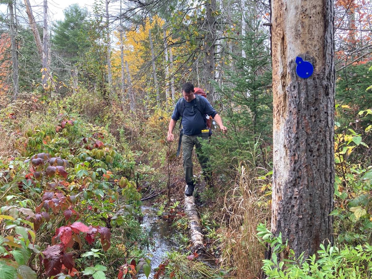
Setting off again after lunch, the trail started to head back uphill, and started to feel a little less travelled. It was still easy to follow, but there was definitely more growth crowding the trail’s edges. We traveled through more forest and a grassy field before traversing a wide swampy area. We tip-toed through the wetland, balancing along fallen logs and hopping across dry hillocks to keep our hiking boots dry.
Camping at Abes Lake
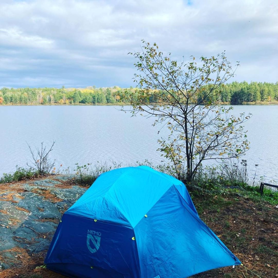
Soon after the trail clamoured out of the marshland onto dry ground again, we came across the next campsites. We had reached Site 529, our reserved campsite for the night, after hiking for nine kilometres.
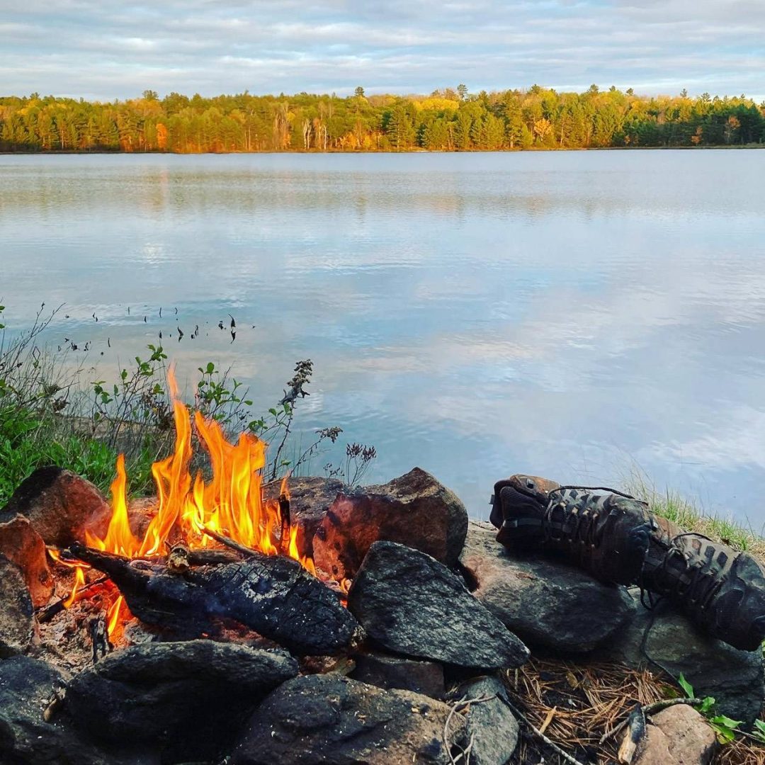
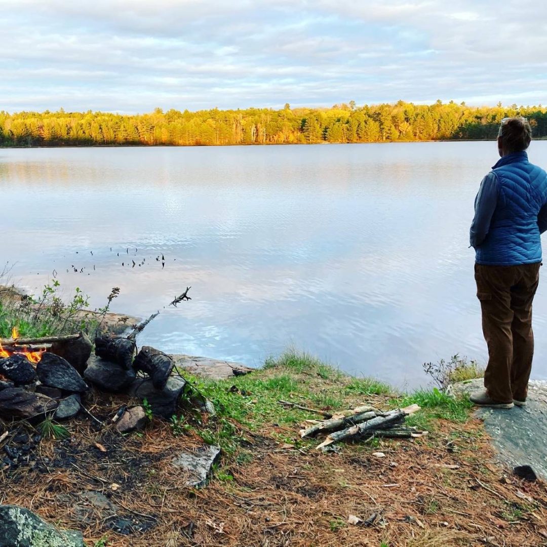
It was a lovely campsite with splendid views over Abes Lake, and lots of flat, grassy areas to pitch the tent. All the campsites on the Abes and Essens Lake trail have a fire pit and picnic table on the site, and a thunderbox nearby.
It also should be noted that all of the campsites we came across were situated quite close to the trail, so there’s always a chance that you will run into fellow hikers while camping.
So, with the thoughts of skinny dipping in Abes Lake now squashed, I instead returned in the direction we had come, to gather some of the plentiful dry branches I had spied alongside the marshy area for firewood.
So, with tent set up, a nice dinner cooked over the fire, and a canopy of stars overhead, we enjoyed a lovely evening. We crawled into our bed sleepy and satisfied from the day’s hike – which wasn’t long or arduous, but had brought us to a place where we were alone. Well, alone, except for my overly amorous ungulate!
The return hike on the Abes and Essens Lake trail via Essens and Clutes Loops
Morning brought us a mist over Abes Lake, and beavers hard at work. Fortified with some boiled coffee and a hearty breakfast, we were off again, past campsite 528 which was situated on a spit of land on the other side of the bay.
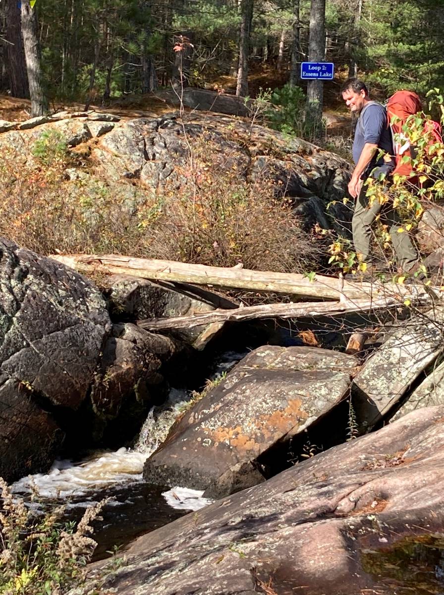
We reached the return split for the Essens Loop after hiking for 2.1 km. Here a turbulent creek bubbled through crag and boulders, a sturdy log was needed to cross the brook if we were doing the Essens Loop. Though the crossing was not necessary for our route, my wife insisted that I clamour out on the slippery log with my backpack for a photo – hoping for an action shot, I am sure!
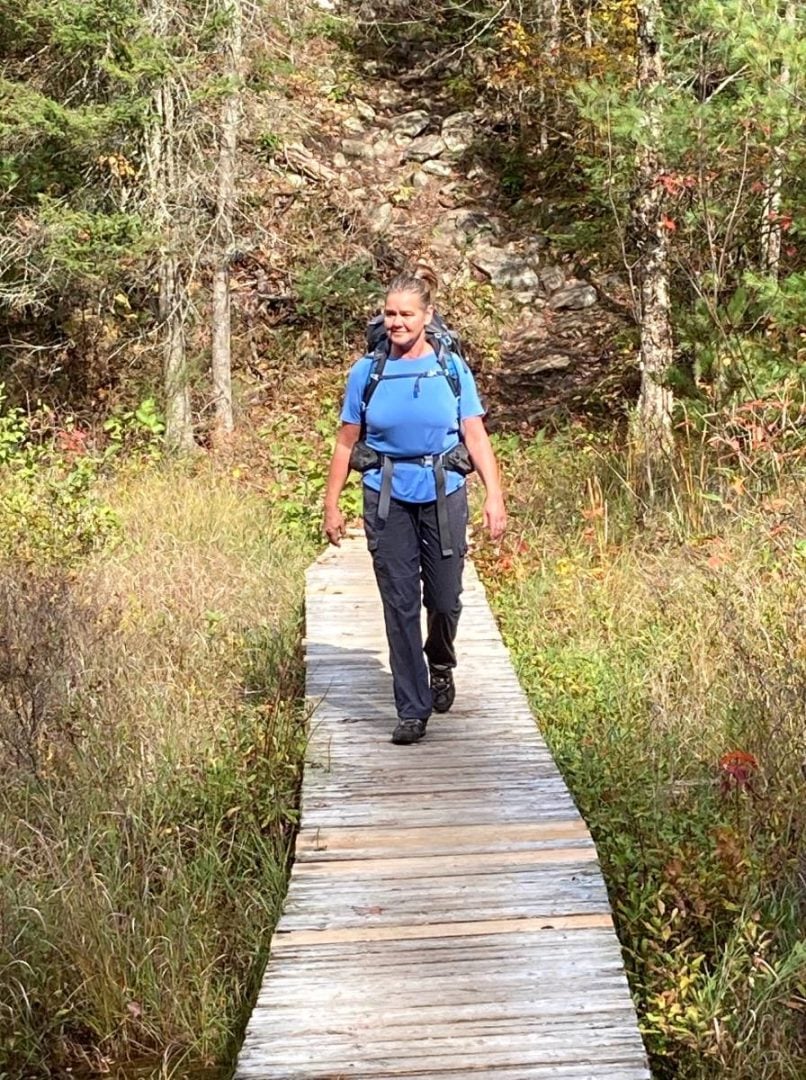
The return trip on the Essens and Clutes Loops was lovely, hugging the water on this part of the trail. Parts of the return loop were fairly wet, but there were sturdy boardwalks to ease our passage across the marshiest sections.
After 4.5 kilometres we reached campsites 527 and 526, private sites that were the final two offered. Both offered nice views over Essens Lake
We arrived at our last split of the day after 5.5 km. We kept to the left and carried on back to the trailhead and our truck.
Bon Echo Provincial Park describes the Abes and Essens Lake Trail as a “backcountry trail,” and it certainly gave us a comfortable and easy overnight hike, one that you could certainly accomplish in a day. But, if you have the time, make it two and enjoy the experience. We only saw two other couples on our journey, and had Abes Lake to ourself for the overnight.
If you go to Bon Echo Provincial Park
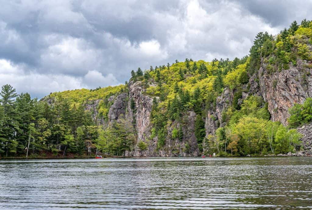
Bon Echo is open for use from mid-May until mid-October. Besides the Abes and Essens Lake backcountry hike, the park boasts several lakes, the most famous of which is Mazinaw Lake. Mazinaw Lake is the second deepest lake in Ontario and features the stunning, 100-metre high Mazinaw Rock, with over 260 Indigenous pictographs.
Fishing
Mazinaw Lake is a popular fishing lake for Lake Trout, Yellow Pickerel, Small and Large Mouth Bass, Lake Whitefish and Northern Pike.
More hiking in Bon Echo
If you prefer something a little shorter than the Abes and Essens Lake Trail – try the Bon Echo Creek Trail: 1 km (40 minutes), the Cliff Top Trail – 1.5 km (1 hour), where stairs and a pathway take hikers to the top of Mazinaw Rock to three observation decks overlooking the lake, High Pines Trail – 1.7 km (1 hour), or the Shield Trail – 4.8 km (2 hours).
Canoeing
Kishkebus Canoe Route – 21 km (6 hours) loop, moderate to difficult
This day paddle takes you past the Indigenous pictographs to the still waters of the nature reserve on the east side of the park. One portage is 1.5 km.
Joeperry and Pearson Lakes
Spend a relaxing day paddling in motorboat-free lakes, or reserve one of the 25 backcountry campsites. There is a 500m portage from the parking lot to the launch.
Mazinaw Lake
Launch your canoe or rent one at the Lagoon to paddle on Mazinaw Lake. Head over to Mazinaw Rock to view one of Canada’s largest visible collections of Indigenous pictographs.
Mississippi River Canoe Route – 104 km (5 days), 17 portages.

How to book a backcountry campsite for the Abes and Essens Lake trail
Book campsites five months in advance of your arrival. For more information and links to reserving a campsite visit the Ontario Parks website.
Further reading on hikes in Ontario
- Hike the Crack in Killarney Provincial Park
- The Hike to Agawa Falls in Northern Ontario
- The Top of the Giant Hike in Northwest Ontario
- Hiking in Awenda Provincial Park
- The Top 10 Hikes in Ontario
Click on the photo to bookmark to your Pinterest boards.

