Mont Albert Hike in the Chic Chocs
What an unexpected treat the Le Mont Albert hike in the Chic Choc Mountains of Quebec turned out to be. The Chic Chocs, a narrow mountain range that forms the northern extension of the Appalachians, are located inland on Quebec’s Gaspé Peninsula in Gaspé National Park.
There are 25 peaks in the Chic Choc Mountain range over 1,000 metres high, but only two were of interest to me – Le Mont-Jacques-Cartier and Le Mont Albert.
Le Mont-Jacques-Cartier has a certain appeal
Le Mont-Jacques-Cartier, the tallest mountain in southern Quebec, tops out at 1,268 m (4,160 feet). It’s home to the last remaining herd of woodland caribou south of the St. Lawrence River. Chances of caribou sightings are very high compared to hiking Mont Albert. Access though is strictly controlled.
The trail to the summit is only open from June 24th until September 30th and you can only hike between 10 AM and 4 PM.
Another off-putting factor is the fact you must take a shuttle to the trailhead, and that’s at least a 40-minute drive from the Visitor’s Center.
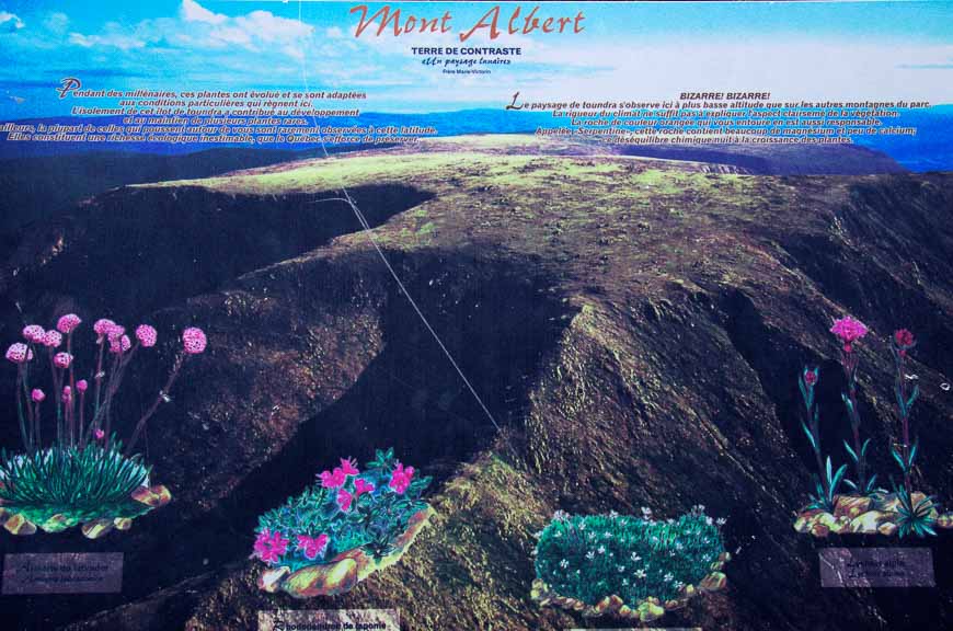
Mont Albert – an enormous flat-topped mountain with a super-sized summit plateau
Mont Albert shares the same opening dates as Le Mont-Jacques-Cartier but you can do the Mont Albert hike at any time of the day. It’s reportedly a harder hike but the trailhead is just a walk from the Visitor’s Center and it’s for this reason I elected to hike it. I’m told by a fellow hiker I won’t regret my decision.
And I don’t!
Would you like to save this?
This post includes some affiliate links. If you make a qualifying purchase through one of these links, I will receive a small percentage of the sale at no extra cost to you. Thank you very much for your support.
Options for the Mont Albert hike
There are two options depending on when you plan to do the Mont Albert hike.
The first option – in place from June 15 – October 14, 2024 – is an 11.4 km out and back hike to the summit of Mont Albert with 850 metres of elevation gain.
The second option, available from July 1 – September 30, 2024 is a 17.4 km loop hike with 850 m of elevation gain that can take anywhere from 6 – 8 hours.
Both hikes would be considered difficult. I think the second option is the more interesting one.
The hike to the summit of Le Mont Albert
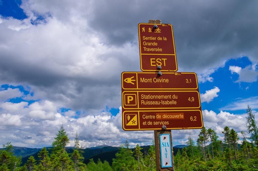
First I had to find the trail which I eventually do. All trail signs are in French.
In total the loop hike is 17 km (10.6 miles) long. It’s recommended that you allow 6 – 8 hours to do it.
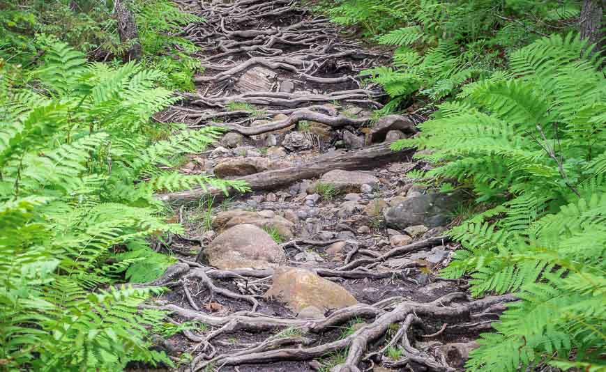
I chose to start the Mont Albert hike with the steepest part of the loop. After an hour of what feels like a non-stop stair stepper workout, I’m wondering what I’ve got myself into.
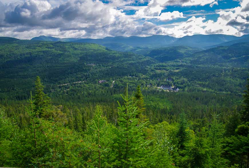
I like a rigorous work-out but I’m not a fan of hikes where you see nothing but trees. And except for a few peek-a-boo views that’s all it’s been so far.
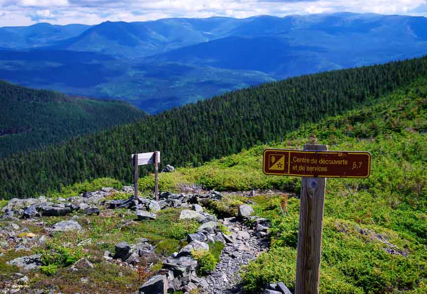
The summit of Mont Albert
After 5 km of hiking and 885 metres (2,904 feet) of elevation gain over two solid hours of hiking, I emerge from the trees. The transition is abrupt.
One minute there are trees, the next alpine tundra.
The summit of Mont Albert is a landscape of lichen-covered rock, hardy alpine flowers, stunted spruce trees and bog. But that’s not all.
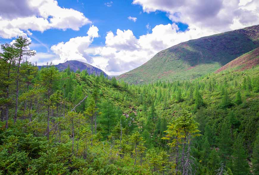
As you ascend the last few hundred meters of trail the vistas open and one of the biggest surprises of my hiking life unfolds.
I have never seen a summit like that of this one in the Chic Chocs. Massive barely begins to describe Mont Albert’s summit. Its 13 km across, over 20 square km in size and home to two summits – Albert North (1,070 m) and Albert South (1,151 m.)
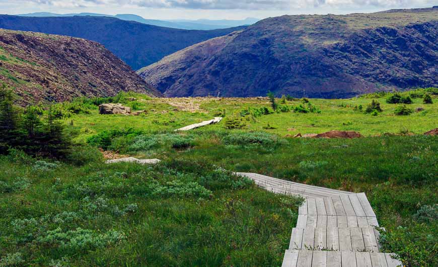
Most of the summit plateau is boggy –and next to impossible to hike if you’re a human, but perfect if you’re one of the woodland caribou that hang out here.
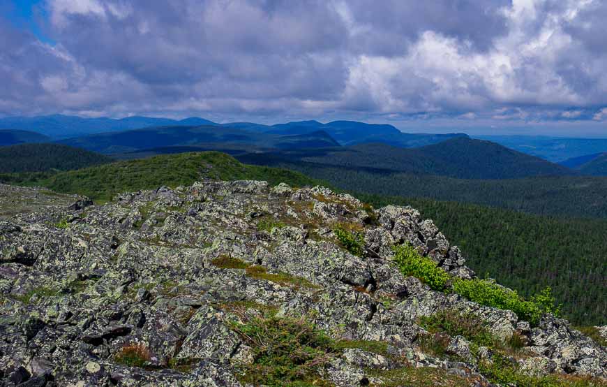
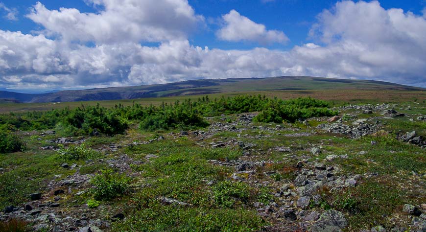
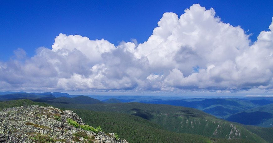
The north summit of Mont Albert
Mont Albert North is where I’ve arrived at and I’m quite happy to park myself on one of the wooden benches scattered around the summit.
I could sit for hours admiring the 360 degree views but threatening clouds to the north shorten my stay on top.
Just before beginning my descent I chat with some fellow hikers. They’ve hiked both this one and Le Mont-Jacques-Cartier and tell me I have chosen the prettier, less traveled peak.
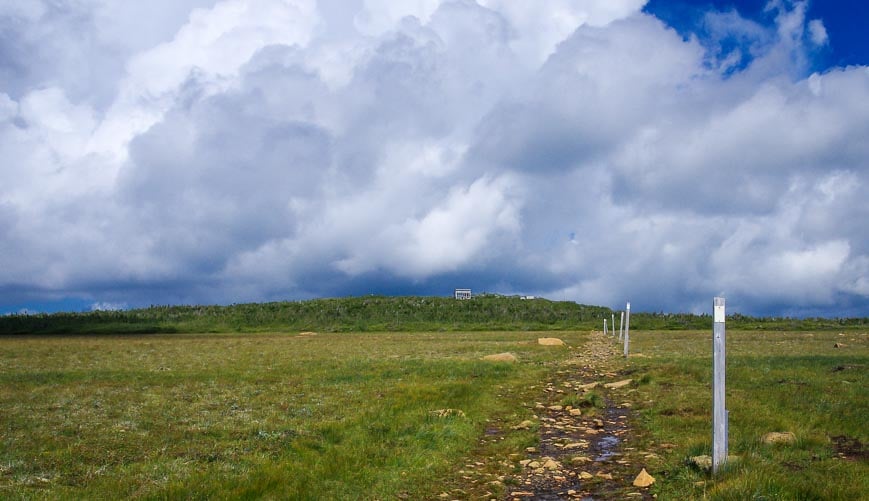
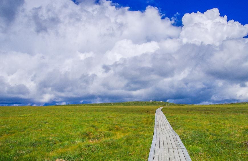
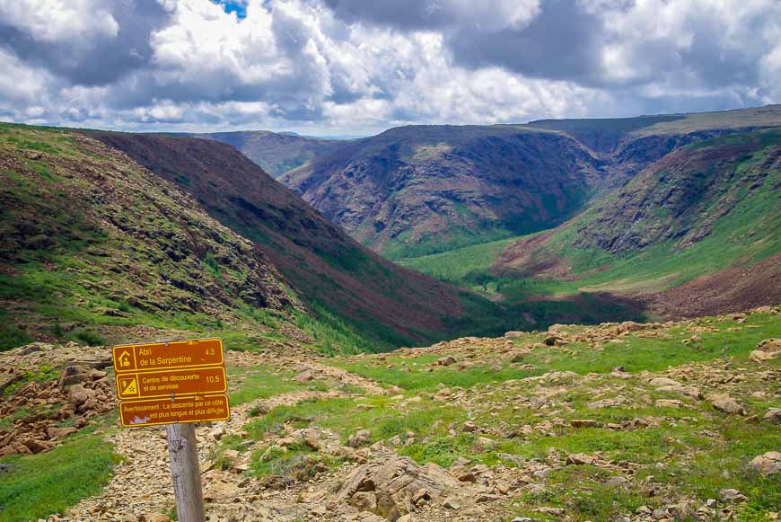
A series of boardwalks lead me across the boggy sections to the start of a section on the Mont Albert hike that is steep and rocky.
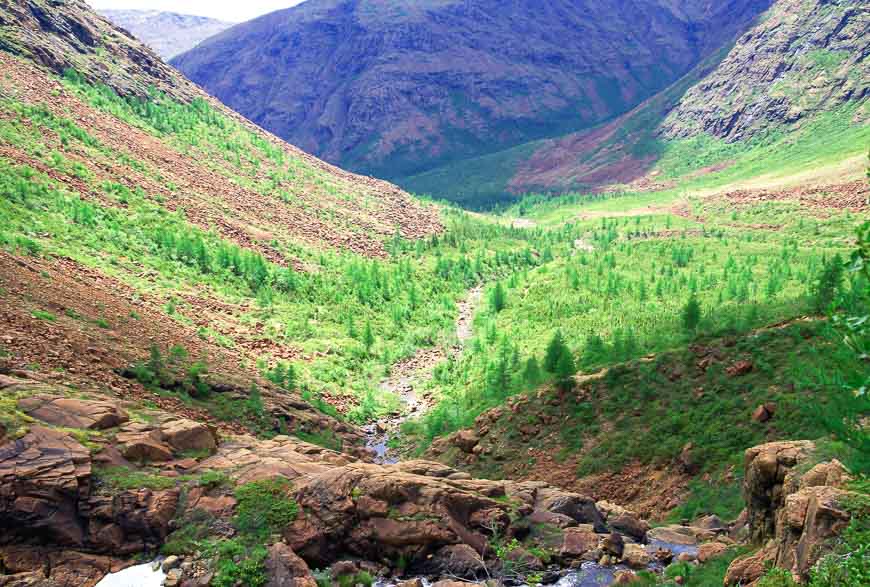
The trail winds its’ way all the way around the mountain and leads me back to the Visitor Center – with interesting views for three of the four hours it takes me to descend.
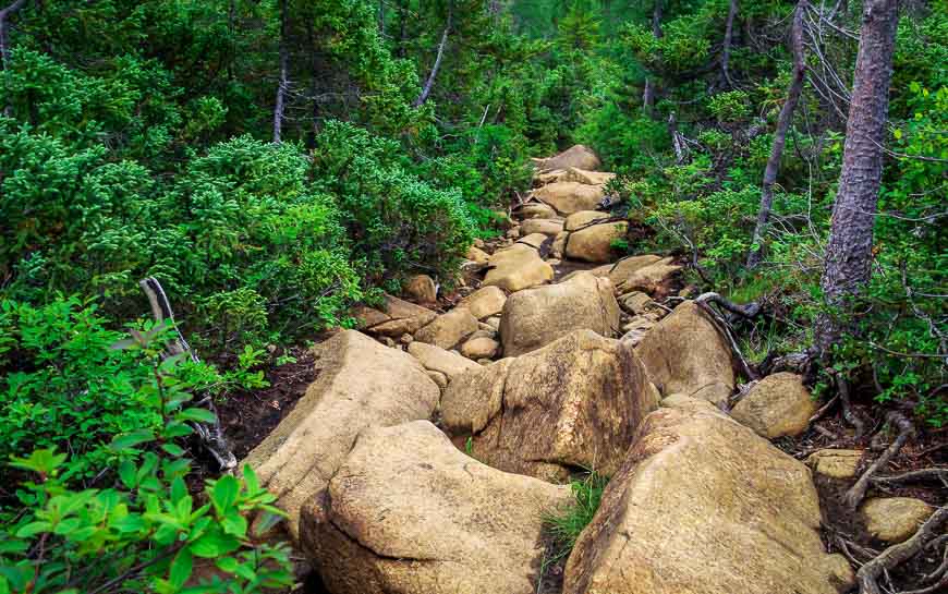
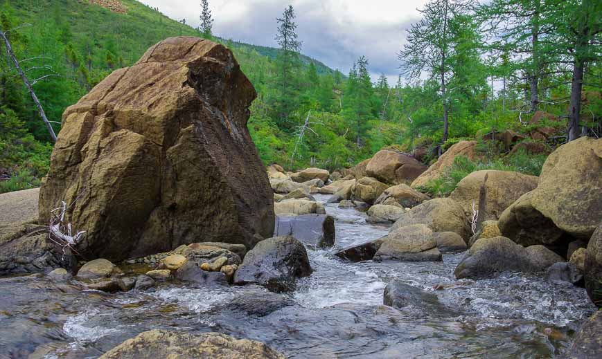
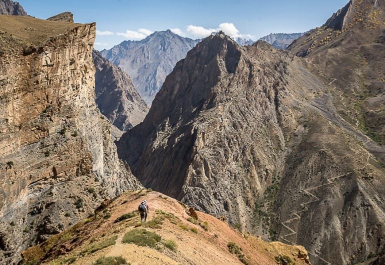
But the hiking is never easy until I’m on the home stretch. In fact there is what feels like kilometres of boulder hopping. These would be slippery and miserable to deal with if they were wet.
Final thoughts on Le Mont Albert
The Mont Albert hike is one of the most surprising and rewarding hikes I’ve ever done – and that’s without a caribou sighting.
But the reality is that it should only be attempted by seasoned and prepared hikers. Choose Mont-Jacques-Cartier for an easier alternative. If the weather gets bad, the summit wouldn’t be a fun place to be.
A few things to take on the hike
Don’t forget water purification tablets or a water bottle with a built in filter. There are some summer days where you need to drink an incredible amount of water.
Want something comfortable to sit on at lunch time. Don’t leave home without an inflatable seat cushion.
I like using hiking poles, especially when a stream crossing or a steep descent is involved. Invest in a collapsible pair, and the lighter the better in my books.
I always pack a buff as it’s got so many purposes – neck warmer, keeps hair off your face, good in dust or smoke, dip it in water to cool your neck, and 99 other things.
Where to stay close to the Le Mont Albert hike
I stayed at Gîte du Mt-Albert – the closest hotel to the trailhead. It wasn’t fancy but I sure loved the location.
If you want to be surrounded by hiking trails the Auberge de Montagne des Chic-Chocs in the heart of the Chic Choc Mountains would be an excellent choice.
Further reading on things to do in Quebec in summer
- A Boat Trip to Bonaventure Island and Percé Rock
- Quebec Road Trip: Quebec City to Havre-Saint-Pierre
- A Trip to Mingan Archipelago National Park in Quebec
- A Road Trip Around the Gaspe Peninsula
- Hut to Hut Hiking on the Charlevoix Traverse
Click on the photo to bookmark to your Pinterest boards.

My wife and I did the hike up and down Mont St Albert in 1971 when living in Ottawa and touring the maritimes. It was hard but well worth while though by the time we got back to our tent in the campground by the river my wife could scarcely move – she reckoned it was what started her on the path to hip replacements! No boardwalks back then and just as many tree roots and boulders in parts. Definitely harder down than up.I still enjoy looking at the photos I took and may now add a few more of the great ones of Leigh’s to my album.
@Duncan Thank you for the lovely comment. The boulders on that trail are like nowhere else I’ve seen!
Thanks, I went part way up the other day, but could not ascend any further, due to a storm with high winds on top. I used your photos to psych myself up for the 17 km that I did complete. It was wonderful.
@John I think its a stellar hike though the footing in places with all those big rocks makes it slow going.
Hello were are leaving next weekend to Gaspesie and of course trying de mont Albert hike question how long did it take you how much in shape are you because i was reading its very very hard could you please let know my husband is not in great shape his in shape but not quite at his best and another questions i am very scared of bears should we be worried? thank you
@Roxanne I’d call it a hard hike and would choose the other hike – Mount Jacques Cartier – where you get shuttled part of the way up so there’s not as much vertical gain. There are enough people on the trails that bears aren’t a big issue. Talk a lot and make noise. Hike with others. And carry a can of bear spray.
Hi Leigh…came across your review by googling Mont. Albert. I’m up in Gaspe right now, and am going to hike it tomorrow….something seemed familiar with the review here, especially the vivid photos, then I saw it was your blog site…beautiful shots as always!
@Glenn Truly I loved that hike – especially doing the loop and starting with the steep ascent.Have fun – and you’ll be happy to know the book is due out this fall.
Great to read something about hiking in Eastern Canada. Western Canada gets most of the focus over here in the UK, and I’m sure there are some wonderful trails our East. Thanks Leigh for some inspiration.
Western Canada always seems to get the lion’s share of attention but this hike and a trip to the surrounding area would be very worthwhile.
Incredibly beautiful! I’ve never heard of these mountains before but now I really want to go there!
@Lauren I don’t think many people outside of eastern Canada have heard of them – and this should absolutely go on your bucket list.
The Chic Chocs are renownded for their beauty and your breathtaking photos suggest everything that I have heard is accurate! Gorgeous!
@Mary It was such a wonderful day and even more so because it was so unexpected,.
Gorgeous but very challenging hike. Did you go it alone, Leigh?
@Sophie It was actually easier going up – though certainly steep and it got my blood flowing. Down was tricky and since I did do it alone I paid a lot of attention to my footing.
6-8 hours for a 17 km hike says something about the challenge involved.
Quite breathtaking…I can smell the clean air. And it looks like no one else was around! (or as brave as you!)
@Charu I saw no one for the bulk of the hike but the further I descended the more people I came across.
Wow! What a stunning landscape and you can still drink the water there. Thanks for being intrepid. I get to visit so many places I never would armchair traveling with you.
@Billie It is an amazing landscape though as far as water goes I’d still use a filter just because of all the wildlife.
Spectacular, Leigh!
That is really flat but so beautiful. Even with the challenged, I can see why Mont Albert was so rewarding.
@Marcia Fortunately there is an easier option to get similar views of the area with Le Mont Jacques Cartier but I was very happy with my choice.
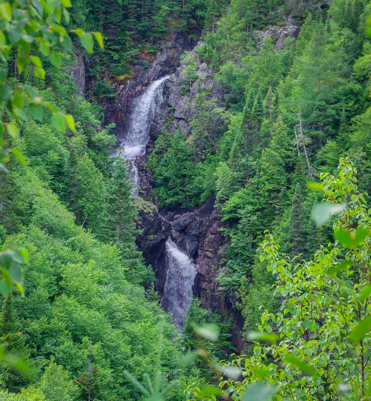
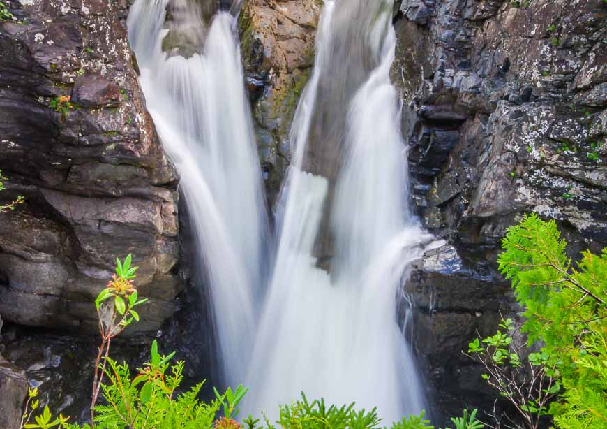
That is some spectacular scenery! I have never heard of Le Mont-Albert or Le Mont-Jacques-Cartier but I surely will remember them now. Those boulders look very intimidating. I’m not cut out for 6-8 hour hikes so I always love virtually traveling with you to these remote and incredible places. Love the waterfalls shots!
@Mary I think for families climbing (hiking) Le Mont – Jacques-Cartier would be an amazing experience especially with the strong likelihood of seeing caribou.
That was one challenging day for you my dear, but as always the landscape was worth every sweat 🙂
@Agness It was definitely a tough hike especially as I did it alone but truly it was an amazing hike – just wish I’d seen some caribou.
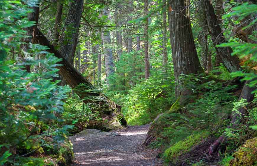
Wow, emerging from the trees on the way up must have been spectacular. What a view! Le Mont-Jacques-Cartier definitely has an appeal from what I can see in your photos — and it has such a beautiful name. 🙂 Oh, those roots in the path look challenging, but very cool.
@Cathy The hike way exceeded my expectations and the summit was awe inspiring. I just wish I had more time to spend on top and it would have been a good one to share with my husband.
Magnificent!! I still can’t get over Mont Albert in all of its flatness! But the views once you arrived at the summit are indeed worth the rigorous workout! And I would love to see that 4-Star Resort. Do you know the name of it?
@Jeff I guess if I’d done some more research ahead of time I would have appreciated that not only the flatness but the size of the mountain itself. But sometimes it’s nice to have such a pleasant surprise. The hotel is called Gite du Mont Albert.
The hotel is called Gîte du Mont Albert!
Incredibly beautiful photos, Leigh! I had never heard of Le Mont Albert before – we have such a beautiful country and I love how your posts take me to parts of it that I would be unlikely to see otherwise.
@Lisa Outside of Quebec or some hard core outdoorsy types from the northeastern US I don’t think many people have heard of Mont Albert let alone the Chic Chocs. It was an outstanding hike – one of the best of the summer.