Pangnirtung, Nunavut – Photos to Inspire a Visit
These 10 photos of Pangnirtung come from a hiking trip to Auyuittuq National Park on Baffin Island in Nunavut. John and I spend two weeks backpacking across the Arctic Circle in the park, starting and ending the trip with a night in Pangnirtung.
It’s a remote community accessible via air from Iqaluit. Pangnirtung was far more beautiful than expected but I cannot imagine surviving the climate. On the day we arrived – June 30th – it was just above freezing – and with the wind chill, well below.
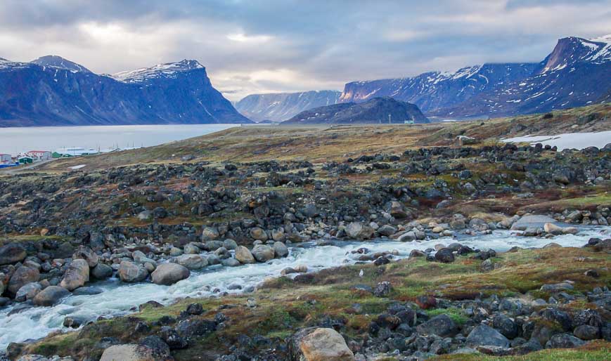
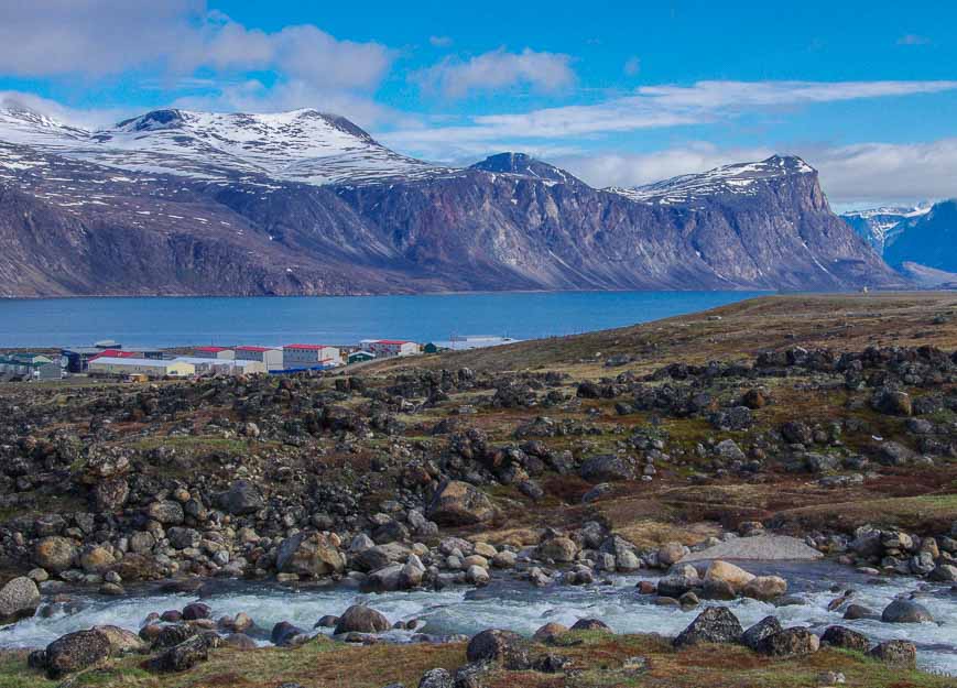
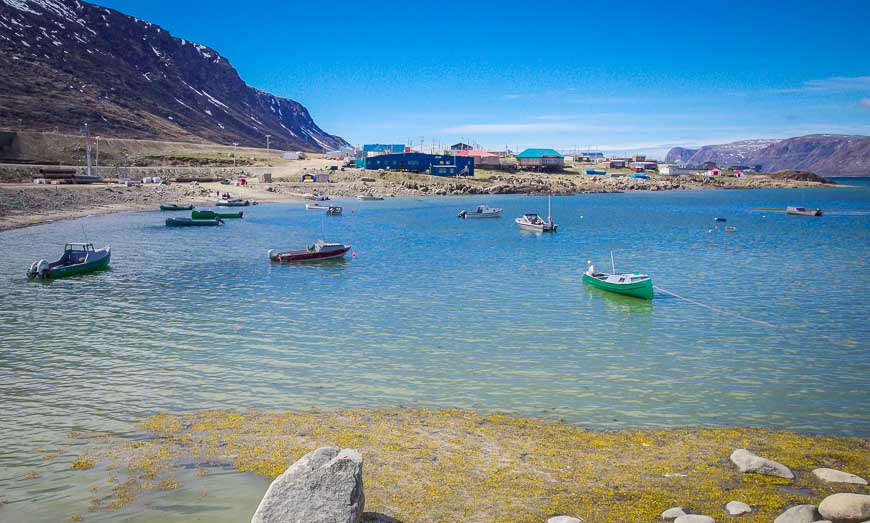
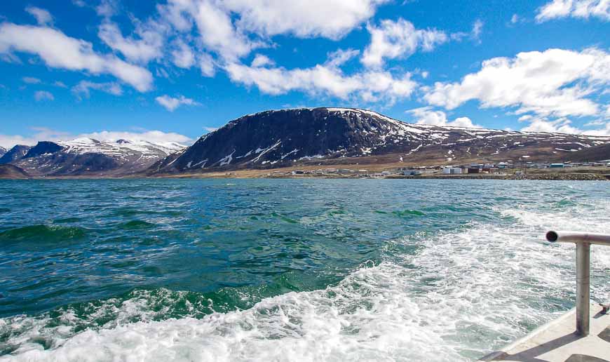
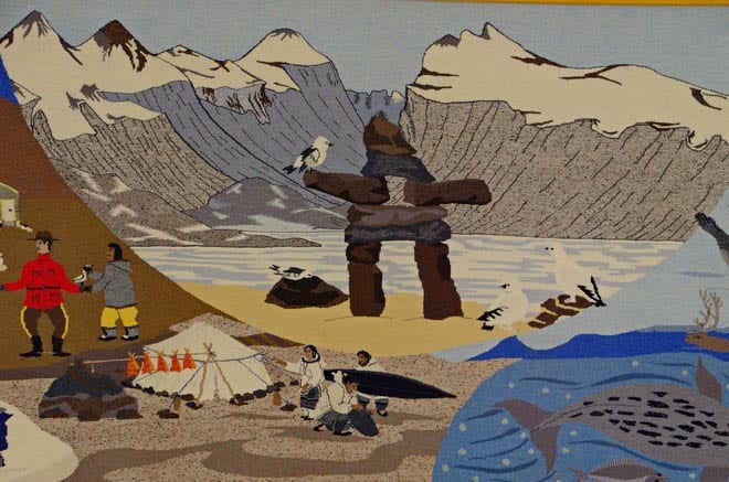
As of 2016, only 1461 people call “Pang” home. The Inuit hamlet is only 50 kilometres south of the Arctic Circle. The community is considered famous for its tapestries and lithographic prints – two of which we bought when we were up there. Located on a gorgeous fjord, this little hamlet is the main gateway to Auyuittuq National Park. It’s popular with both hikers and climbers.
In the summer this area gets 24 hours of sunshine between June 8th and July 4th. However in winter, it doesn’t receive direct sunlight from mid-November to mid-February – and it can get brutally cold.
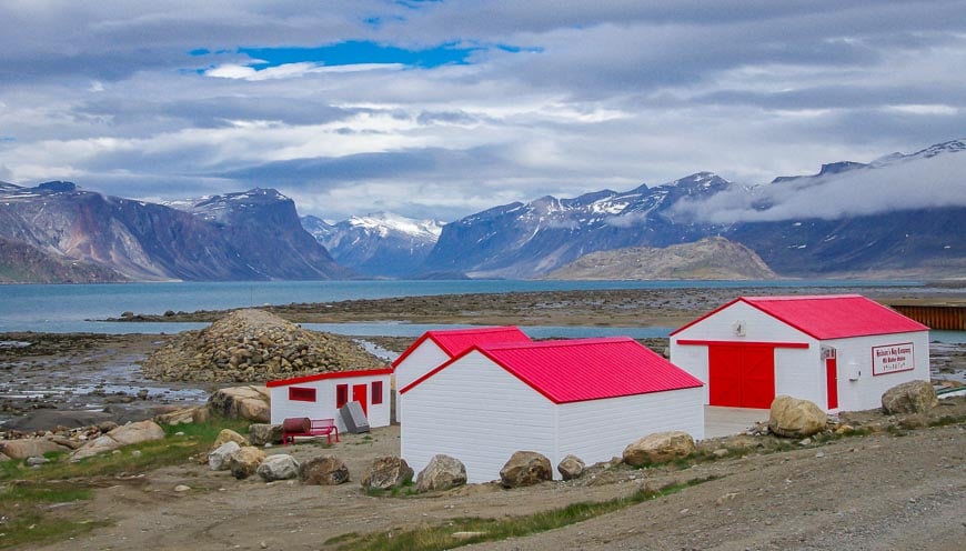
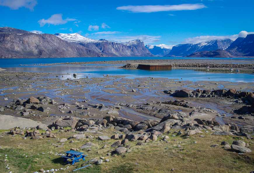
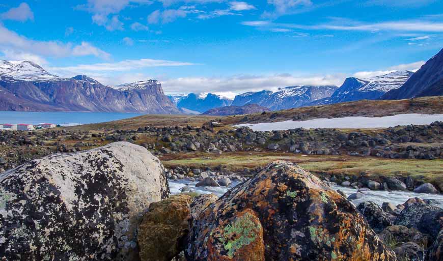
These 10 photos will give you an idea of the drama and beauty of the landscape around Pangnirtung

Would you like to save this?


Further reading on things to do in Canada’s North
For more information on Nunavut visit the the Destination Nunavut website.
- 4 Arctic Hikes in Ivvavik National Park
- The Ivvavik National Park Base Camp Experience
- A Backpacking Trip in Auyuittuq National Park
- Across the Arctic Circle on Foot on Baffin Island
- Visiting Iqaluit, Nunavut on an Airport Layover
Click on the photo to bookmark to your Pinterest boards.


Pangnirtung is indeed a beautiful place. Photos are great. This is my story and video of a hike through nearby Ayuittuq National Park. http://davestravelsblog.com/home/arctic-hike-no-path-to-follow/
Woow!! Stunning Pictures!
Pangnirtung is a very special place and remote area I its incredible environments and beautiful sceneries
@Dave it was a privilege to visit such a place.
Lovely photos and I could borrow the idea for my blog too.
@Rachel I think so many travel bloggers end up with a mess of photos that just sit on the computer. I know I probably have a year’s worth of short posts with the leftovers.
This is a great idea, Leigh! I should do something similar because I am also such a shutterbug that I find I just don’t have the ‘umphh’ to write about everything (and I don’t want to drive my subscribers nuts with too many posts either!) Beautiful shots, thanks for sharing them.
@Jackie I try to delete photos one a first pass and then I go back and get pickier with time but there are still some that deserve to see the light of day.
With over 1300 photos from Asia and about 600 from Florida, I will be doing a post or two from the ones I don’t use in the coming months. I love the photo of the buildings with the lake and mountains in the background.
@Ted I hate to have some great photos and awesome experiences go to “waste” so I feel like a weekly feature is a good way to showcase some of my adventures.