A 3 Day Hike on the Cape Chignecto Trail
Cape Chignecto Provincial Park, home to the Cape Chignecto Trail, is located on the Bay of Fundy near the small community of Advocate Harbour, Nova Scotia.
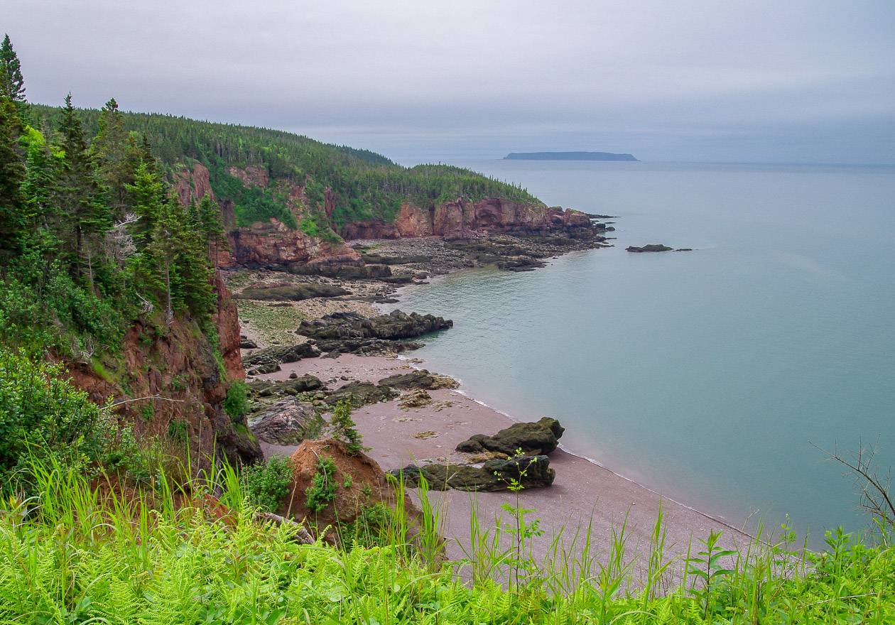
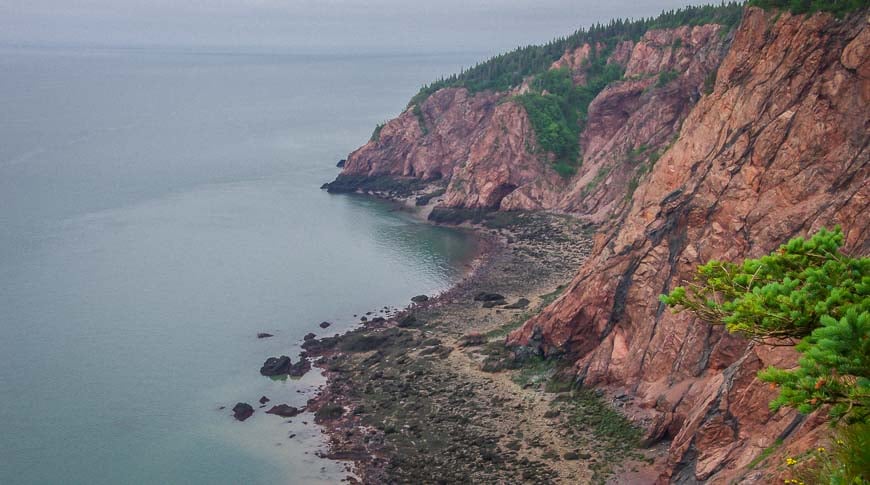
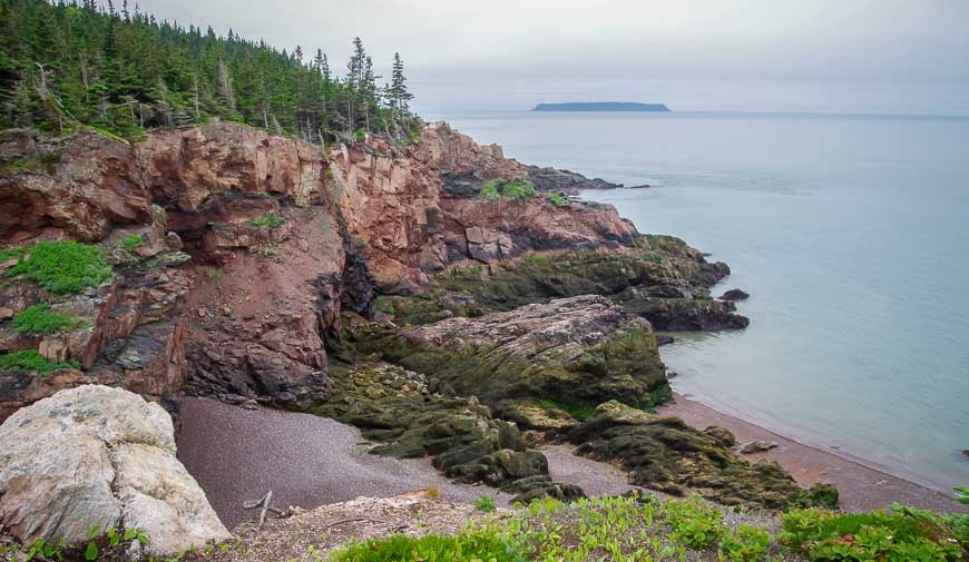
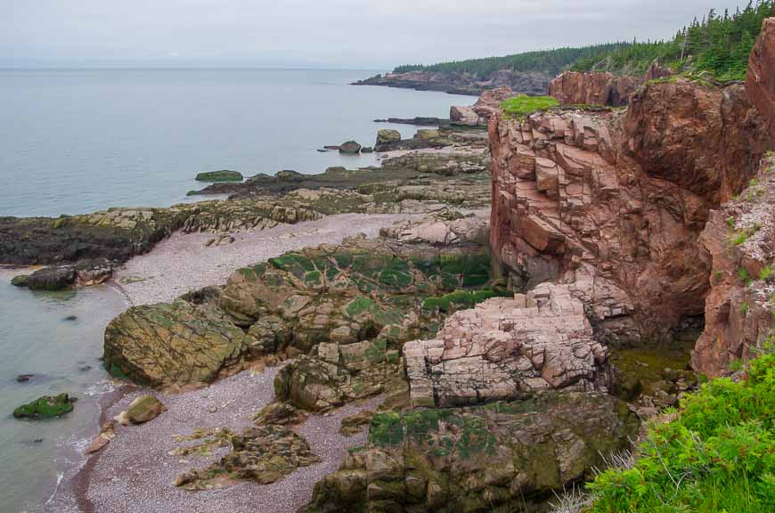
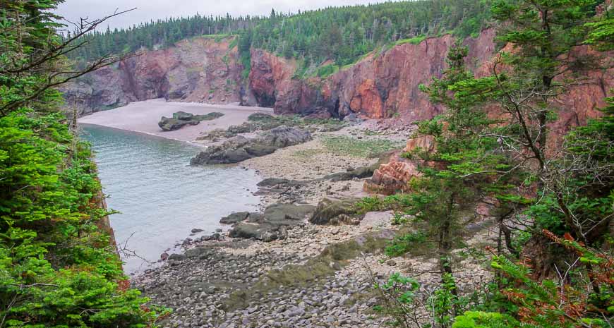
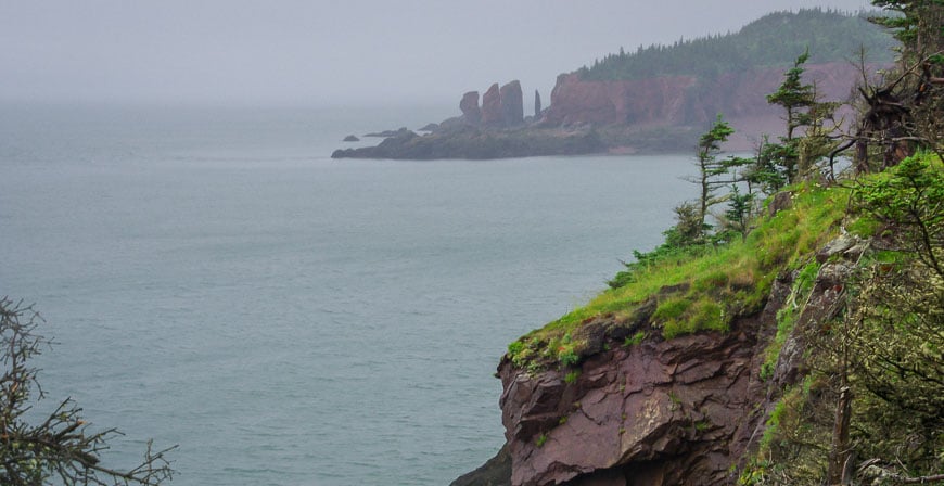
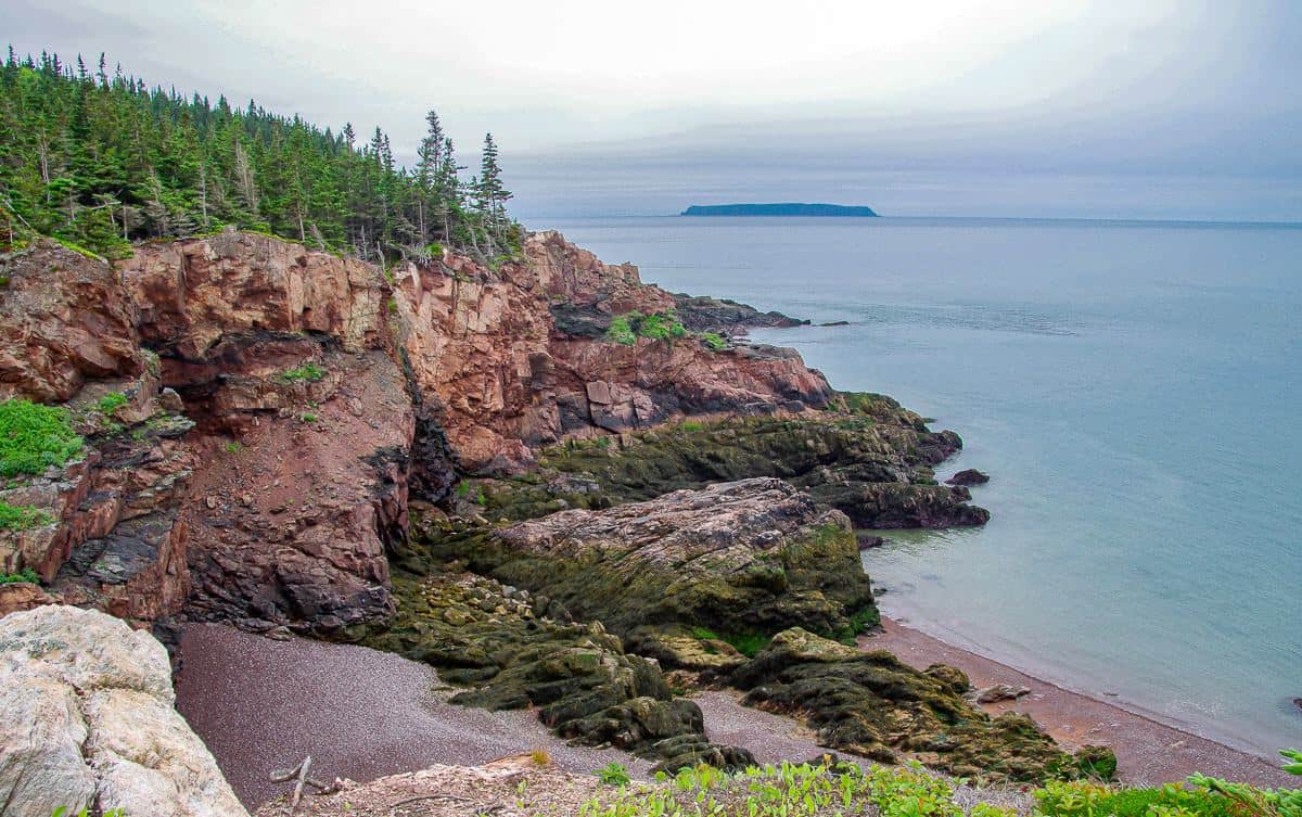
It’s the largest park in the province (4,200 hectares) offering a mix of outstanding coastal scenery, complete with dramatic 200 metre (600 feet) high red cliffs, sheltered coves and remnant old growth forest.
The 52 km (32 mi) physically demanding Cape Chignecto Trail requires three to four days. It can be done in either direction but, you do have to plan what campsites you’re going to stay in, before you make your reservation.
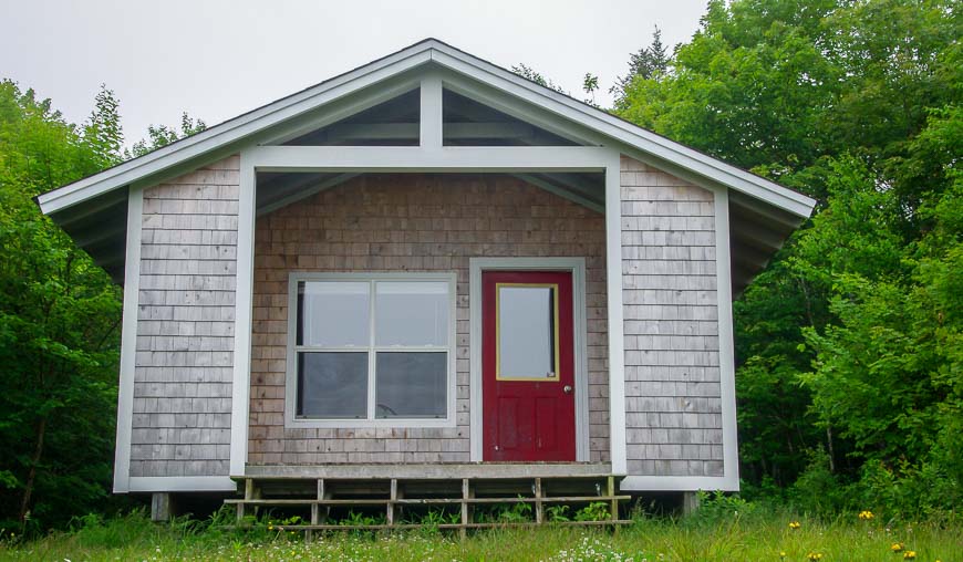
You have the option of tenting or booking a hut. The huts lack the wilderness feeling as there are dirt roads leading to them but what they do offer is a dry, bug and bear proof roof over your head.
This post includes some affiliate links. If you make a qualifying purchase through one of these links, I will receive a small percentage of the sale at no extra cost to you. Thank you very much for your support.
Would you like to save this?
Cape Chignecto Trail summary
Distance: 52 km (32 miles)
Level of difficulty: Difficult – a rugged trail with lots of ups and downs including steep stairs, and slippery rocks. Little time is spent hiking the beaches.
Good to know: Hiking along the beach west of McGahey Brook is not permitted.
Time needed: 3 – 4 days
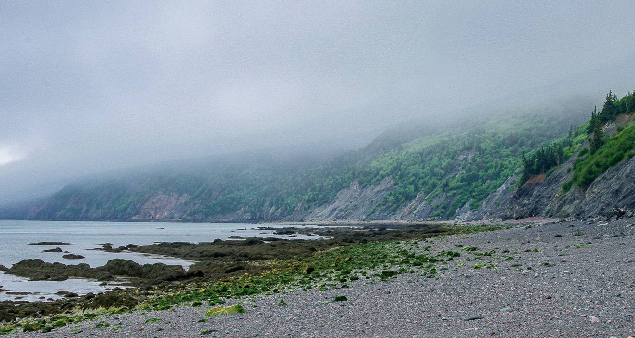
Highlights: Outstanding coastal scenery, complete with stunning 200 m high red cliffs, highest tides in the world, numerous pocket coves, some remarkable old-growth forest, and a fog forest.
Fun fact: Eatonville was at its peak in the 1890’s when 350 people involved in lumbering and shipbuilding called the place home. It’s now a ghost town.
Option for a day hike: Hike to Seal Cove and back from Eatonville to get a taste of the dramatic coastal scenery along the Cape Chignecto Trail.
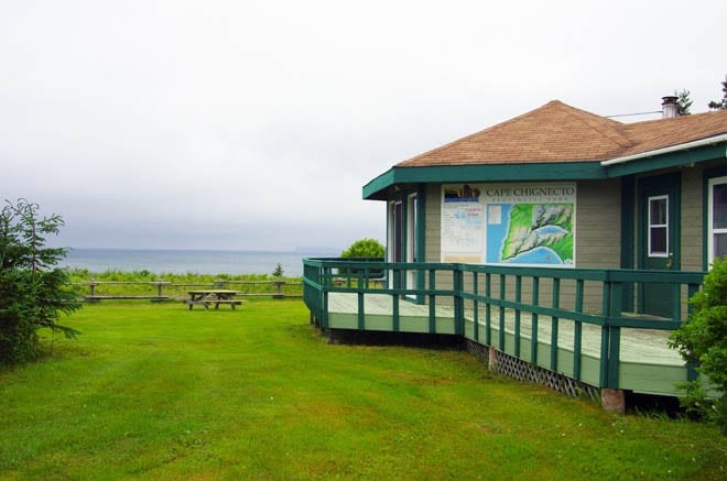
Registration: All campers need to register at the office before starting the Cape Chignecto Trail. The office is open from 8:30 AM – 8 PM.
Fees: There is no charge to hike on any trail in Cape Chignecto Provincial Park but you will have to pay for camping. See section below.
Beware of tides: The tide rises and falls at a rate of an inch per minute. Be mindful of what direction the tide is flowing if you’re walking the beaches.
Finding water: Fresh water is never an issue on the hike but be sure to treat it with water purification tablets.
Bears: Take bear spray as there are black bears around. I didn’t have any, but I made noise all day long on the trail.
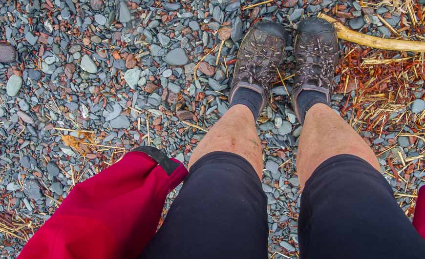
Hiking boots: Bring sturdy hiking shoes. I ended up with three black toenails (just lovely for summer) because I wore lightweight hiking shoes.
Don’t forget: Make sure your pack includes the hiking essentials like a headlamp and a first aid kit.
Weather: It can rain hard here. Be sure to pack rain gear. That includes a rain cover for your backpack, rain pants and a rain coat.
Cape Chignecto Provincial Park location
Cape Chignecto Provincial Park is located on the Bay of Fundy near the small community of Advocate Harbour. It’s the largest park in the province and one that offers truly dramatic scenery.
Cape Chignecto is a peninsula that juts out into the Bay of Fundy – dividing it into two arms. Minas Basin lies to the south and Chignecto Bay to the north.
Going solo
A 3-day hike on the Cape Chignecto Trail can feel like a long time if you do it solo, especially when you don’t see another human until the afternoon of the last day.
That’s exactly what happened to me when I backpacked the coastal trail in Cape Chignecto Provincial Park in Nova Scotia. I endured extreme silence – except for the sound of my own voice for all but 5 minutes.
Camping options on the Cape Chignecto Trail hike
I had planned to camp for the two nights I was out on the Cape Chignecto trail and in fact had made a tenting reservation.
But then while enjoying breakfast and conversation at the Cape d’Or Lighthouse, the owner asked me why I wasn’t staying in the huts. I didn’t realize at that time that there were backcountry huts along the trail – so the owner of the lighthouse made a phone call immediately to check on availability – and lo and behold they were all empty.
Cabins are basic, outfitted with bunks, a wood fired stove, picnic tables, treated water and outhouses. Cabins are for single group use even if your group is one person. However, cabins aren’t as close to the water, so if its views and beaches you want, then plan to tent.
Book campsites online between May 15 – October 12, 2025. You can also walk up to the Visitor Center and see what might be available.
Hikers can reserve campsites in the woods. Be warned that the beaches which make the best campsites are reserved for the use of kayakers.
- There are 47 backcountry campsites accessible from the park office at the Red Rocks trailhead – none of which are designed for hammocks.
- From the New Yarmouth parking area you can access 30 walk in campsites.
- There are 3 cabins at Big Bald Rock, Carey Brook and Arch Gulch. They provide treated water. And each one has an outhouse.
Fees for camping on the Cape Chignecto Trail
It’s $60.00 (2025 price) per night for the cabin – and it can accommodate 4 – 6 people. Each additional person over four people is $11.85. Once you’ve booked it, your group gets the whole cabin. There is no sharing with strangers.
It’s $27.00 per night for a backcountry campsite in 2025.
There is also a reservation fee of $9.00.
Is there wildlife on the Cape Chignecto Trail?
I was a little nervous going off by myself – not that I doubted my abilities but I was once again entering country where you might see a bear and there had been an incident a few weeks earlier.
If you had followed my adventures during my Nova Scotia travels you’d know about my bear encounter in Kejimkujik National Park – and that played with my mind.
Although the park is home to black bears, the chances of seeing one are low. You might see a moose or a bobcat – along with lots of bird life.
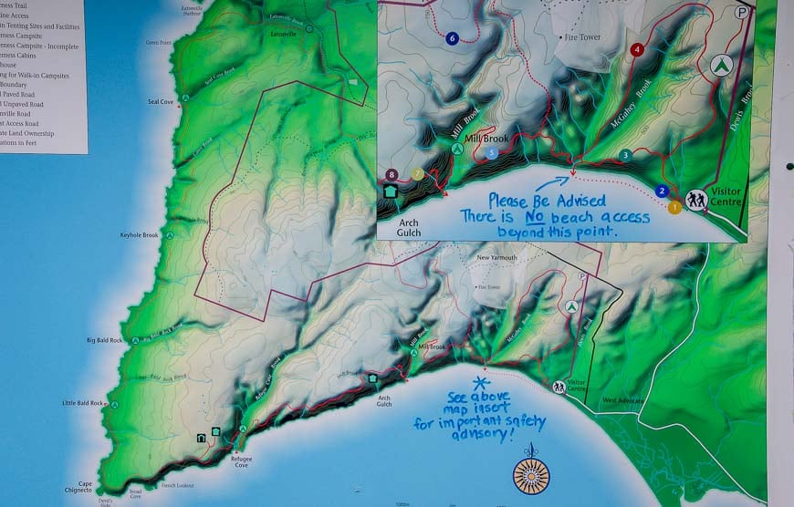
Here’s a rundown of what my 3 day trip on the Cape Chignecto trail looked like
Day 1: Hiking from Red Rocks to Arch Gulch
Distance: 6 km
Time: 2.5 hours
Without a tent to carry my backpack was a tad lighter than I expected it to be. I also wasn’t carrying a stove or fuel as it’s such a hassle now to bring a stove on a plane and I didn’t want it confiscated.
It was to be three days of cold meals – including a cup of cold instant Starbucks coffee every morning for breakfast to stave off a caffeine headache. Yum.
On the first day on the Cape Chignecto Trail I hiked only 6 km – and though the distance was small, it is the hilliest part of the trail with very steep ups and downs. The trail starts by the Red Rocks on the beach.
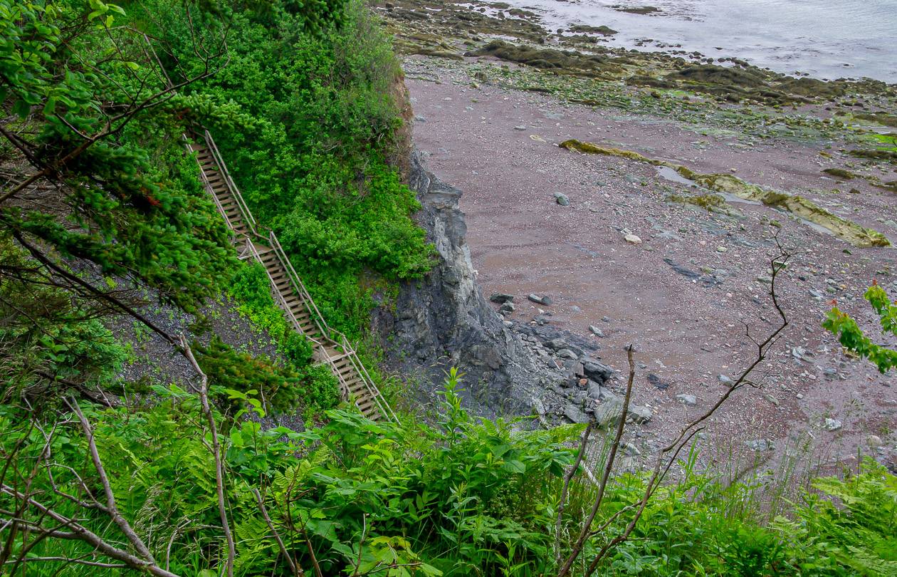
The first 1.5 km on the Cape Chignecto Trail go quickly enough but you do have to keep an eye open for the stairs leading up to the main trail – and judging by notes left in the cabins many people missed the stairs (and had to retrace their steps) as they’re tucked in behind a rock. There are 65 stairs to the top.
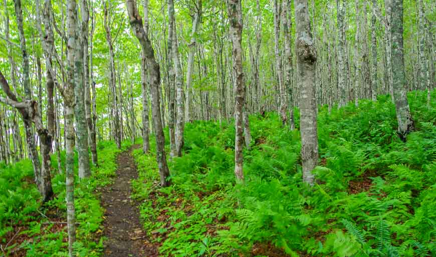
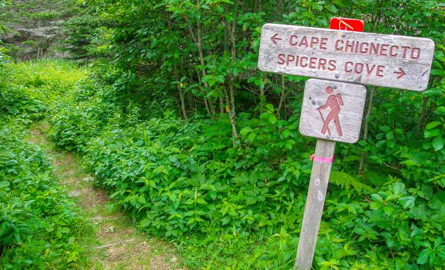
The trail is easy to follow though there aren’t a lot of signs. Most of today’s hike was through forest with little in the way of views. It was over in no time and I felt a little guilty about finishing so quickly but pulled out my Kindle and got over it.
Day 2 on the Cape Chignecto Trail: Hiking from Arch Gulch to Big Bald Rock
Distance: 15.1 km
Time: 4 hours
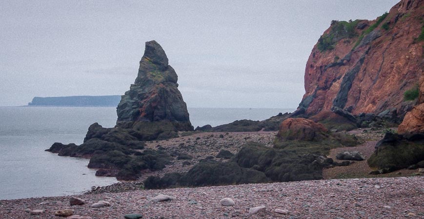
From Arch Gulch to Refugee Cove – where most people camp the first night, it’s 6 km. I dispatched with that in 1.5 hours. The beach at Refugee Cove is quite lovely – and one used for camping if you’re a sea kayaker.
I don’t quite understand the logic of making the beach available to kayaking parties only (as there aren’t very many of them over the course of the summer) and the beach is a FAR preferable campsite than what is offered in the woods to backpackers.
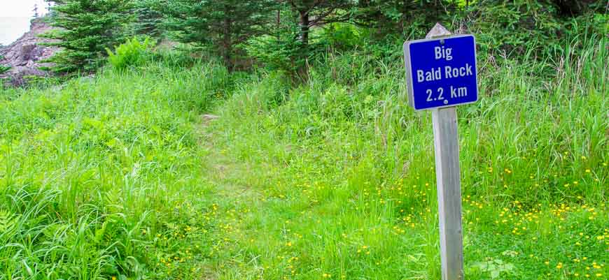
From Refugee Cove all the way to Big Bald Rock the Cape Chignecto Trail got far more interesting.
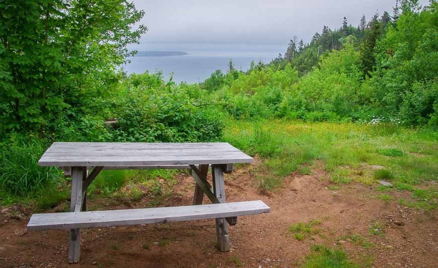
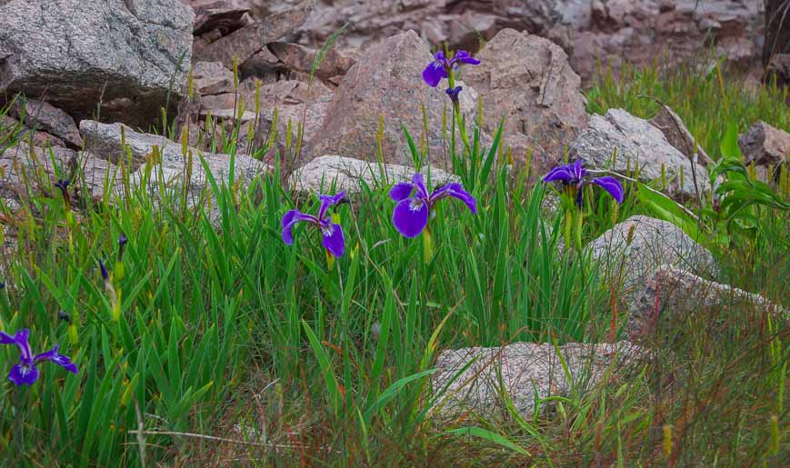
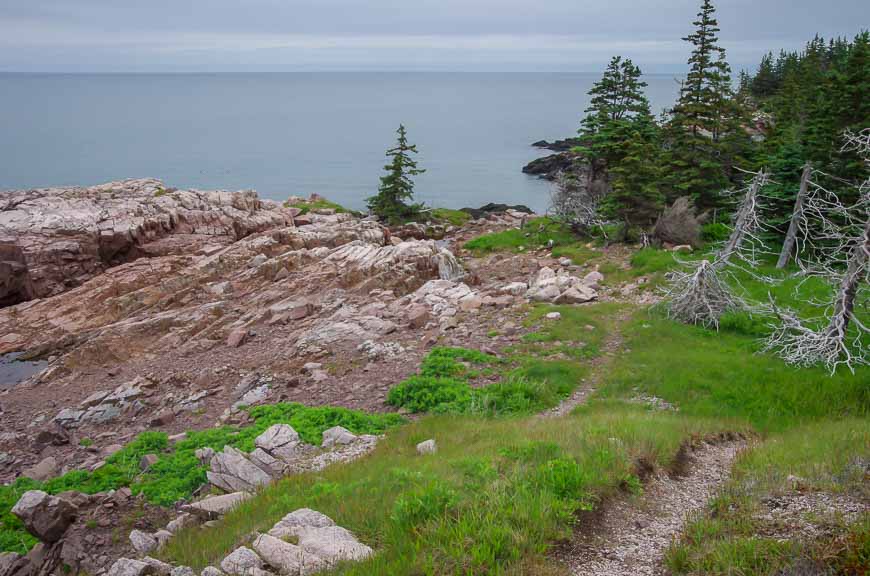
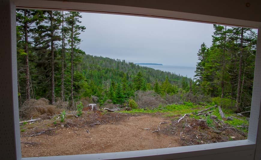
There were numerous lookouts along the way offering spectacular coastal vistas. Cape Chignecto itself wasn’t nearly as dramatic as the rest of the shoreline. Seabirds and wild flowers made this part of the hike very enjoyable.
Day 3 on the Cape Chignecto Trail: Big Bald Rock – Seal Cove – Eatonville – Visitor Center
Distance: About 27 km
Time: 8.5 hours
My last day was the biggest and not one I’d recommend to people. If you can, do a car shuttle at the beginning of the trip and leave one car parked at the Eatonville trailhead.
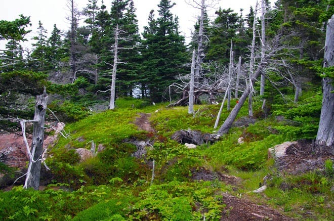
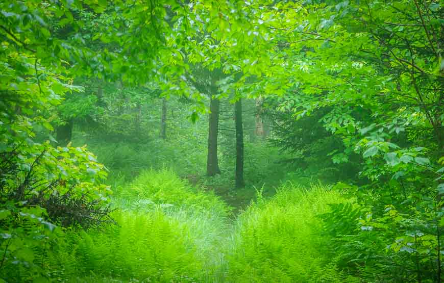
The last 14 km is unremarkable except for the fog forest – which you might see on the first day of hiking.
And in fact this section of trail has many downed trees and VERY LITTLE in the way of trail markings. It needed work when I hiked it though in 2023 I would think it’s in far better shape. Ask at the Visitor Centre before you head off.
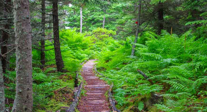
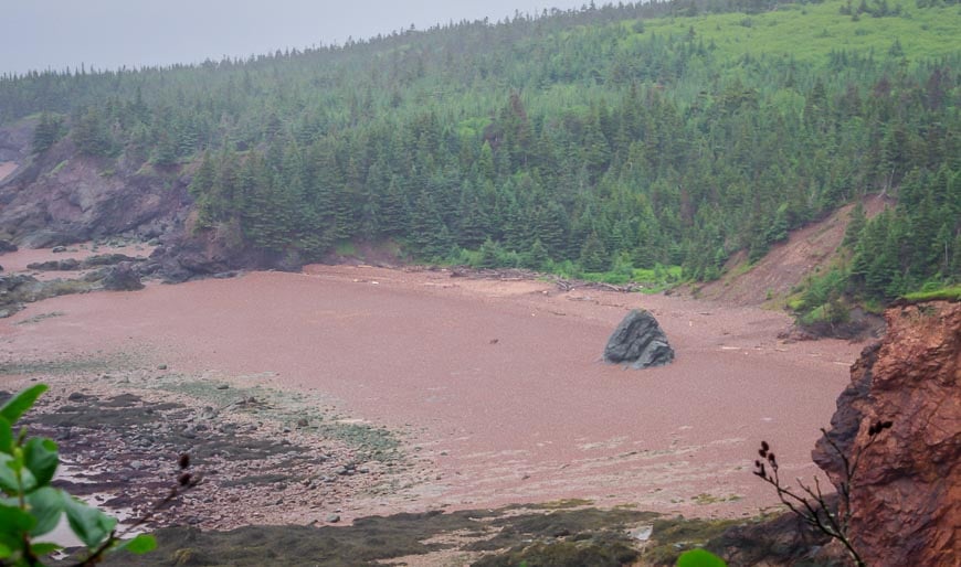
However, there are some lovely sections of the trail. On the way to Keyhole Brook there is a beautiful open area with extremely good views – but then it’s back to forest walking for most of the way to Keyhole Brook.
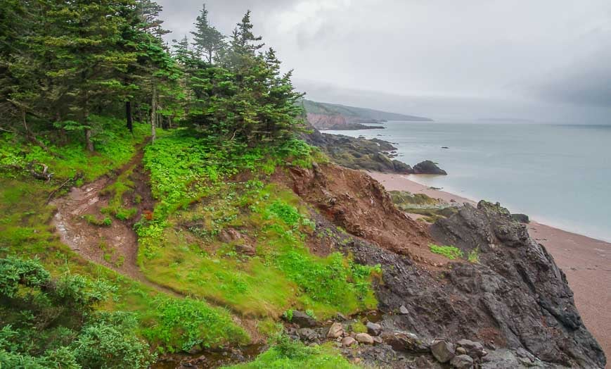
It gets better again the closer you get to Seal Cove – and for a kilometre or two past it. Seal Cove is another place where people camp a lot – either on the first night going in if hiking in a counterclockwise direction – or on the second night if they’re hiking in a clockwise direction.
Where to stay before or after the hike
Parrsboro, 40 minutes east of Advocate Harbour is home to many exceptional properties.
The Fox Point Inn with a private beach is rated as exceptional.
The Parrsboro Mansion Inn has a swimming pool and garden and is rated as superb.
Other posts related to Nova Scotia
- A Guide to Visiting Liverpool, Nova Scotia
- Brier Island, Nova Scotia Guide
- The Hike to Cape Split in Nova Scotia
- Best Things to Do in and Near Shelburne, Nova Scotia
- 6-Day Central Nova Scotia Road Trip Itinerary
Click on the photo to bookmark to your Pinterest boards.


Great post! Thanks for the info
@Leanne Hope you enjoy the hike when you end up doing it.
Dear Leigh, would you permit us to use a couple of your lovely photos (with credit) on our interpretation panels for Cliffs of Fundy UNESCO Global Geopark?
@John I will email you.
Beautiful post! What time of year did you go?
@Nadja In late June.
I did it quite a few years ago-ill prepared fitness wise for the (^%## inclines, but otherwise so glad I did. I was happy to have the cabin for the same reason you did-nears. Never saw a sign of one in the park, though. Good post!
@Susan Those cabins are a godsend – just wish they had slightly better views.
it appears as if there was no wildlife, as a wildlife photographer I would have been disappointed despite the beautiful views. was there nothing to be seen? I’m debating a camping trip here or elsewhere on the east coast either in Canada to the U.S. and have been really hoeing to capture the elusive black bears of Nova Scotia they seem to be so well adaptive at staying away from humans, which is not a bad thing for their own preservation. I’m also looking to photograph the mainland moose which again are highly elusive given their small numbers.
@Lisa I saw squirrels, the snake but nothing else. As a wildlife photographer you might get some birds as well. I don’t know how often the bears and moose are typically seen. It’s still a very beautiful area.
Inspiring post, thanks. Your pics are way better than ours, really lovely. A question: do you think it would be possible to boil or heat water using the stoves in the cabins?
Beautiful desolate scenery, Leigh. Your forest shots came out very well, and that’s not something easy to achieve from my experience.
@Andrew The fog forest shots worked alright – maybe I was lucky with the lighting. It was one heck of a 3 day trip and interesting spending that much time alone.
You make my home province look awesome Leigh! I will have to try to work this trek into my future outdoor adventuring plans… 🙂
@James It was an awesome hike and one more people should know about.
I’m not sure I could endure so much solitude, but really admire your guts.
@Mette I didn’t think I’d have that much solitude on the backpacking trip and though lonely at times it’s also a great trip for building one’s confidence. I would do it again – as long as I had a few good books for company.
That’s really a LONG time to go without seeing anyone, but it’s zen in a way, right? Beautiful views, Leigh.
@Charu It felt like a long time but now that I’ve done it once I’d do it again. It really helps build confidence.
You’re so awesome! I don’t think I can go on a trek by myself. I’m afraid I might find that I make a pretty boring company to myself 🙂
@Jill I feel proud that I did it but am in no rush to do a solo experience anytime soon.
Beautiful scenery. Sounds like you had a good time. The backcountry permit seems awfully expensive.
@Tim The park permit was reasonable and if you’re referring to the backcountry lodges keep in mind that it’s usually a group of 2-6 people splitting the $57 per night cost so it becomes quite reasonable.
Wow, what the wonderful experience narrated beautifully! all the pictures looking beautiful and peaceful. hope you’ll also visit my blog.
thanks for sharing your experience with us through this post.
Another beautiful series of photos. Although the rain has been a pain in the neck this spring/summer, it really has done wonders with the trees and wildflowers as shown in this post. Everything looks so vibrant.
@Ted The fog forest – a term I’ve never heard of before certainly speaks to the amount of rain the park received before I got there. I thought this park was particularly beautiful.
I’ll be doing a three-day solo backpacking trip in Rocky Mountain National Park this month. I totally agree about the loneliness factor. I can’t even imagine what it’s like to be out for a couple weeks at a time like some people do.
Wow – you’re so brave. I don’t think I’d feel comfortable/safe hiking solo for 3 days. I applaud you! The photo of your lookout from Cape Chignecto is simply stunning. Glad that you enjoyed your adventure!
I absolutely love hiking alone, though I have never had quite the bear encounter that you did. There is something so calming and relaxing about it that I just love. Those cliff top views look absolutely amazing too and totally worth the trek. I think you may have just added another hike itinerary for me!
@Ron I love hiking alone – but not so much in bear country. Cape Chignecto is very much worth putting on your hiking bucket list.
Stunning scenery and setting, Leigh. I’d have opted for the bear-free huts as well!
@Jackie It was a no-brainer when I heard about them.
Wow, you are such a courageous woman in my eyes. Respect, respect!
@Marlys I have scared my self plenty of times this summer but I keep thinking it just makes me stronger. Thanks for your lovely comment.
The views are lovely, aren’t they? Did you expect to not see anyone else?
@Gillian I was definitely surprised that there was no one else on the trail. It was late June and the snow was long gone and fortunately there was barely a bug to be seen. Really where were the locals?