Sunshine Coast Trail: What You Need to Know
The Sunshine Coast Trail in British Columbia is a 180 kilometre hut to hut hiking and backpacking trail that runs from Sarah Point overlooking Desolation Sound to Saltery Bay where the ferries come in from Earl’s Cove.
As the brainchild of Eagle Walz, the Sunshine Coast Trail was built, starting in 1992, to link sections of old growth forest before they disappeared. Eagle continues to play a major role in expanding and upgrading the trail though countless volunteers are also to be thanked for what we see today.
I spent a week backpacking two of the prettiest sections of the Sunshine Coast Trail as recommended by Eagle. I figured the information I learned on the Sunshine Coast Trail would be useful to anyone heading out, whether it be for a day or a week or more. Hopefully all your questions get answered and if not please leave a comment and I’ll try to help.
Would you like to save this?
This post includes some affiliate links. If you make a qualifying purchase through one of these links, I will receive a small percentage of the sale at no extra cost to you. Thank you very much for your support.
Sunshine Coast Trail Summary
Length: 180 km or 112 miles
Time needed to hike the whole trail: 10 days
Closest town to trailheads: Powell River, British Columbia
Huts and Shelters: 15
High point on the trail: 4,232 feet
Total elevation gain: 6,953 m or 22,812 feet
Fees: Free but donations are welcome.
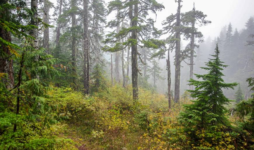
Landscape: Gorgeous old-growth and second-growth forest. Coastal scenery, lakes, ponds and creeks.
Level of difficulty: Moderate to hard. Count on challenging uphill hiking, especially with a backpack. The downhill can be tiring on the knees. Beware of exposed roots and rocks.
Getting to Powell River or Saltery Bay
Powell River is the only major town you’ll visit on the Sunshine Coast Trail. You can fly into the city directly from Vancouver’s South Terminal on Pacific Coastal Airlines. It’s a very scenic 25-minute flight.
The other option is to take a floatplane on Harbour Air from downtown Vancouver. You’ll land on Powell Lake, a short drive from downtown.
Your other alternative is to drive from Vancouver. That entails two ferries and an hour of driving between ferries on the Sunshine Coast. Timing is crucial so you don’t sit in line-ups.
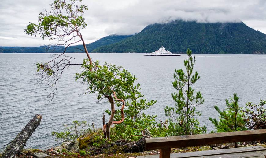
You must take the ferry from Horseshoe Bay to Langdale (a 40-minute crossing) and then do the 50-minute crossing from Earl’s Cove to Saltery Bay. You can make a reservation to get to Langdale but its first come first served to get to Saltery Bay. I would allow six hours of travel time from Vancouver to Powell River. Visit BC Ferries to see the schedules and make reservations.
From Comox on Vancouver Island you can also take a ferry to Powell River. The crossing time is 90-minutes and the ferry can be reserved.
Another option is to grab a bus called the Sunshine Coast Connector. It stops in various places in Vancouver and along the Sunshine Coast. And there is the Island Link Bus that services Vancouver Island and can get you to the Comox Ferry terminal.
How do you get to the start of the Sunshine Coast Trail?
Sarah Point is the official start of the Sunshine Coast Trail but that doesn’t mean you have to start here. You can start anywhere there is an access point and there are plenty.
Most people don’t do the whole trail and explore the Sunshine Coast Trail as a day-tripper instead – perhaps heading to one of the huts for a picnic before returning to their car.
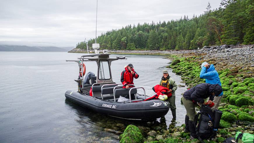
But assuming you’re interested in backpacking a part of the trail you will need to get to one of the trailheads. We did two sections of the Sunshine Coast Trail and got onto the trail via a water taxi to Sarah Point and a shuttle up the Branch 41 Road to access the Sunshine Coast Trail to Mt. Troubridge Hut.
To get to Sarah Point, we took the water taxi operated by TerraCentric Adventures in Lund. Contact them beforehand to reserve. If you’re heading to Manzanita Hut, I’d recommend leaving no later than 9 AM from Lund as it will be a long hiking day. As of 2022, there is also a hut at Sarah Point so you can finish there as well and get picked up the next morning by the shuttle.
They will provide you with warm clothes for the boat ride but put your rain cover on your pack so it starts the trip dry. (And before you head out stock up with bakery items, fresh sandwiches, homemade pizza….at Nancy’s Bakery, located underneath TerraCentric Adventures in Lund.)
If you need a shuttle to access the Sunshine Coast Trail
If you choose another starting location, chances are you may need a shuttle. Email Jesse Newman (info@sunshinecoastshuttle.ca) the congenial owner of Sunshine Coast Shuttles and two-time Grey Cup champion with the BC Lions and Calgary Stampeders. His prices are reasonable and he can take up to six of you in his four wheel drive sedan just about anywhere.
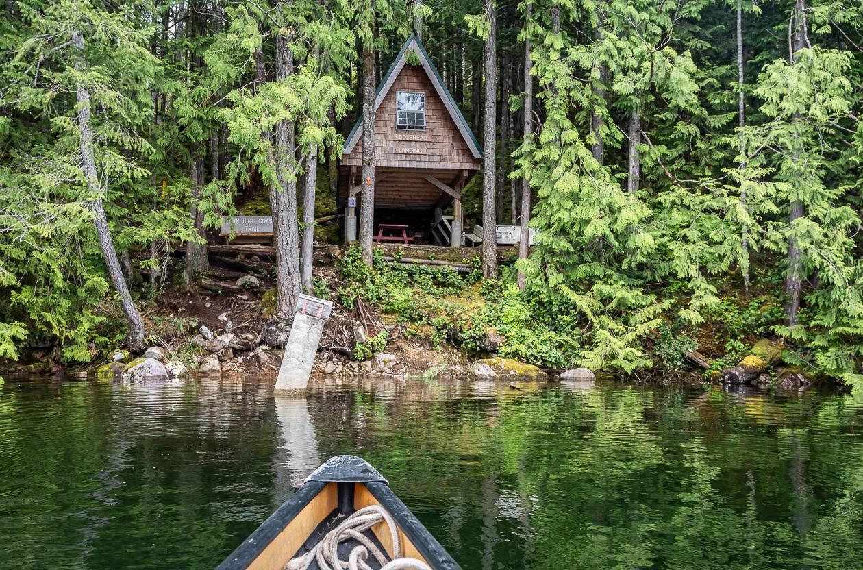
One of the prettiest huts to visit on the trail is called Tin Hat Mountain Hut. If you want to start your trip at Fiddlehead Landing and access that area then you’ll need a boat ride out of Powell River. Text Justin Behan at 1-604-483-6527 to arrange the service.
Is there cell service along the Sunshine Coast Trail?
I wasn’t sure how much cell service I’d find along the trail and before I left I received conflicting reports.
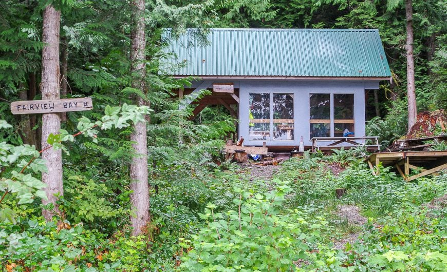
On the first section of the Sunshine Coast Trail from the Branch 41 Road below Mt Troubridge Hut to Saltery Bay I found cell service at Jocelyn Pond, at Fairview Hut and most of the way along the trail to Saltery Bay.
On the Sarah Point to Powell River section I had good cell service at Manzanita Hut and then in a random valley on route to the Rieveley Pond Hut.
I also had cell service at Rievely Pond and then of and off again to Sliammon Lake. I tried not to use my battery but for social media purposes I posted on Instagram most days. I can’t speak for the rest of the Sunshine Coast Trail but suspect you’ll get a weak signal along high points.
Where do you sleep on the Sunshine Coast Trail?
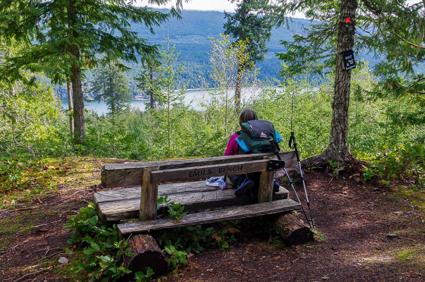
The Sunshine Coast Trail is Canada’s longest hut to hut hiking trail. There are 14 huts along the trail (and at least one emergency shelter) spaced approximately a day’s walk apart.
In theory you don’t need to camp. The 15 shared use huts are free and are filled on a first come, first served basis though donations are happily accepted. In summer some of the more popular ones are likely to be filled, especially on a sunny weekend. It would be a good idea to take a lightweight tent as a backup.
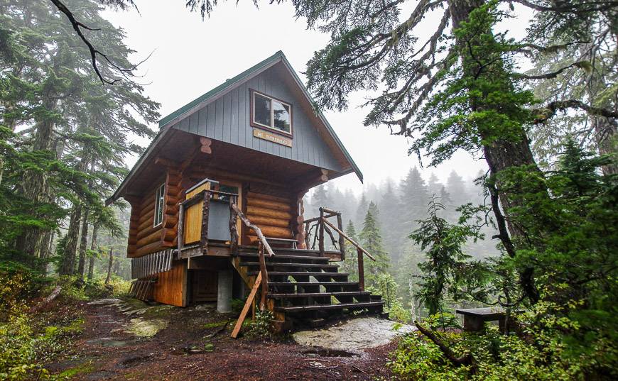
Popular huts would include Manzanita Hut, Tin Hat Mountain Hut, Fairview Hut, and Mount Troubridge Hut.
What do you get in a hut along the Sunshine Coast trail?
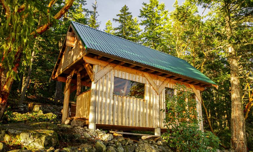
The huts are basic. Some have only a dirt floor and are open to the elements on all sides, while others are partially enclosed. Only a few are fully enclosed.
Sleeping is upstairs on a wooden floor – dorm style with most huts able to accommodate 10-12 people though the fewer people the better. There are outhouses and picnic tables and/or benches at all huts.
But be warned. Not all huts have a water source so you must carry all that you need – eg. for Manzanita Hut you must fill up 4 km before you get to the hut if coming from Sarah Point.
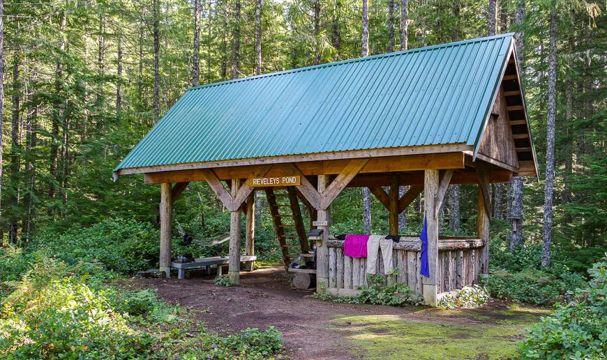
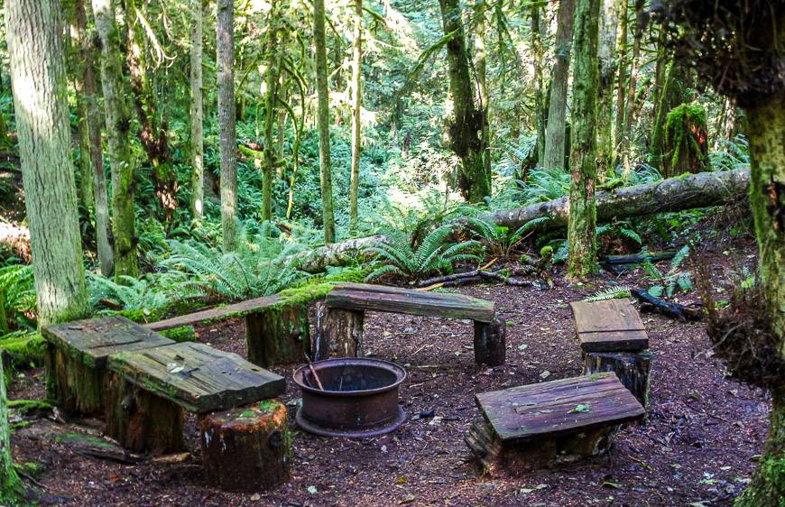
Not everyone has the stamina to hike the full distance between huts. There is the option to camp at designated campsites along the way. Most campsites have outhouses. Some have picnic tables and a fire ring (good luck getting a fire going with wet wood!!)
None of the campsites we saw had bear lockers or poles for storing food. In hindsight taking a bear proof canister for food would have been a good idea – even if just for peace of mind.
How well signed is the trail?
My biggest concern before leaving was how well-signed the Sunshine Coast Trail would be. I really had no idea of what to expect.
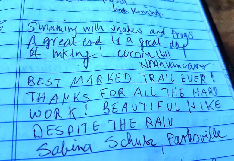
Put all your fears to bed. This is probably the BEST SIGNED trail you will ever hike. As of a few years ago there were 12,000 markers and 700 wooden signs. The Powell River Parks and Wilderness Society (PRPAWS) is to be commended for its exceptional job. There is a kilometre marker every kilometre.
But don’t just take my word for it. This excerpt is from the visitor logbook at one of the cabins.
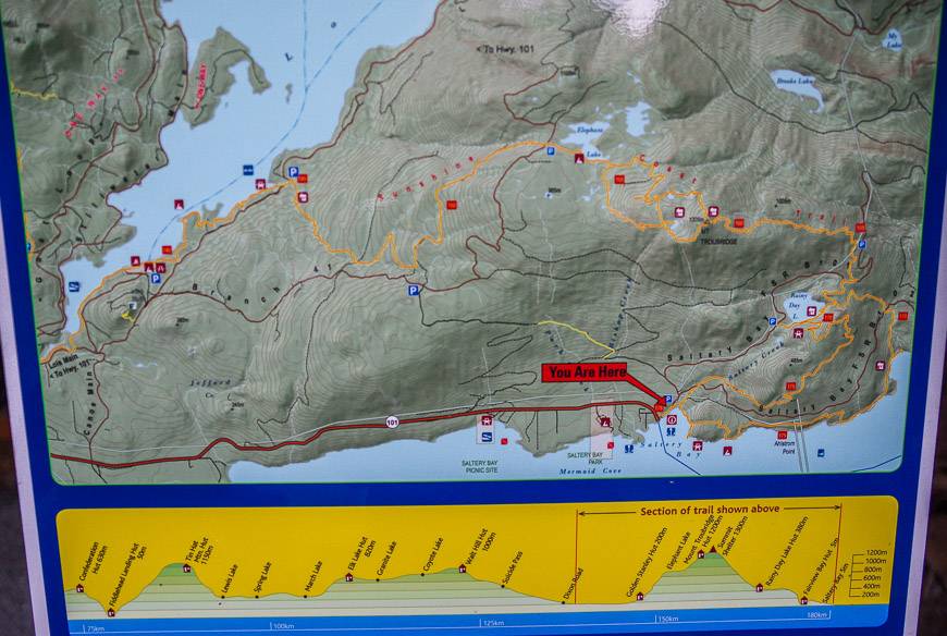
At major trail junctions there are excellent maps that also show the elevation in profile.
Where can I buy food on the Sunshine Coast Trail?
If you haven’t brought food with you, stop in Powell River for the largest selection. Lund is your other choice though it only has a small grocery store and the bakery.
When you exit the trail just outside of Powell River you’ll end up right outside the Shinglemill Pub and Bistro. It’s worth a stop here for lunch, dinner or just a beer. (You can also leave a car here for $5/day and then get a shuttle to Lund and a water taxi to Sarah Point.)
If you’re planning to do the whole trail you may need to arrange food drops. Contact Jesse Newman as he may be able to help. (Contact info under shuttles)
What should you take with you on the hike?
When you’ve done a number of backpacking trips, you usually have a pretty good idea of what you need to take. On the Sunshine Coast Trail I would suggest including the following items.
- Gaiters
- Good boots that are well broken in and waterproofed
- Water purification tablets or a water filter along with several water bottles so you can stock up for the huts lacking easy access to water
- Camp shoes
- Layers of clothing including a set that you keep dry for in camp
- Backpackers stove, fuel and a lighter
- Biodegradable soap
- Recreation Map (provided by the Powell Lake Visitor’s Centre) and a copy of The Sunshine Coast Trail – Hut to Hut Hiking by R. E. Walz.
- Bear spray
- Hiking poles
- Lightweight down jacket plus mitts and a hat
- Full rain gear; in summer a poncho might work well
- Garbage or waterproof bags so everything in your pack stays dry
- Rain cover for your pack
- Sleeping bag (synthetic is best in this part of the world) and a sleeping pad
- Lightweight, high energy food
- Toilet paper
Blister care
Leukotape – This came highly recommended to me by a fellow who was hiking the whole of the Great Divide Trail in Alberta and BC. I met him near the end of the trail, and he still swore by the stuff.
KT Blister Tape – Several hikers I have chatted with recently have come to love this tape for blisters. I also recommend KT Tape – an athletic tape that I’ve used for foot support on long hikes.
Do I need to worry about wildlife on the Sunshine Coast Trail?
Within 10 minutes of stepping onto the Sunshine Coast trail we saw big piles of bear scat. Fortunately they weren’t steaming. But they were filled with blueberries.
Over the course of a week there were probably five areas that had quite a bit of scat but never did we see a bear. If we saw bear scat, we started making a lot of noise.
Personally I hate bear bells – and suggest using your voice instead. Always keep your bear spray handy – and make sure it’s less than two years old or the propellant might not work. I would also recommend keeping it in a bear spray holster so you don’t accidentally set it off.
Recommended reading: Bear Safety Tips: What You Need to Know
We saw two garter snakes and loads of birds. One night I woke up in the tent and though I heard wolves howling but I think in reality it was an owl. You’ll almost certainly see and hear frogs.
How many days do I need to hike the full Sunshine Coast Trail?
Allow 10 – 12 days to backpack the entire trail. In the logbook I read about one fellow who did it in five days but that wouldn’t be a whole lot of fun.
The driest months to hike the Sunshine Coast Trail are May, July, August and September. In the last week of September we had two half days of drizzle and rain, lots of cloudy days and a few days of sunshine. By late September you’ll be waking up to 3°C cabins. Hypothermia becomes a very real issue.
Can I do the Sunshine Coast trail alone?
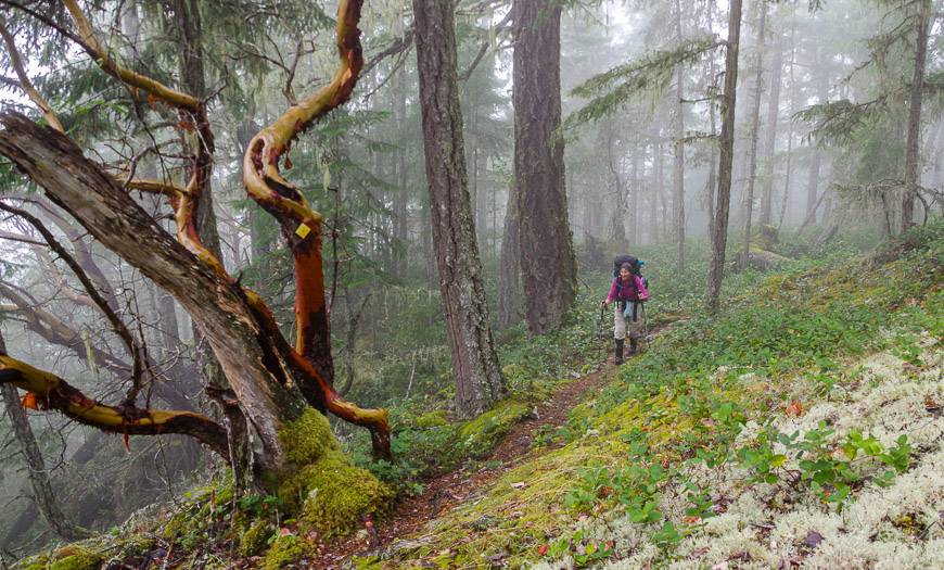
We met both a solo female and a solo male on the Sunshine Coast Trail. You should be a very competent hiker – who doesn’t scare easily to do this on your own. Considering the ruggedness of the terrain, I wouldn’t really recommend it – but it’s regularly done. You’ll have to make that call.
My hat goes off to Eagle and all the volunteers that have made the Sunshine Coast Trail such a success. You really get into the groove and the rhythm of the trail if you hike it for three or more days. I highly recommend it!
Sunshine Coast Trail description
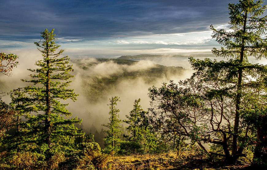
I have not hiked the entire Sunshine Coast Trail, But I have spent a week hiking the best parts of the trail.
There is always something special when you have completed the whole trail – but I am also loathe to hike for days through forest with nary a view. I feel like my week on the Sunshine Coast Trail covered the main highlights – other than a climb to the top of Tin Hat Mountain.
But I was able to visit Tin Hat Hut while canoeing the Powell Forest Canoe Route.
Mount Troubridge to Saltery Bay hike
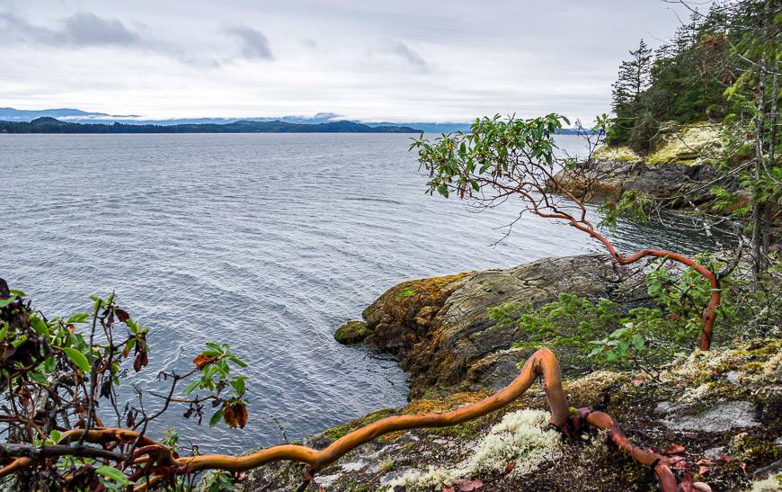
We got a shuttle to the Branch 41 Road and ended at Saltery Bay three days and 26.5 km later.
There is a detailed day to day description on the Mt. Troubridge to Saltery Bay blog.
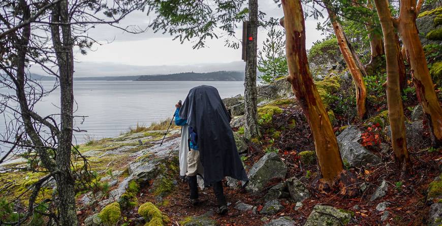
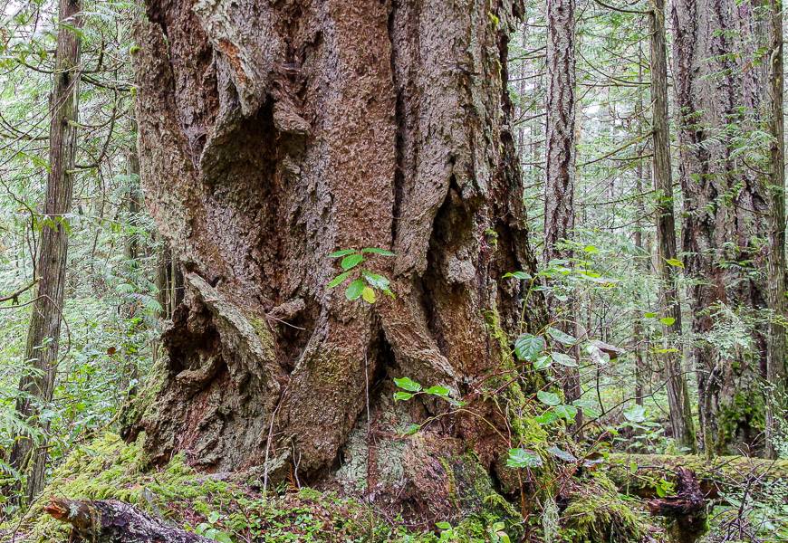
The bottom line is that there is some truly exceptional hiking in old-growth forest with massive trees and a lovely coastal section dotted with arbutus trees. Both huts on this section were great – and we only saw one other person.
Sarah Point to Powell River hike on the Sunshine Coast Trail
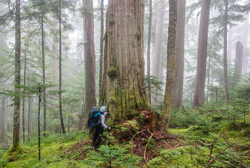
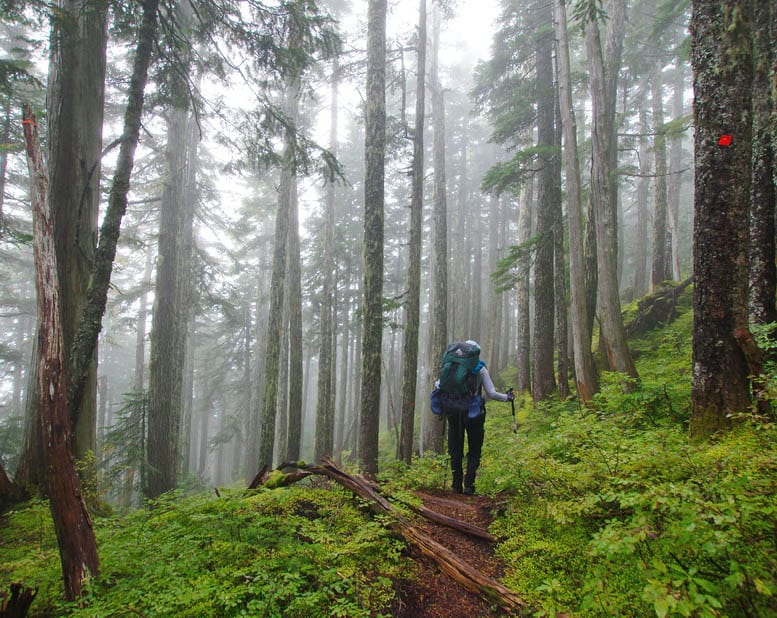
The first day of hiking on the Sarah Point to Powell River section of the Sunshine Coast Trail was hard but very beautiful.
There were glorious big trees, freshwater lakes, far reaching views to Savary Island and Manzanita Hut – with its fantastic location. But you had to lug all your water to the hut for the night so that made the 16+ kilometres a little tougher.
The rest of the four day, 42 km hike was interesting, especially on the way to Rieveley Pond Hut but overall I preferred the Mount Troubridge section we did.
I think great swaths of forest hiking are appreciated by people who are new to the eco-system and don’t mind walking without views. I prefer open forest and lots of views. Still it’s a worthwhile section of the Sunshine Coast Trail to hike.

Where to stay in Powell River before or after your hike
There are lots of great accommodation options before of after hiking the Sunshine Coast Trail from guest houses, to cottages, lodges, and studios in Powell River.
The Old Courthouse Inn used to be the police headquarters and a jail. It’s pet friendly and you can do your laundry here.
Beyond Bliss Suites & Spa comes with a well equipped kitchen.
Island View Lodge – rated very good, would be another option.
Further reading on hiking in British Columbia
- 10 of the Best Yoho National Park Hikes
- 5 Awesome Hikes With a View Near Penticton
- Juan de Fuca Trail: What You Need to Know
- 21 of the Best Hikes in BC to Add to Your Bucket List
- The Rainbow Range Trail, Tweedsmuir Provincial Park
Click on the photo to bookmark to your Pinterest boards.
Hey – am organizing a trip for October. It is a very experienced bunch so I don’t think the cold will be a deterrent. Rain would be a downer though. Maybe last week in September would be better.
@Jane I did the Sunshine Coast trip in late September and mostly had good weather. It was chilly in the AM but once we got going, it was fine. But in BC you could just as easily have terrible weather the last week of September as you could the first week of October. Either way, you won’t run into many people.
There will be lots of snow on the higher parts of the trail now. We have had a lot of snow fall in the mountains here this winter.
@Gary It will probably be a slow spring for hiking then. Thanks for stopping by.
Hi Leigh! Great blog! Do you recommend taking a taxi from Lang Bay to Inland Lake as the starting point? There’s only four of us. Thank you!
@Natalie We did the shuttle with Jessie and that worked well. His link is in the post.
For the wolves howling, it was probably common loon calling instead, pretty similar I reckon
@Paul I have grown up listening to loons so I still want to go with wolves. I have heard them howling in the wild but who knows which one of us is right at this point. Thanks for weighing in.
There are wolfs up here in Powell River and what she heard could have been them howling. I live up here and have heard them often.
No offence to your finding, but down bags are plenty effective on this trail. Keep care of your stuff, use garbage bags wisely, and you’ll have a much better time with the weight and warmth of down. Also, definitely would NOT reccomend waterproof shoes. Once they are wet, they will stay wet. They will put your toes at risk. Light fast drying mesh hiking shoes is the way to go.
Hi Leigh,
May I ask permission to use some of the photos from your website on my (commercial) site? I would be happy to give you credit for any that I use.
Thanks,
Steve
Hi Steve,
You can use them if you credit HikeBikeTravel.com. Thanks for asking.
Leigh
This is great info, thank you!
I’m wondering-did any of the huts have outlets to charge a phone (camera!) or should I bring a couple battery packs? Thank you
@Crystal Bring battery packs- no outlets.
Hello
We are visiting BC in August and we would love to hike up to the tin Hat Hut just as a day trip. I am just wondering the best way to get there? There appears to be roads to the area (Dixon Road- to Lewis Lake) but I have read in other posts on other websites that these are logging roads and can only be used on weekends. Is this correct?
@Brenda A lot of people take a boat ride to Fiddlehead Landing and go in from there. It would be more scenic. I’m actually not sure if the logging roads are closed on weekdays. But I do know that logging trucks barrel through and it’s not a lot of fun when you’re on high alert. Look into a boat shuttle. A lot more fun.
Hello!
I had been planning out the 180km trip last summer while in Thailand to do when I got back. I think that was a bit ambitious as I just wanted to relax when I returned to Canada. So I’m planning for the next couple months. Do you think the trail would be alright to do in mid April?
Thanks!
@Emm If it hasn’t been a snowy winter it should be alright but you may want to check in with the Sunshine Coast website and see of you can get real time on-the-ground information. Sunshine Coast Tourism might also have that info.
Hi
Great article I will be leading our hiking club there next June for 4 days (day hikes) for different levels, wondering if u could email me, and I could ask you few things, thanks
Mary
mhof126@gmail.com
Adding this to my “must do” list along with all the others I am reading about in “Discover Canada.” Thanks for all the detail and “how to” information!
@Mandy Definitely one that should be added though by no means do you have to do the whole thing to enjoy it.
To clarify, when the author of this article claims to have wifi they really mean cell service. There is no wifi along the SCT unless you are within the city of Powell River. Also if I could add one more very important tip.. It would be to check the SCT Facebook/website and Tla’amin, PRCF, WFP websites for updated trail section closures or re-routes. Extensive sections of this trail pass through working forests and are sometimes constrained.
@George You’re right about cell service versus WiFi. That’s been corrected. And that’s a good point about checking the website and SCT website. I did provide a link to the SCT site on all blogs I’ve written.
Excellent post! I did the entire SCT back in June of this year. One thing I would add as far as food availability along the trail is the worthwhile option of hiking out via Dixon Road (roughly 45 min each way) to the LangBay store at Dixon and the Hwy. Fresh deli sandwiches and basic groceries there make a good resupply if needed for the remaining 45 kms.
@Tim That’s a great piece of advice and much appreciated.
When I did the SCT we took the water taxi from Campbell River ( I live in Campbell River) directly to Sarah point, the taxi cost was less than from Lund and no ferry fare.
@Rick That’s really great information. Thank you.
How did you get back to Campbell River afterwards? I also may have the Campbell River option, but am wondering how easy it would be to get back from Saltery Bay. Thanks!
@Natalie I actually got back to Powell River via a shuttle (and then onto Vancouver Airport) but you could take the ferry from Powell River to Comox and then bus up from there.