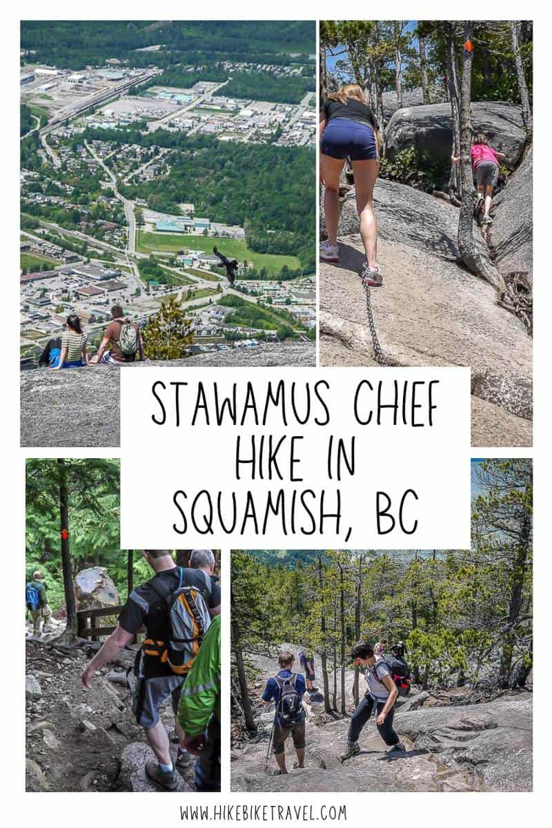
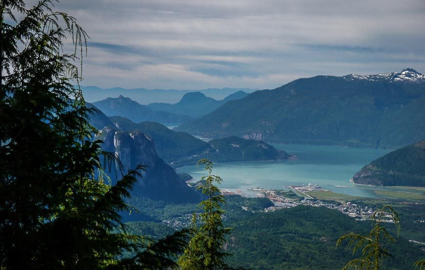
Stawamus Chief is an impressive piece of rock. It rises 541 metres (1,774 feet) above the Howe Sound waters and stands like a sentinel above the town of Squamish. It’s the second largest hunk of granite in the world, with the largest being the Rock of Gibraltar off the coast of Spain.
Hiking Stawamus Chief is one of the best way to experience this massive rock – and it’s far easier than it looks from the ground. Although it’s a grunt to get to the top, it’s always worth it for the far-reaching views. It’s also one of the most popular hikes for the Vancouver crowd.
This post includes some affiliate links. If you make a qualifying purchase through one of these links, I will receive a small percentage of the sale at no extra cost to you. Thank you very much for your support.
Stawamus Chief information
The Indigenous Peoples from Squamish consider the mountain to be a place of spiritual significance. In the Squamish language the mountain is named Siám’ Smánit, with Siám‘ most often translated as “chief” though it reportedly refers to a social ranking.
How to get to the trailhead in Squamish
To reach the Stawamus Chief trailhead take Highway 99 north from Vancouver. Signs point you to the turnoff which is 1.3 km north of Shannon Falls and 1.5 km south of Squamish.
Turn right onto a smaller road and park in one of the parking lots – for free. Parking in the larger climbers parking lot is also possible if you make a left turn just as you come off the highway.
As of 2023, you no longer need a free day pass to hike the backside of Stawamus Chief. But the parking lot fills quickly, so get there early in the day.
Stawamus Chief hike summary
Distance: Peak 1 – 3 km return, Peak 2 – 4 km return, Peak 3 – 4 km return
Elevation gain: Peak 1 – 535 m or 1,755 feet, Peak 2 – 580 m 0r 1,903 feet and Peak 3 – 702 m or 1,975 feet
Time needed: 2 – 3 hours for Peak 1; 3- 5 hours for the other peaks.
Best time to hike Stawamus Chief: Late March until late October.
Dogs allowed: Yes, on a leash.
First Peak on Stawamus Chief hike description
When you look up at Stawamus Chief it’s hard to imagine that it’s accessible to hikers…but it most definitely is via a trail that climbs the back side of the hunk of rock.
There are three peaks that make up Stawamus Chief – each one shaped like granite domes. The easiest and most popular peak to climb is First Peak (the south peak) at 610 metres. The centre peak called the Second Peak (655 metres) is a little harder and the Third Peak at 702 metres is the northernmost of the peaks.
They can be climbed individually or you can knock off a combination of two peaks or all three peaks. The main trail to get to the peaks is called the Chief Backside trail.
It’s 1.3 km one way to First Peak with an elevation gain of 535 metres. The trail is VERY busy to First Peak on weekends, especially in the summer. The other two peaks see a fraction of the traffic.
Avoid climbing the upper exposed granite rock on any of the peaks under wet conditions. It can become slippery and treacherous. Dogs are allowed on a leash.
Be prepared for a steep hike on Stawamus Chief
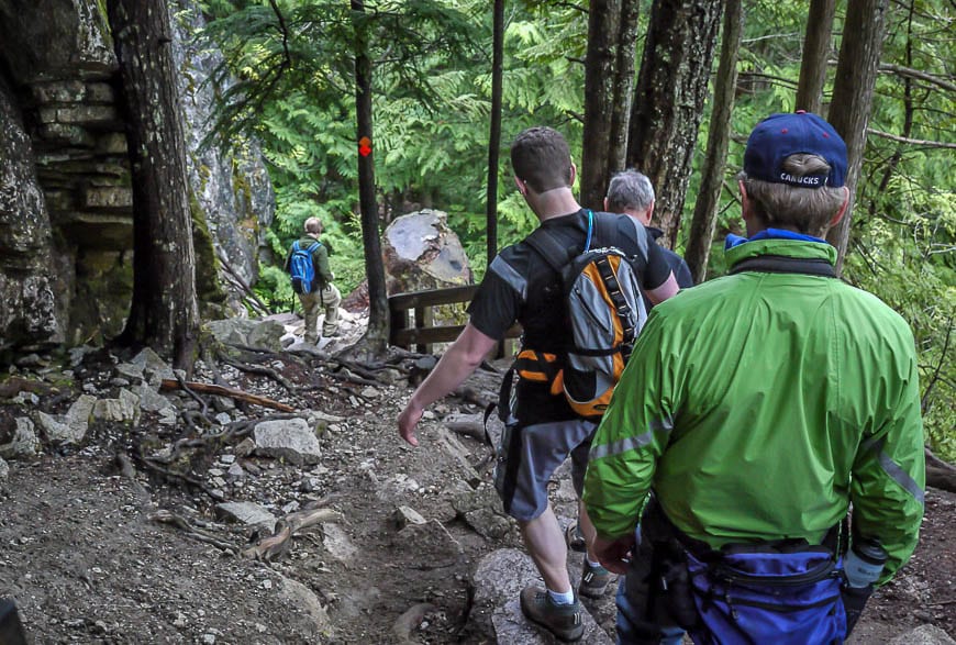
The trail begins steeply by way of a series of wooden stairs. A lovely stream beckons alongside this section. After the stairs climb on an obvious trail over roots and rocks through what is called South Gully.
Keep close to the steep granite wall as you make your way up. Stay left at all intersections to reach First Peak on Stawamus Chief. The other trails lead to Second and Third Peak and they are longer and harder hikes.
At about the halfway point on the hike up First Peak there is an obvious rock bluff which affords excellent views. From there continue hiking. Climb one small ladder (it can get backed up here) and five minutes later reach the open section of granite rock.
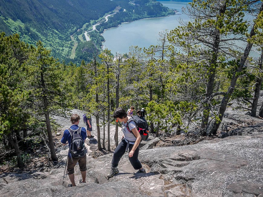
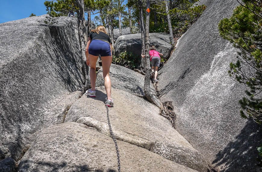
From the open area there is scrambling to do – aided with chains and a small ladder. Some people have a tough time through this section but the rock has excellent traction under dry conditions.
Follow red paint marks (hard to see at times) all the way to the top. It’s a rush up at the top of Stawamus Chief looking down over the edge. Do be careful on top of the peak. It would be an awful fall. Don’t throw anything over the edge as climbers may be below.
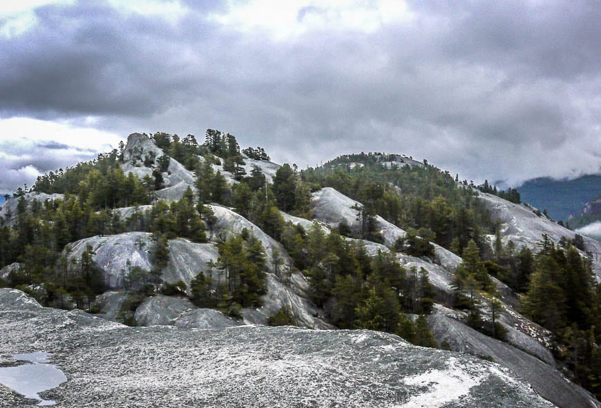
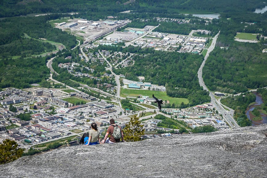
Enjoy views of the Tantalus Range and the Sea to Sky Highway. The views are truly breathtaking. Going down is tough. Exercise caution especially around tree roots and boulders. You need two to three hours to hike up and down the First Peak on Stawamus Chief.
The hiking season generally lasts from March until September or early October.
Stawamus Chief Campground
There are 52 campsites accessible by vehicle available between mid-April and mid-October. There are an additional 57 walk-in campsites in the forest, only five minutes away from the start of the hike. None of the campsites are reservable. For more information visit the BC Parks website. Picnic tables, pit toilets, and drinking water is provided.
Where to stay in Squamish
TheSquamish Adventure Hotelis a good choice if you’re after hostel type accommodation close to some of the best activities in town.
TheHowe Sound Inn & Brewing Companyis on the site of the brewery – so it’s easy to walk over for a beer and pub view. It’s only a 7-minute drive from the Stawamus Chief trailhead.
TheSunwolf Riverside Cabinsin nearby Brackendale would be an excellent choice if you’re traveling with pets and you like to be surrounded by nature.
Further reading on things to do in the Vancouver – Whistler corridor
- 12 Great Things to Do in North Vancouver, BC
- Hiking to Garibaldi Lake, British Columbia
- Stops to Make on the Sea to Sky Highway in BC
- A Hike to the Black Tusk in Garibaldi Provincial Park
- A Day Trip to Bowen Island from Vancouver
Click on the photo to bookmark to your Pinterest boards.
