Tent Ridge Hike in Kananaskis, Alberta
For over 10 years the Tent Ridge horseshoe hike had been on my hiking wish list. Every year it seemed there was something preventing me from going – smoke, rain, lack of time – all excuses of course. Finally, during the third week of September in 2024, John and I got it together and hiked the ridge just as the larches were turning yellow.
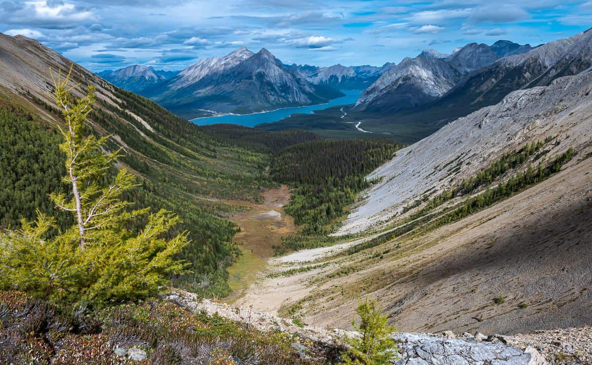
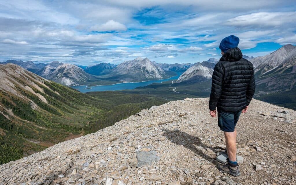
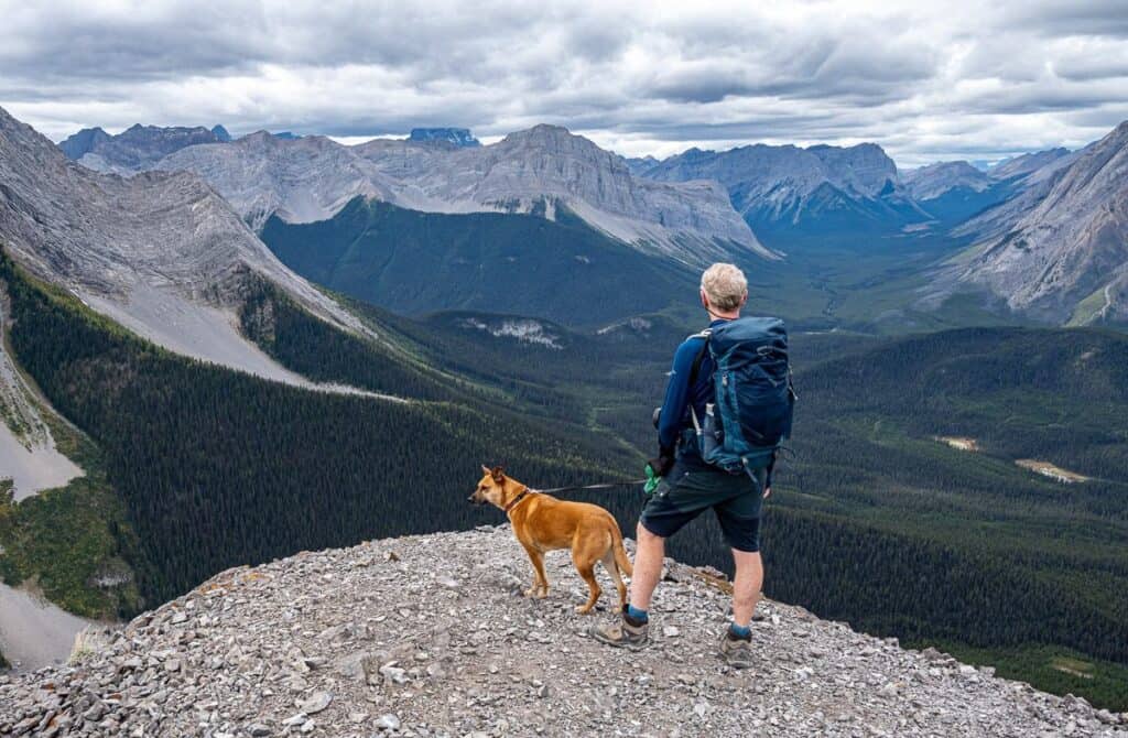
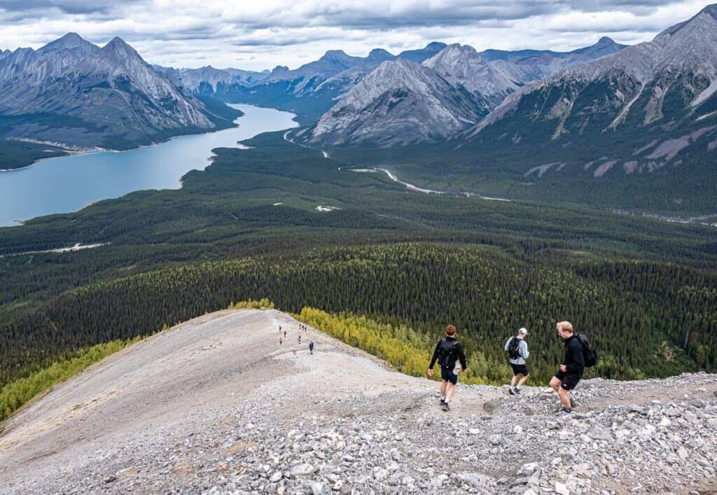
The Tent Ridge horseshoe hike is one of Kananaskis Country’s most impressive alpine hikes. It isn’t for beginners or for anyone who hates exposure. What it offers is 360-degree views of the Spray Lakes Reservoir, an in-your-face view of Mt. Smuts, a view south along the Smith Dorrien Trail of Chester Lake, Mt. Chester, and Mt. Birdwood. I’d rate it as one of the best hikes in Kananaskis.
This post includes some affiliate links. If you make a qualifying purchase through one of these links, I will receive a small percentage of the sale at no extra cost to you. Thank you very much for your support.
Would you like to save this?
Why hike the Tent Ridge Horseshoe
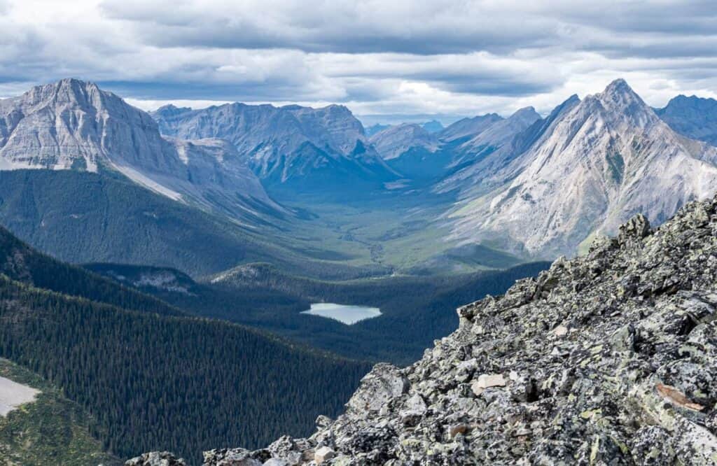
There is one main reason to do the Tent Ridge horseshoe hike – superlative mountain views for kilometres on end above treeline.
There is also a sense of satisfaction when you complete a hike that’s at the top end of your comfort zone. And nothing beats trail camaraderie. We met all sorts of great people over the course of the day.
Tent Ridge Horseshoe hike summary
Distance: 10.6 km loop best done in a clockwise direction.
Elevation gain: 780 m or 2,560 feet.
Time needed: 5 – 6 hours
Level of difficulty: Difficult because of light scrambling. There is exposure on the Tent Ridge horseshoe hike.
Permit: You will need a Kananaskis Conservation Pass. You can purchase online or at the Barrier Lake Info Centre or the Canmore Nordic Centre for the day ($15) or for the year ($90.)
Don’t forget: Pack the 10 hiking essentials and practice the seven Leave No Trace principles.
Map: Gem Trek Kananaskis Lakes. I like Organic Maps, a free offline hiking app.
Where is the Tent Ridge hike trailhead?
Mount Shark Road is reached from both Canmore and Highway 40. They are almost equidistant.
From Canmore
Zero your odometer at the Canmore Nordic Centre on Highway 742. Drive for 35 km on a dusty gravel road to a turnoff signed for Mount Engadine Lodge and Mt. Shark.
From Highway 40
If you’re coming from the Highway 40-Kananaskis Lakes Trail intersection, reset your odometer to zero as you turn onto Kananaskis Lakes Trail. Turn right onto Highway 742 at the 2.2 km mark and left onto Mount Shark Road at 28.6 km.
From either direction
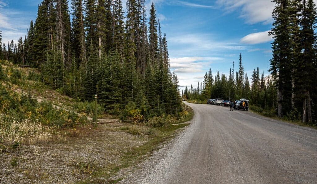
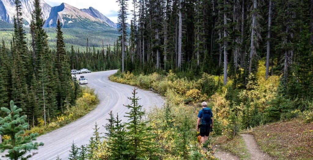
We drove 1.5 km along Mount Shark Road from the Smith Dorrien Trail to the pullover seen in the photo below. The trailhead to do the loop in a clockwise direction is on the left-hand side of the road, just 10 seconds walk from the parking area. If you want to hike counterclockwise (and almost no one does), you’ll find the other trailhead a few hundred metres up on the left with another pullover for vehicles.
Best time to hike Tent Ridge
Plan to hike Tent Ridge from June to October. Snow can linger on the ridge until late spring, so early season hikes can be risky. Summer is wonderful, but check the weather forecast, as the ridge is no place to be in a thunderstorm. Fall is lovely with golden larches making an appearance around mid-September.
Tent Ridge Trail description
Start: Forest Section
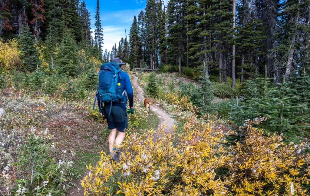
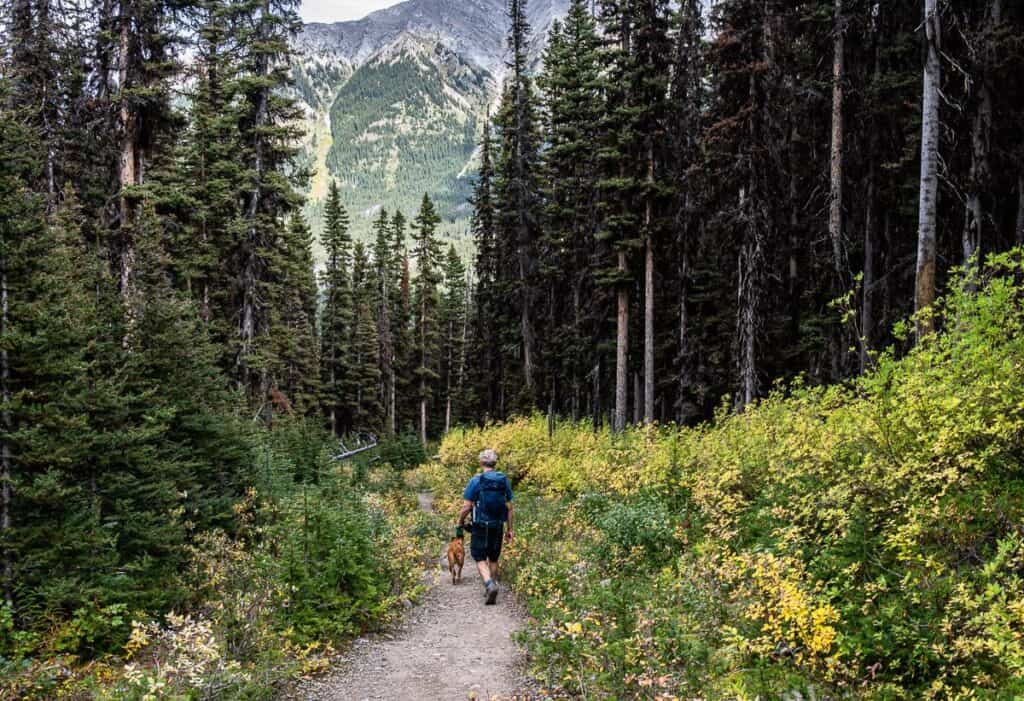
Take the signed trail into the forest starting from the woods. (See the third picture up.) Switchback up through the trees steadily for about 45 minutes. The hike is surprisingly pleasant – especially in fall because the understory is a riot of colour.
Sub-Alpine Meadows
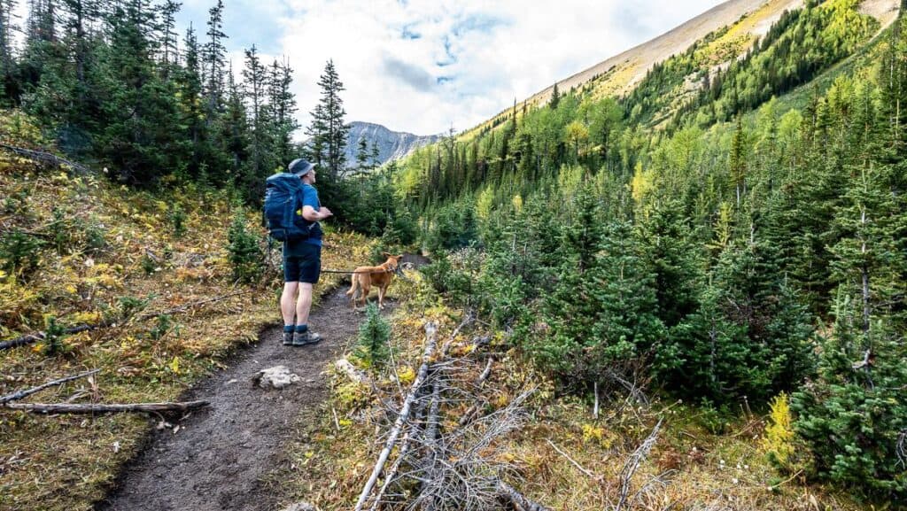
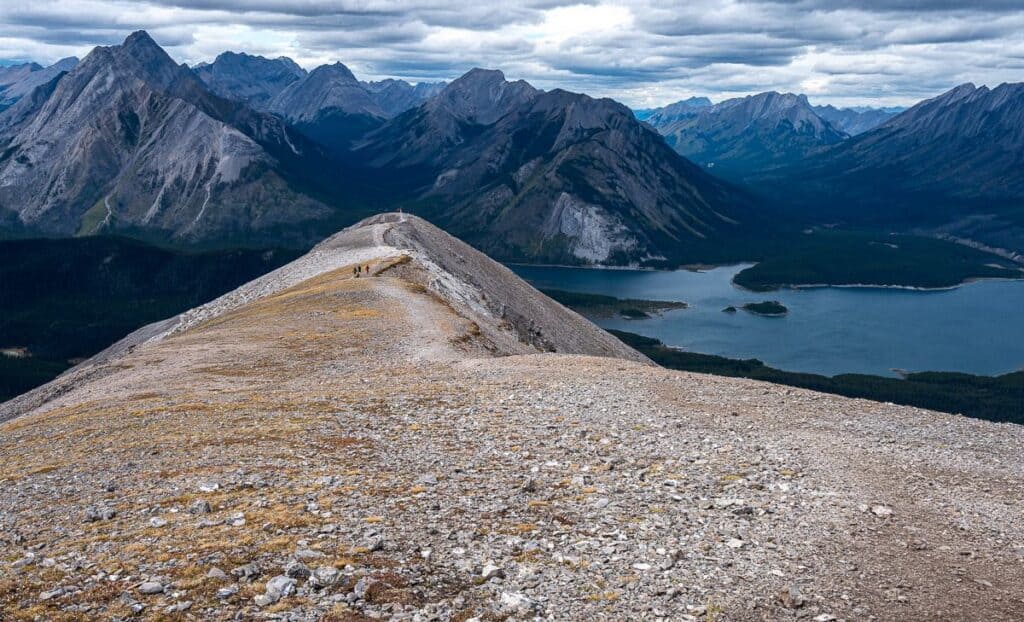
Enter the open meadow of Tent Ridge Basin as you emerge from the forest. From here you can see the horseshoe wrapping around. You’ll hike the Tent Ridge horseshoe from left to right as you face it.
Turn left and hike up through another short section of forest. Ten minutes later the trail curves to the right and you’ll see the east arm of Tent Ridge straight ahead.

East arm to west arm of the Tent Ridge horseshoe hike
The next few hours are the most exciting part of the hike! Not all of you will love it, but you will feel a sense of accomplishment with each arm of the Tent Ridge hike knocked off.
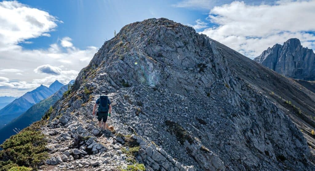
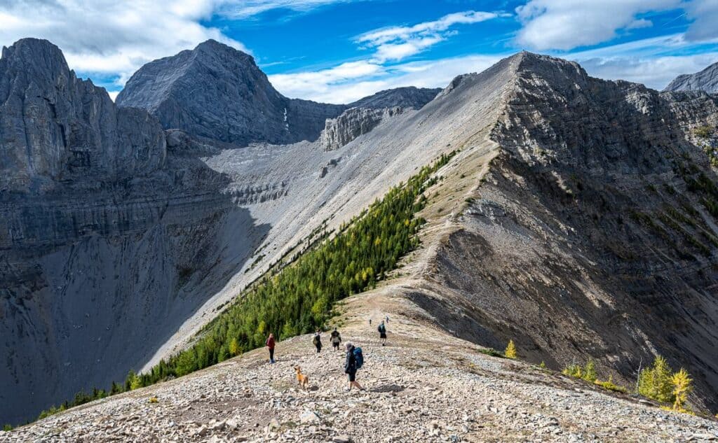
Head up the ridge. The grade steepens almost immediately, and it becomes more scramble than hike for roughly 30 minutes as you must frequently search for handholds. They’re solid – as is the footing. There is one airy section as you head up a steep face, which isn’t difficult, unless you have a dog that you don’t want to send hurtling into space. That was my biggest issue.
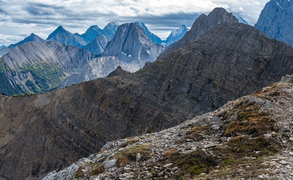
Reach the east arm summit where there’s a building with weather recording equipment. Enjoy fine views across to Mt. Smuts, The Fist, and Tryst Lake before you descend on scree to a saddle. From the saddle climb up to the summit of the west arm, topping out at the highpoint of the Tent Ridge hike at 2,540 m.
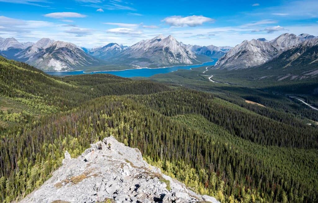
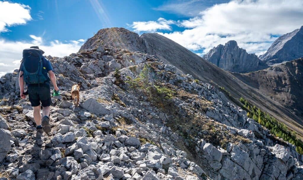
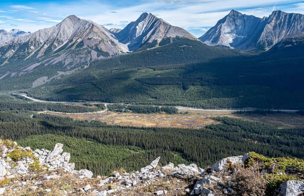
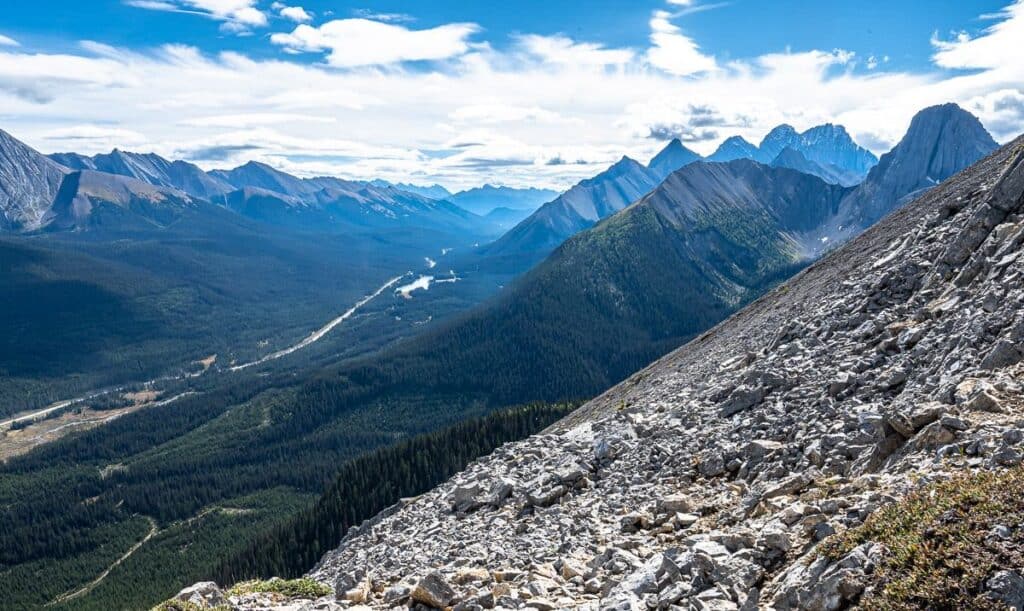


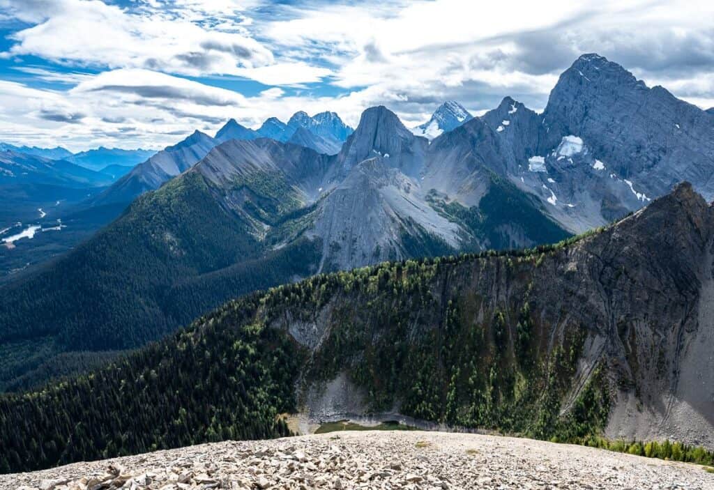
Descent from the summit of the west arm down
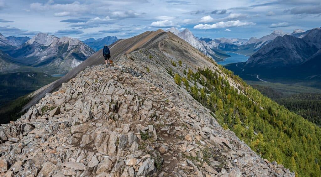
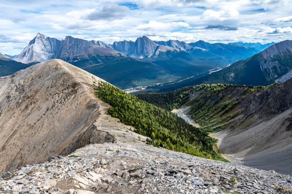
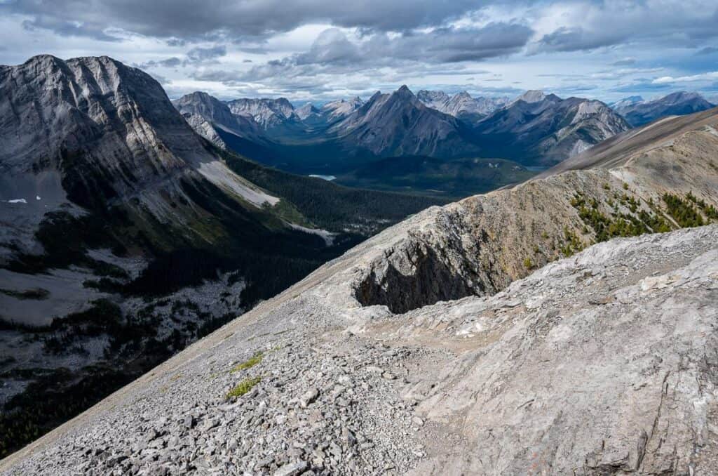
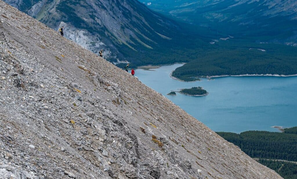
From the summit of the west arm scramble along the top for a few minutes and then begin the gradual descent by skirting the cliff on the trail pictured below. After you round the corner, the hiking gets easier, even with an easy ascent of a bump along the ridge.
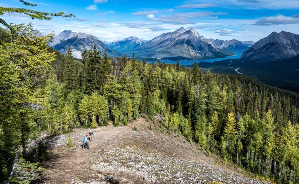
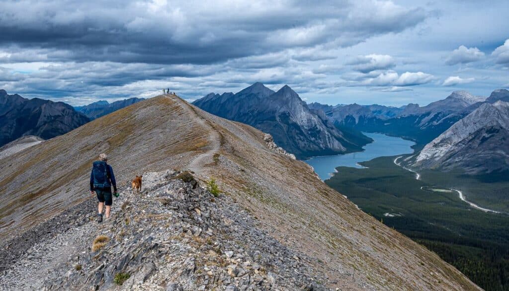
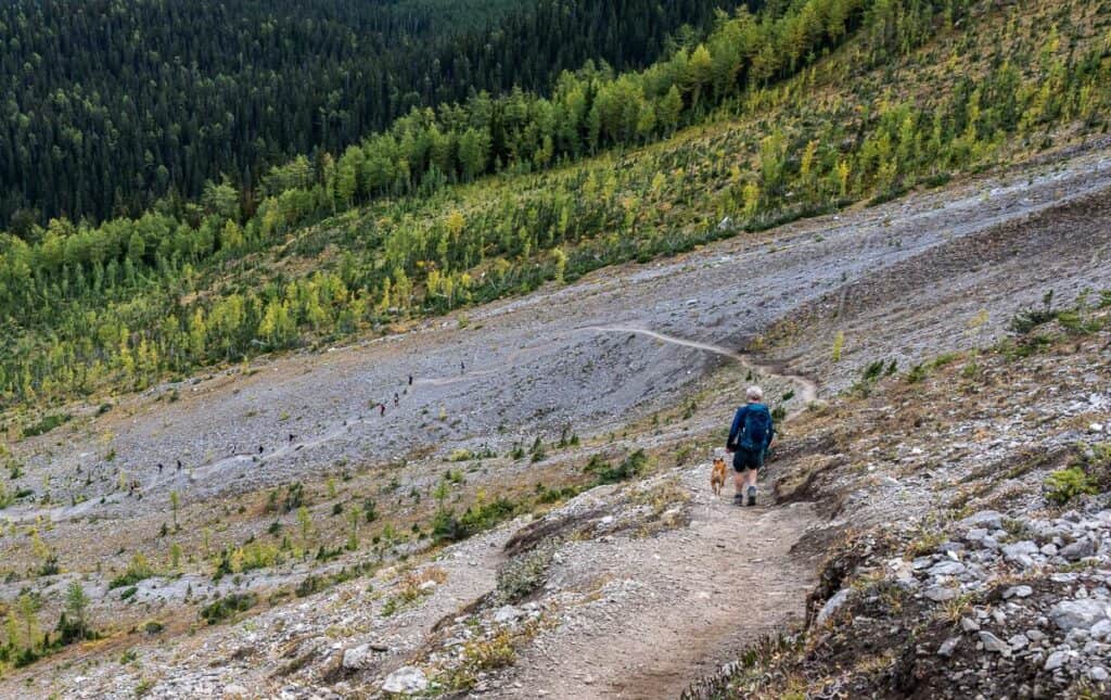
Enjoy relaxed hiking to the end of the west arm. Angle right and descend steeply on scree to an obvious trail that heads south and then back to the north. Continue as it heads into a stunted forest and across a bare slope. Drop down into a gully filled with larch trees – always staying on the main trail. Continue the descent all the way to the trailhead at Mt. Shark Road.
Turn right on Mt. Shark Road and walk a few hundred metres to your car. It will probably take you five to six hours to complete the loop.
What to bring on the Tent Ridge hike
Like any hike, you should always pack the 10 essentials. But on this mountain hike I would also encourage you to wear hiking boots with a good grip and take layers in case the weather changes.
Carry at least two litres of water especially on warm summer days as there is nowhere to refill your water bottle.
Hiking poles are very helpful on the final steep descent.
Wildlife and safety tips
Bears: This area is home to grizzly and black bears. Carry easy to access bear spray and hike in groups. Make noise too – appreciating that bear bells don’t really cut it.
Weather: Storms roll in quickly in the mountains. Check the weather forecast and avoid Tent Ridge if there’s a chance of lightning.
Exposure: Some sections are narrow and exposed. Take your time and use caution.
Safety gear: I’d recommend carrying the Garmin InReach Mini 2 in case you have a real emergency and need help.

Nearby hiking adventures
- Chester Lake Hike – A family-friendly hike nearby with gorgeous alpine lakes
- Burstall Pass Hike – Another first-rate hike offering distant views of the Robertson Glacier.
- Headwall Lakes Hike – Shares the same parking lot as Chester Lake but a quieter more austere hike
- Sparrowhawk Tarns Hike Near Canmore – A beautiful less visited area with several tarns.
- Windtower Hike in Spray Lakes Provincial Park – Knock of the West Wind Pass hike on the way up Windtower where you’re treated to astounding views of the Spray Lakes, Canmore, and the Bow Valley.

FAQ’s
Is this hike suitable for beginners?
I would not recommend the Tent Ridge alpine hike to beginners. It’s got some tricky scrambling sections and airy drop offs that most new hikers won’t like.
Are dogs permitted on the Tent Ridge Horseshoe hike?
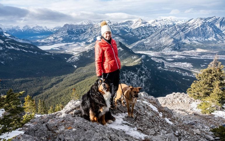
Dogs are permitted on the Tent Ridge trail, but very large dogs might have trouble with some of the steeper scrambling sections. We did bring our dog, and I felt that the east arm of the hike was the toughest for her especially as we had to help lift her up in one place.
Is camping allowed?
There is no camping permitted on the approach to Tent Ridge or on the ridge itself. The closest campground is the Spray Lakes West Campground. For more information read my complete guide to camping in Kanananaskis.
Where can I stay before or after the hike?
Mount Engadine Lodge is the closest place to the Tent Ridge trailhead. I have loved our stays here – whether in a cabin or glamping tent, but they do come at a price. The price does however include three meals and a mid-afternoon charcuterie board.
Kananaskis Mountain Lodge is a good choice as is Kananaskis Wilderness Hostel – a much less expensive option.
In Canmore A Bear and Bison Country Inn is an excellent choice if you’re a fan of B&B’s. If you prefer hotels, the Malcolm Hotel with its large outdoor pool is excellent.
How far above sea level is Tent Ridge?
The east arm summit of Tent Ridge is 2,480 m or 8,136 feet. The west arm summit is 2,540 m or 8,333 feet above sea level.
Does the Tent Ridge hike have larches?
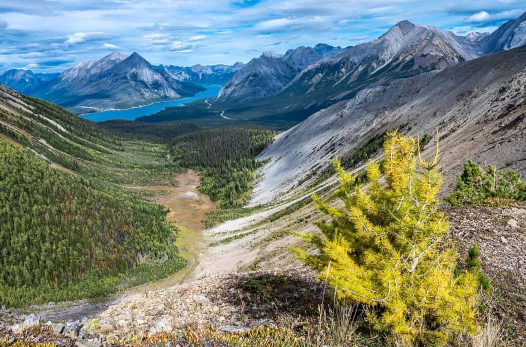
There are lots of larches at lower elevation which you’ll see on the ascent and descent of the ridge. When the larches are at their peak – about the third week of September – you’ll see swaths of yellow from the top.
Tent Ridge doesn’t rank as one of the top larch hikes in Alberta, but they sure add to the beauty of the area over the last two weeks of September.

Final thoughts
Add the Tent Ridge horseshoe hike to your bucket list of must-do day hikes in Alberta. It’s an exciting hike that will be a test for many – but also a great adventure. Pick the right day with a clear forecast, include warm clothes and rain gear, leave a trip plan, and prepare for a day of astonishing mountain scenery.
Are you ready to tackle the Tent Ridge Horseshoe hike? Share this guide and inspire others to explore Kananaskis Country!
Click on the photo to bookmark to your Pinterest boards.

