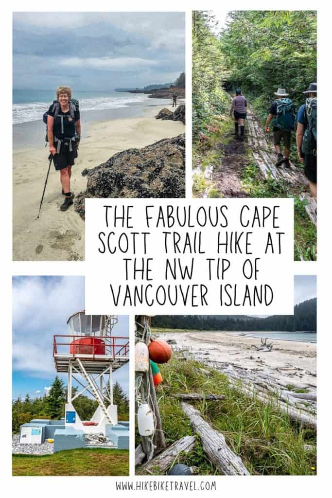
Cape Scott Trail – A Muddy Adventure Worth Every Step
The 45 km out and back hike to the Cape Scott Lighthouse at the north-western tip of Vancouver Island via the Cape Scott Trail isn’t difficult per se – at least when it’s dry. But this part of the world is well-known for its multi-day torrential downpours. All that rain and mud significantly raises the difficulty of this hike.
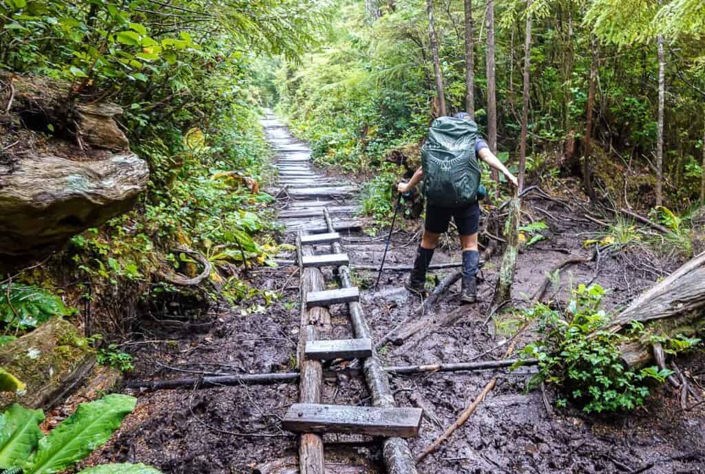
You won’t find mountains, cable cars or slippery ladders on the Cape Scott Trail. Instead, look for massive fallen trees especially after a windstorm, human-eating mud pools, and slimy boardwalk.
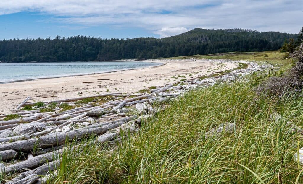
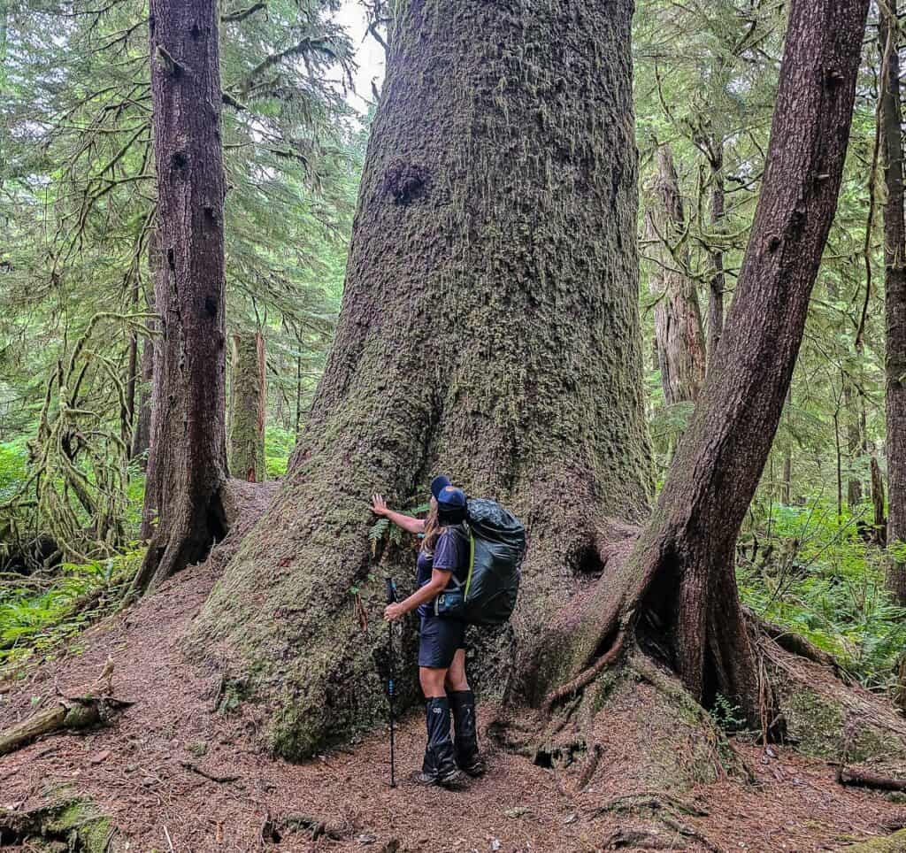
The rewards, though, are exceptional. Sweeping beaches at both Nels Bight and Nissen Bight are magnificent as are the stunning Pacific Ocean views offered from every beach campsite. Military roads dating back to WW2, Hansen Meadows in the middle of a rainforest, and lofty trees that will stop you dead in your tracks are all highlights. The end point – a storm-battered lighthouse with two lighthouse keepers that have been there for more than 20 years might be underwhelming (as it’s inland), but what the lighthouse has seen is anything but.
You might also like: Where to Find Big Trees on Vancouver Island
This post includes some affiliate links. If you make a qualifying purchase through one of these links, I will receive a small percentage of the sale at no extra cost to you. Thank you very much for your support.
Would you like to save this?
Cape Scott Trail summary
Location: Northwest Vancouver Island in Cape Scott Provincial Park. The park is open year-round though it’s famous for its relentless rain and storms in winter.
Distance: 45.2 km as a strict out and back hike from the parking lot. We did it as an add on from the end of the North Coast Trail. If you camp at Nels Bight, it’s 13.6 km to and from the Cape Scott Lighthouse.
Elevation gain: Approximately 100 metres.
Difficulty: Moderate on account of its length and frequent slippery and muddy sections.
Time needed: Two to four days.
Dogs: Not permitted because of the high wolf concentration.
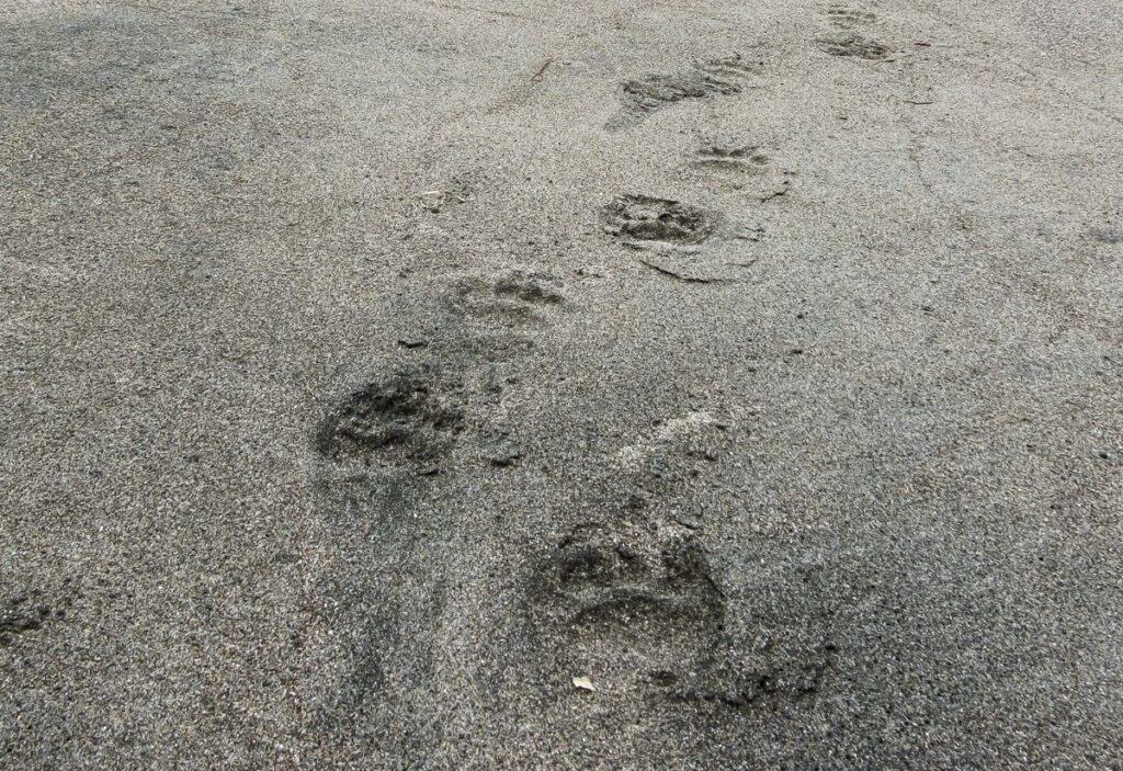
Wildlife: Don’t forget easy to access bear spray as there is a high chance you’ll see one or more. If you’re lucky you’ll see a wolf though you’re more likely to see their tracks. Cougars are also sighted on occasion. Know what to do if you meet a bear or a wolf.
Cell service: None.
Maps for Cape Scott: Try Organic Maps – an offline hiking app. For paper maps buy the North Coast Trail map by John Baldwin. The North Coast Trail waterproof map would also be useful.
Fires: Check for fire bans before you go. Fires, if allowed, should be made below the high tide line or in metal rings.
Leave No Trace: Familiarize yourself with the seven Leave No Trace principles. Everyone wants to enjoy a pristine environment while hiking and camping along the Cape Scott Trail.
Know before you go: Visit Destination BC’s Know Before You Go page. With conditions changing rapidly, it also pays to check out Drive BC, BC Wildfire Service, and Emergency Info BC. It would be a good idea to download and allow notifications from Alertable, an app which delivers geographically relevant updates. Hello BC also offers lots of useful planning information for visiting the province.
More Vancouver Island North information: Visit the Vancouver Island North website.
Camping permits and reservations
Good news! You don’t need to make campsite reservations. All campsites are first come, first served.
However, you will need a backcountry camping permit from BC Parks. (Click on Backcountry and then Backcountry Registration.) You can register and pay online before you show up at the Cape Scott trailhead.
Be sure to carry printed copies in case your phone doesn’t work. The cost is $10 per person per night. At the Cape Scott trailhead you can also purchase permits – with cash only.
Best time to hike the Cape Scott Trail
The best months to hike the Cape Scott Trail are June to September. Weather is predictably unpredictable on northern Vancouver Island, so you need to be prepared for sudden weather changes especially related to hard rain and thick fog. If you get a sunny day, count your blessings.
In summer the fog can roll in and drop the temperatures. During the winter months you can experience hypothermia-type weather with all the rain and wind and temperatures are lower too.
Check the weather forecast in Cape Scott Park – and use it as a guideline.
Getting to and from the Cape Scott trailhead
There are two ways to get to the Cape Scott Trailhead, also known as the San Josef River Trailhead. Drive or take a van shuttle from Port Hardy with Cape Scott Water Taxi. Most people elect to drive but be warned that the active logging road to Cape Scott Provincial Park can be a rough and muddy one. It’s not a road for an RV, campervan, or rental vehicle.
With the IslandLink Bus Service you can get from Victoria, Nanaimo, and Campbell River to Port Hardy – where you can then catch a shuttle to the trailhead. It’s one of the few backpacking trips I know of where you can do this.
Campbell River to Port Hardy
From Campbell River, drive 225 km north towards Port Hardy on Highway 19. Allow around 2.5 hours to reach the Holberg Road turnoff. There aren’t a lot of passing lanes and it’s easy to get stuck behind slow moving vehicles.
To Holberg
Just before you reach Port Hardy, turn left onto Holberg Road. It’s a logging road that’s accessible to 2WD cars – but go easy and watch for logging trucks. ALWAYS yield to a logging truck – as they have the right of way, and they are way bigger than you are. (I was reminded of that while biking the Columbia and Western Rail Trail in the Kootenays!)
From the turnoff to Port Hardy, it’s 46.6 km to reach the community of Holberg, a logging camp and former Canadian Forces Station base. It will take you about an hour to get here. If you’ve forgotten fuel or food, visit the Holberg Pitstop. It’s also got an onsite liquor store.
To Cape Scott Provincial Park and the trailhead
Continue through Holberg and pick up the San Josef Main Forest Service Road. Look for signage directing you to Cape Scott Provincial Park – a further 19 km away. There is a large gravel parking lot and a well-signed trailhead for the San Josef Bay hike and the Cape Scott Trail near the shelter. Allow at least two hours to get here from Port Hardy.
Allow a minimum of six hours of if driving from Departure Bay, or eight from Victoria to the Cape Scott trailhead.
Cape Scott Trail description
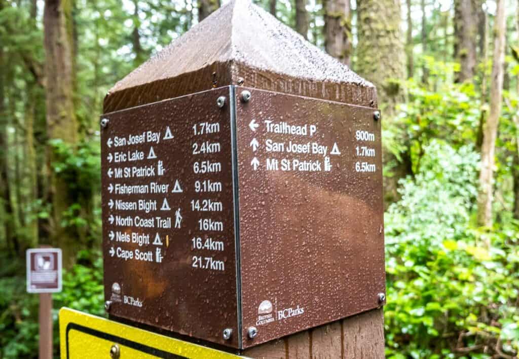
The hike to the Cape Scott Lighthouse doesn’t require any route finding. There is plenty of signage at key intersections along the trail.
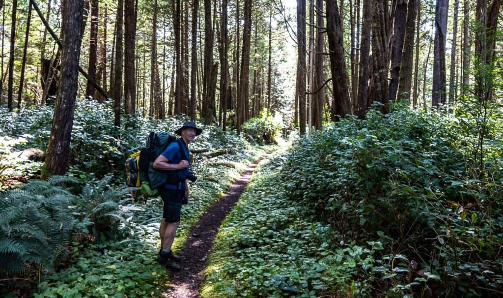
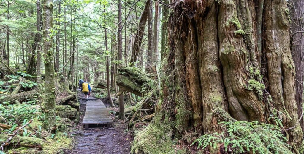
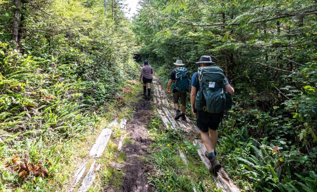
Enjoy the flat, smooth-like-butter trail underfoot for the first kilometre because once you reach the T-intersection and turn right, it’s going to get a whole lot muddier and rougher very quickly. Continue through mud pools and over slippery logs on a route used by Danish settlers in the early 1900’s.
You can make a short detour to a viewpoint over Eric Lake near the 2 km mark. Otherwise go right at the intersection and enjoy a section of beautiful old-growth forest on route to the Eric Lake Campground at 3.0 km.
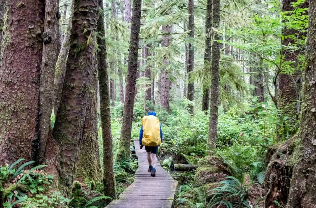
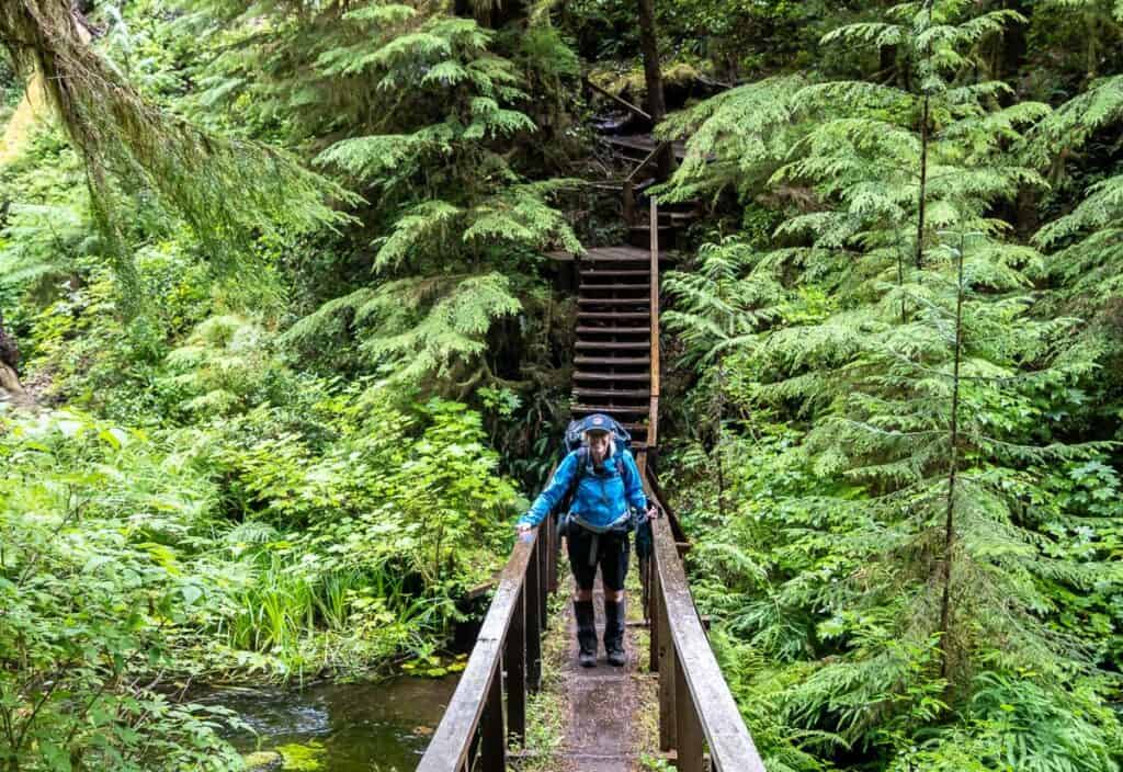
Walk through the Eric Lake Campground on boardwalk, continuing through some stands of truly magnificent old-growth forest.
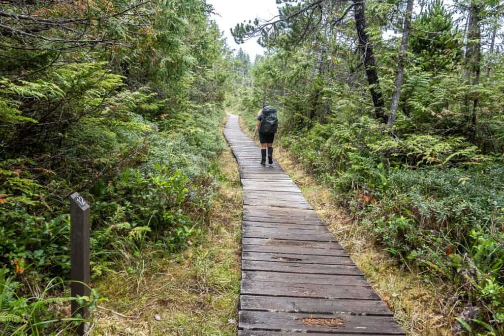
Into the coastal bog
After hiking through a rocky section parallel to St. Mary Creek, you end up back on the uneven and slippery not-so-fun-to-walk corduroy road. You’ll see lots of skunk cabbage along the edges and planks over the worst of the muddy bits. Poles come in handy to probe for water depth.
At 9.0 km reach the bridge over the Fisherman River and the two gloomy campsites near the outhouse.
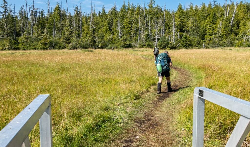
The trail gets better as it moves into an area with grasses and smaller trees, punctuated with sections of boardwalk.
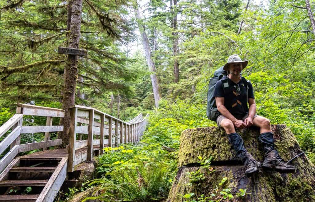
The bog gives way to forest at you get close to a T-junction. About 150 m before the T-junction on your right, check out the gravestone of William Christenson, one of the Danish settlers who died in 1906 at the age of 12.
At the T-junction meet the trail that comes in from Nissen Bight, just 1.9 km away. It’s a beautiful beach to camp on and not as busy as Nels Bight – but it’s a longer walk to the Cape Scott Lighthouse. Still, it’s an option.
Turn left to continue on the Cape Scott Trail. Descend gradually to reach an interpretive sign about the Spence Farm. You’ll find rusted artifacts – and if you walk into the woods a short way, you’ll see the remains of a building.
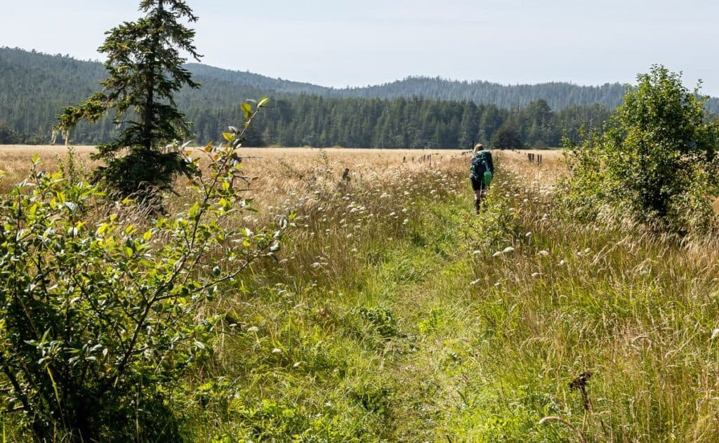
At 14.7 km reach Hansen Meadows – an open grassy area now as the land was cleared for farming in the early 1900’s. Cross a newish bridge over Hansen Creek and continue back into the forest. The final bit of hiking to reach Nels Bight at 16.8 km is a pleasant walk through old-growth forest.
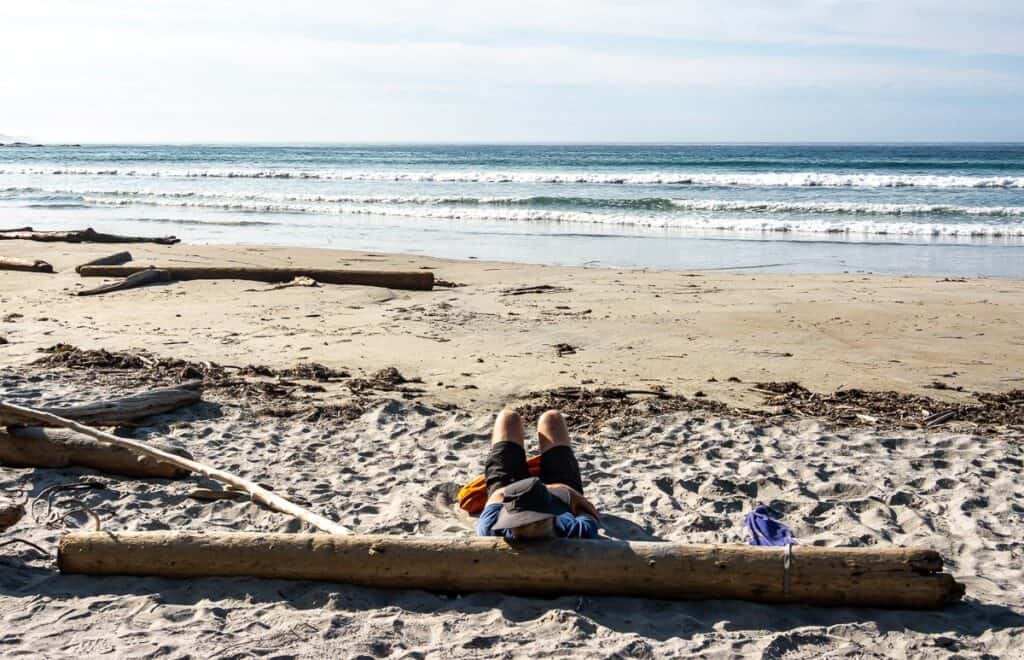
Nels Bight is where most people camp. If that’s your plan, you’re almost finished for the day. Set up your tent, get water, put your food away and relax. On a sunny day, you can’t beat this place.

Nels Bight Beach to Guise Bay on the Cape Scott Trail
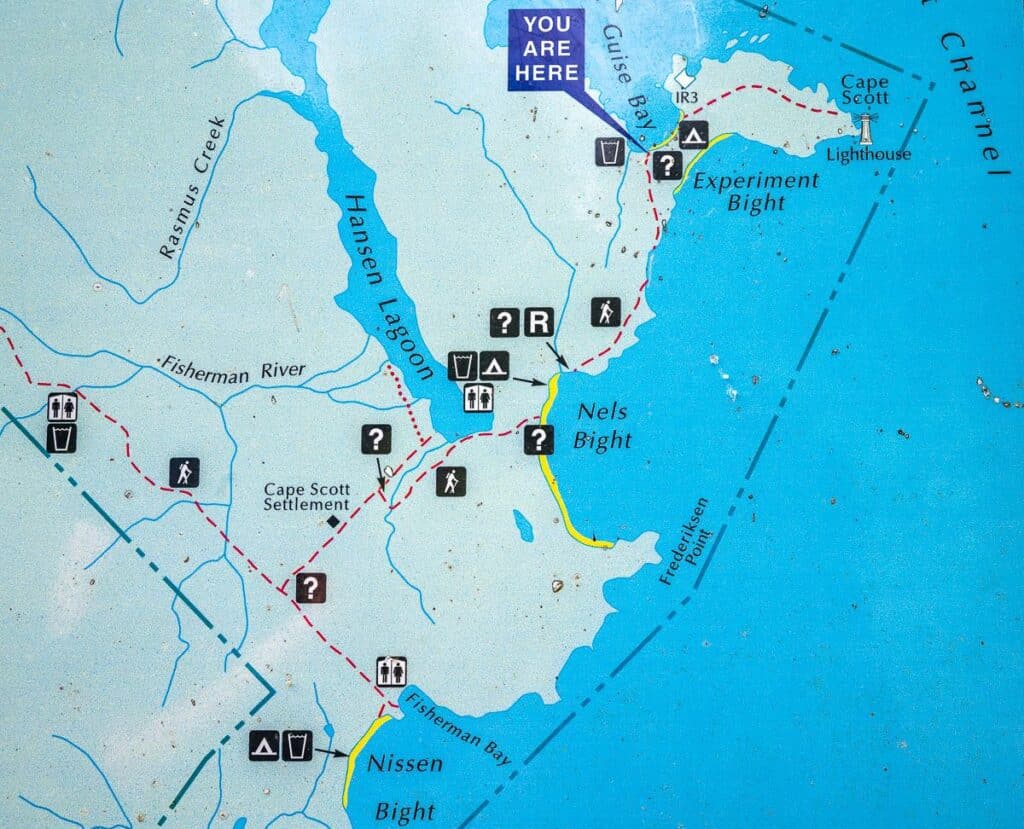
It’s 13.6 km return from the Nels Bight Beach to the Cape Scott Lighthouse via Guise Bay.
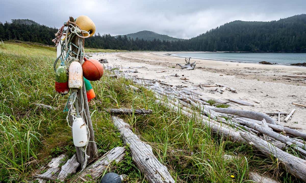
To get to Guise Bay, walk to the southwest end of Nels Bight and cross the creek flowing over the sand. You’ll find the trailhead by the information board and a buoy.
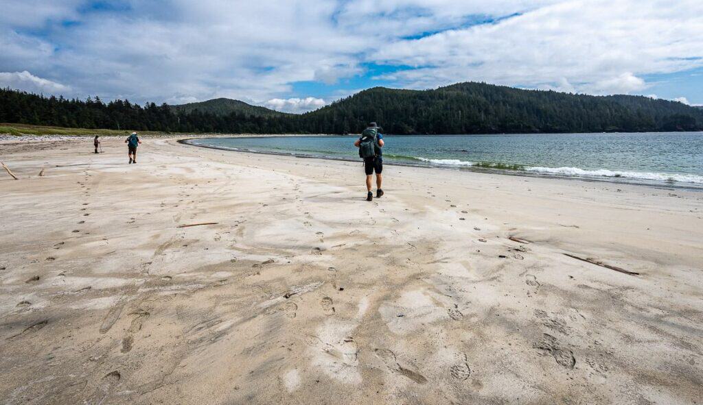
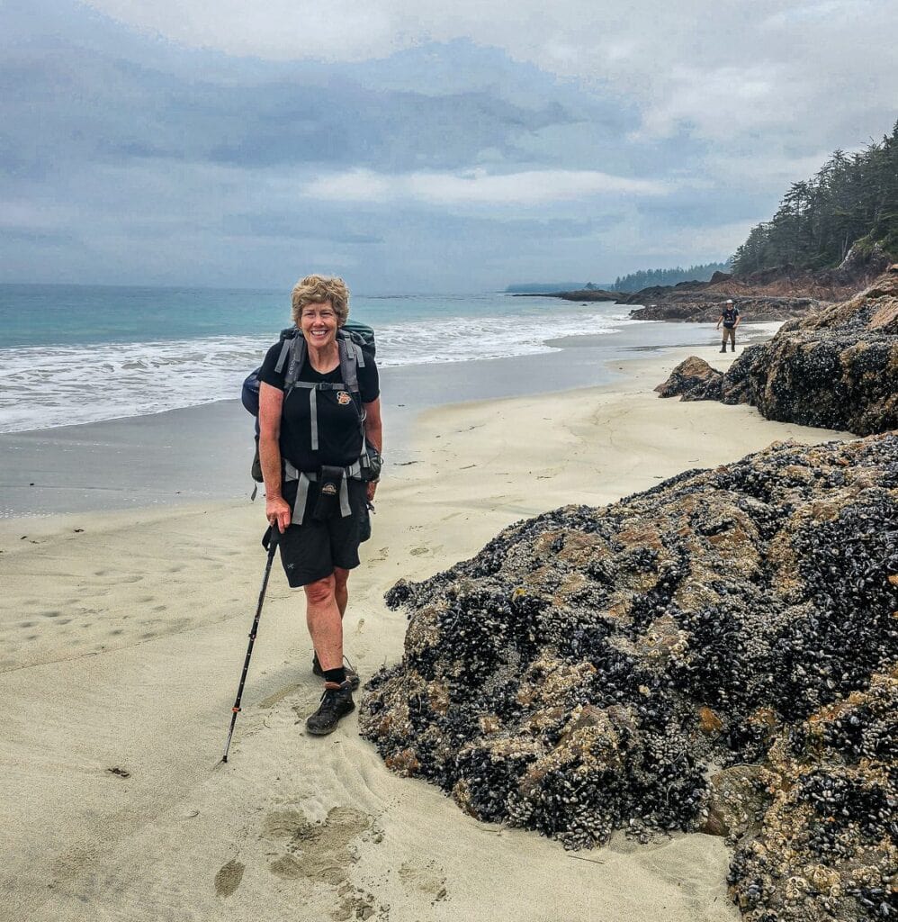
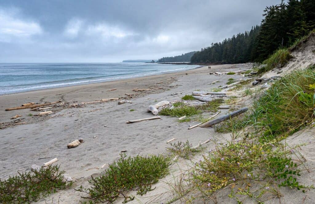
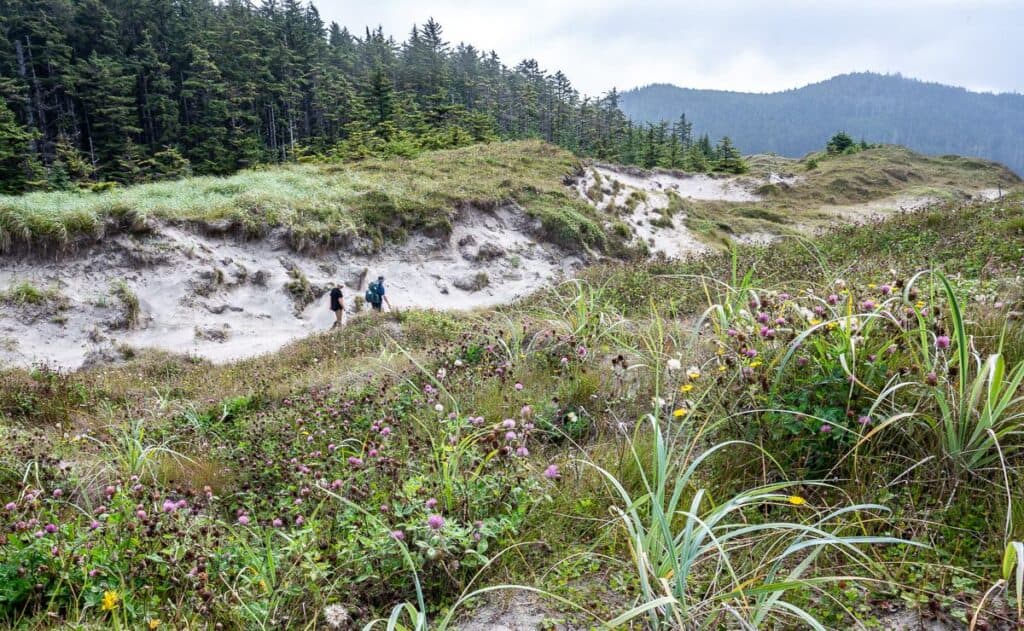
Head into the forest and follow the trail up a hill to reach Bowen Beach at 18.8 km. We were able to stay on the beach and get around a headland at low tide – and then simply walk across some sand dunes to arrive at Guise Bay – about 2 km.
If it’s not low tide, look for buoys in the trees at the end of walking about a kilometre on Bowen Beach – and head back into the forest. Continue on a corduroy road to arrive at Guise Bay at km 20.7.
Guise Bay to Cape Scott Lighthouse
It’s 5.8 km round trip from Guise Bay to the Cape Scott Lighthouse.
The final part of the hike to the Cape Scott Lighthouse follows a wooden plank road through the forest – remnants of a military road used in World War II when there was a Canadian Air Force radar station. Keep left at a fork (it says do not enter on the right fork, so it’s obvious) and arrive on the grounds of the Cape Scott Lighthouse.
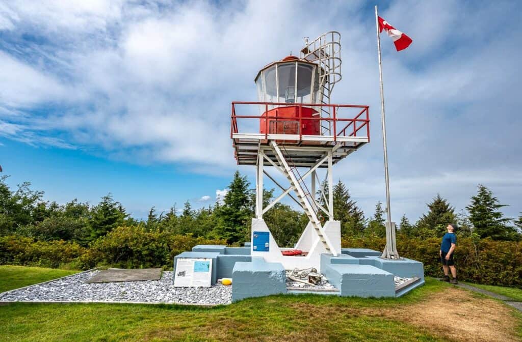
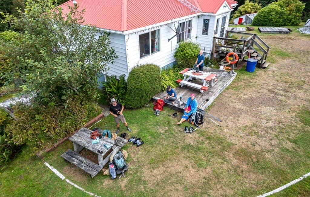
The Cape Scott Lighthouse is manned by two lighthouse keepers that have been lived here for 20 plus years. Usually, they’re happy to have company. Sign their guest book, read about how to become a lighthouse keeper, and climb the metal stairs up the lighthouse for a bit of a view. Don’t forget to fill your water bottles here too.
My one disappointment is that the lighthouse is inland quite a distance from the stormy seas. I pictured it sitting precariously near the Pacific Ocean as powerful waves broke nearby. Now you know.
The return journey is a repeat of what you’ve done on the Cape Scott Trail already. It will likely be wet and muddy, but there is something deeply satisfying about triumphing over bad conditions and surviving the rugged yet beautiful wilderness of Vancouver Island.
History of the trail
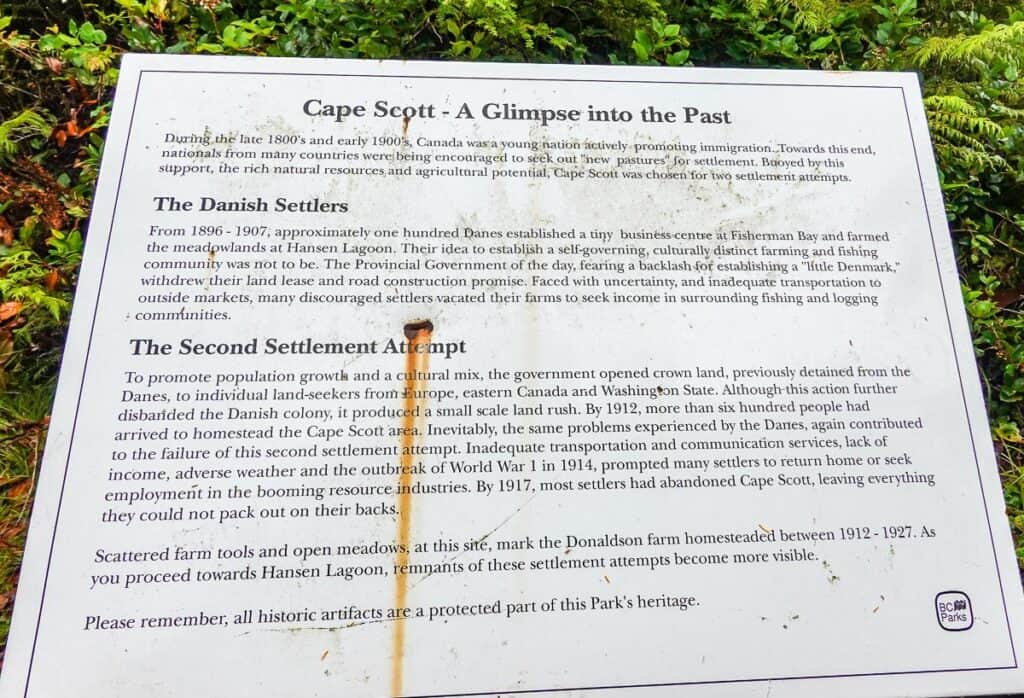
On the Cape Scott Trail you’ll see the remains of settlements from the late 1800s and early 1900s. As you can read in the sign below, about 100 Danish settlers showed up, hoping for a better life and yet despite their toiling for years they were beat back by the unforgiving climate.
They were also disappointed by the provincial government at the time, which had pledged to construct roads in the area but failed to deliver. You’ll see evidence of their lives via building foundations and rusted utensils and tools.
Campsites on the Cape Scott Trail
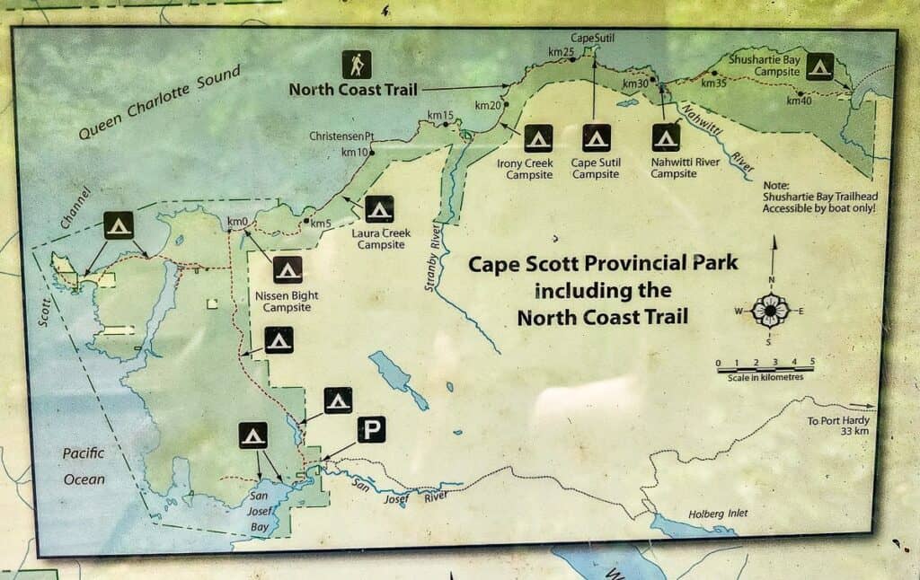
There are four campsites along the Cape Scott Trail. All are first come – first served. The best campsites are the ones on the beach at Nels Bight and Guise Bay, but if you get a late start the other two will work as well.
There are also two off trail options that are both good choices – San Josef Bay and Nissen Bight Beach.
Eric Lake Campground
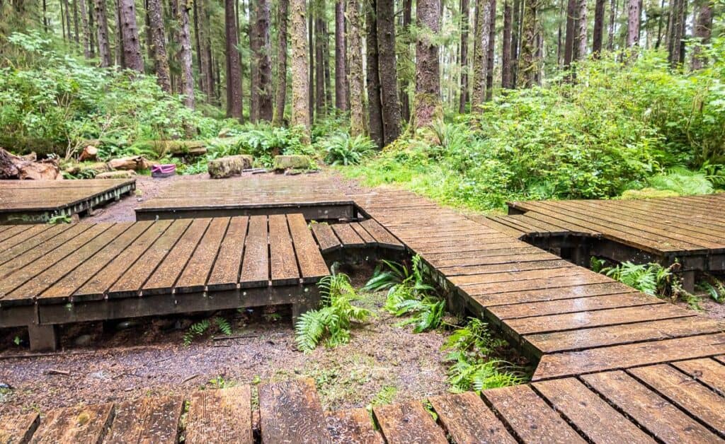
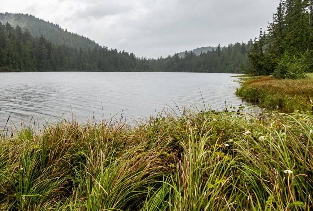
It’s only 3 km from the parking lot to reach the Eric Lake Campground. And for that reason, it’s a great choice if you started late in the day. The campground, surrounded by good sized trees, has a series of 13 interconnected tent platforms and boardwalk – like nothing I’ve seen before. There are food lockers and quick access to fresh water at Eric Lake or from a stream running through the campsite.
Fisherman River Campground
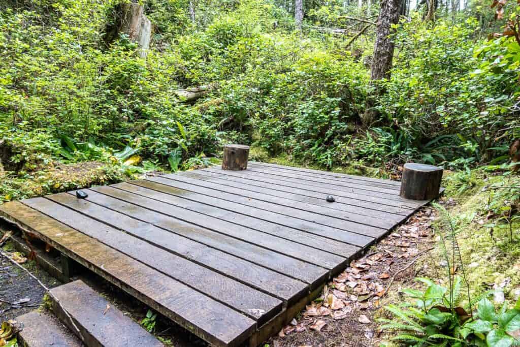
The Fisherman River Campground is 9.3 km in from the parking lot. For some this might seem to be a good destination for the first night on the Cape Scott Trail, but I found it to be totally depressing. There are a couple of wooden tent platforms near the outhouses, and it looks like some people have camped down by the river. At least the fresh water source is close by!
Nels Bight Campground
Nels Bight is a beautiful two-kilometre-long sandy beach with loads of campsites above the high tide line. The further you camp away from the trail entrance at the beach, the more privacy you’ll have.
On a sunny, summer weekend you can expect to see 20+ people camping, but there’s enough room that it doesn’t feel overrun.
There are two downsides to camping at Nels Bight – the distance to the outhouses (past the ranger station at the start of the Guise Trail) and it’s a long walk to get fresh water. Look for signage pointing to the water source in the forest at the southwest end of the beach.
Food boxes can be found behind the beach in several locations. You’ll want to use the one nearest to where you are camping.
Helpful hint: When you go to the Cape Scott Lighthouse, be sure to fill all your water bottles as their water tastes way better than the water you collect from the stream.
Guise Bay Campground
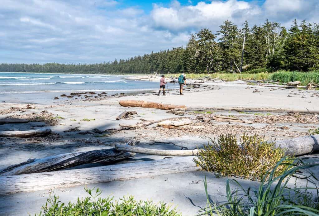
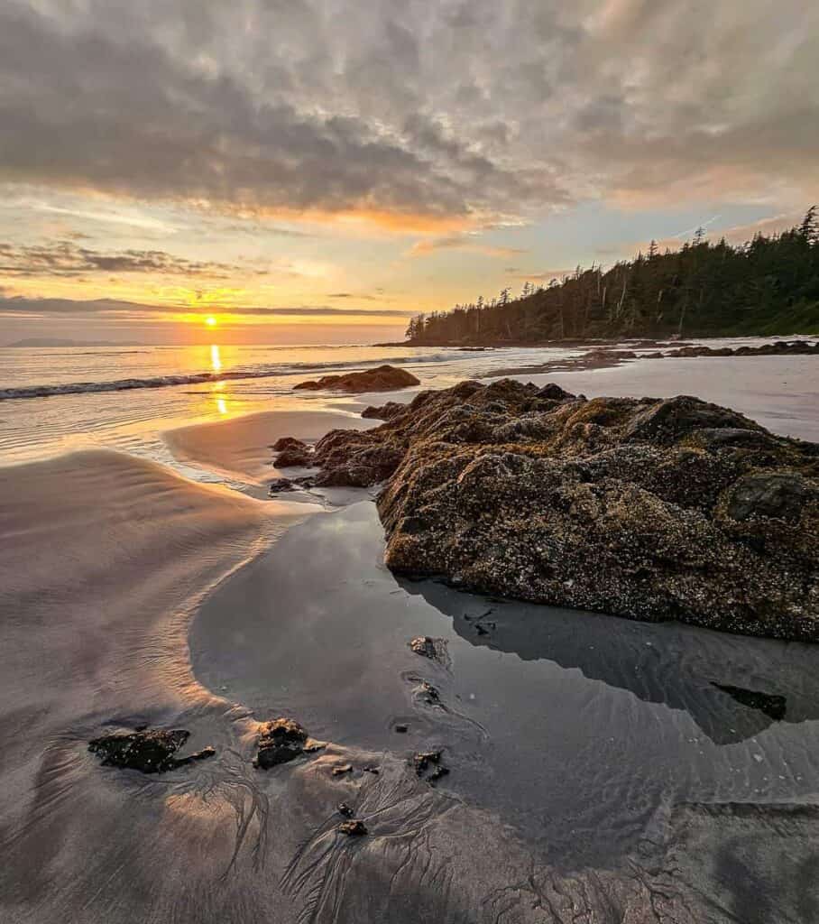
The campground at Guise Bay is quiet so if it’s privacy you’re after, it’s a good choice but the beach isn’t as pretty as the one at Nels Bight.
There are lots of campsites among the logs above the high tide line. There is one outhouse and food lockers near the southeast end of the beach. Fresh water can be a problem by the end of the summer as the stream at the southeast end of the beach can dry up – and all the more reason to fill up water containers at the Cape Scott Lighthouse.
San Josef Beach Campground
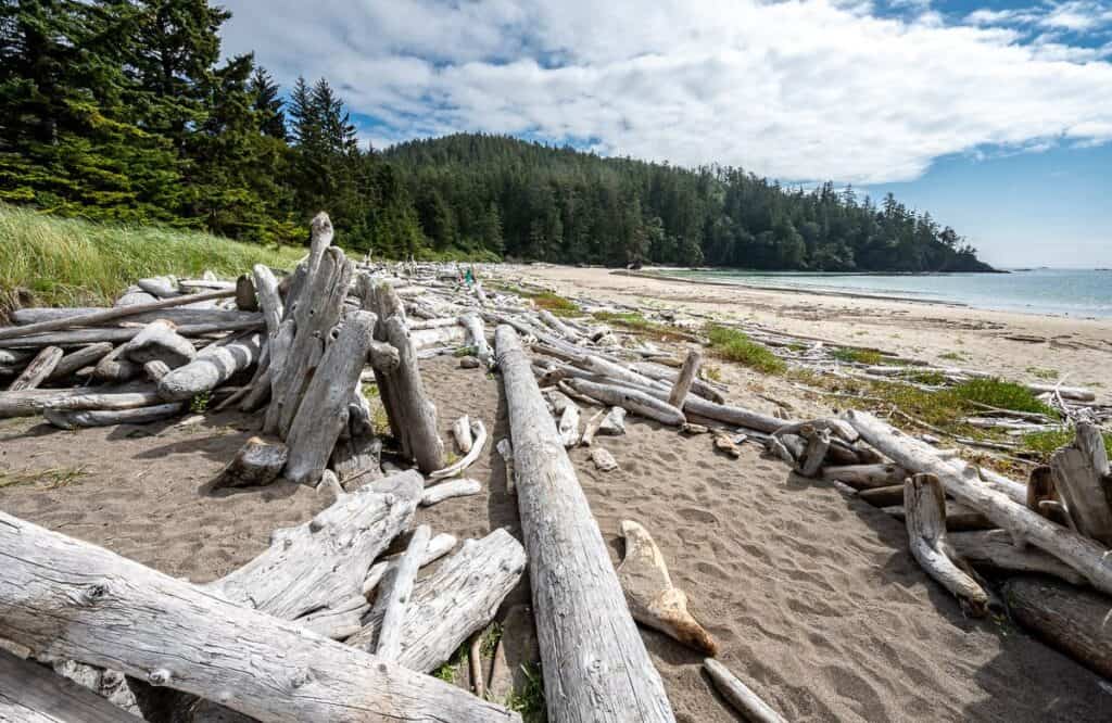
It’s only a 45 -60 minute walk each way from the parking lot to the beach at San Josef Bay. It’s an easy hike to get here, so I’d recommend a stay at the end of your Cape Scott Trail hike. If you get a late start hiking, it would also be a good option.
The campsites are along the beach above high tide and are first come, first served. There is the option to camp at Second Beach – but it’s most easily accessed at low tide. Otherwise, it’s a rugged hike from near the sea stacks over a bluff. The water source is near the Second Beach, so I highly recommend you carry in all the water you need for one night.
Nissen Bight Campground
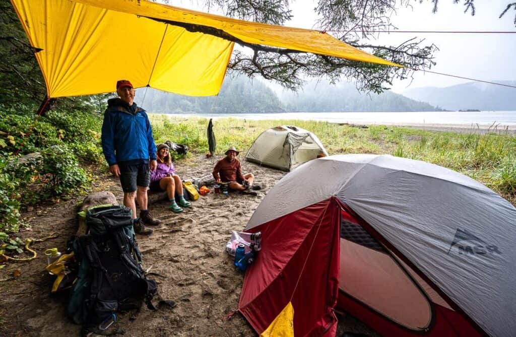
From the parking lot to Nissen Bight it’s 15.1 km. The beach and the camping at Nissen Bight is fabulous and quieter than at Nels Bight but the distance as a day trip to the Cape Scott Lighthouse would be 3.8 km longer – as it’s 1.9 km each way to the T-junction where you meet the Cape Scott Trail.
Look for campsites above the high tide line. You’ll find water at the east end of the beach close to the North Coast Trail. The water is about 1 km away from the entrance to Nissen Bight as you arrive on the spur trail by all the buoys.
The outhouse and food lockers are at the west end of the beach.
A side trip to San Josef Bay
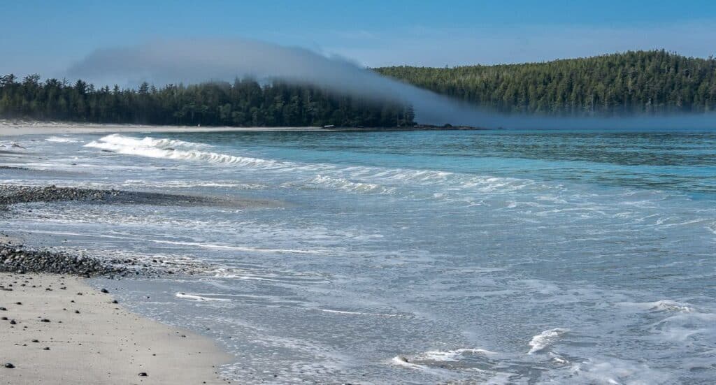
On the way to or from the Cape Scott Lighthouse you can make a quick and easy side trip to San Josef Bay. It’s also a lovely spot to spend the night at the start or end of your Cape Scott Trail hike.
It’s only 5 km return from the parking lot to San Josef Bay on a mostly flat, wide maintained trail. In fact, you will see families and others pulling wagons and carts with camping gear.
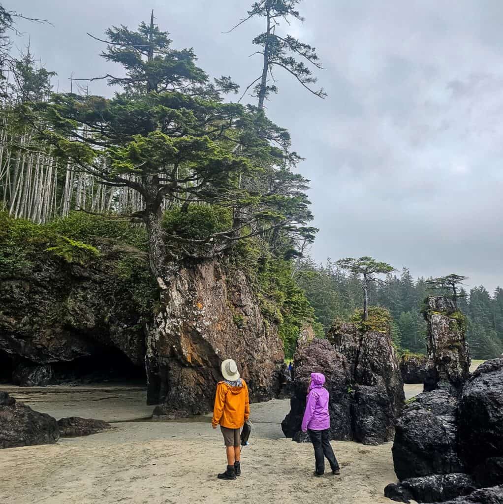
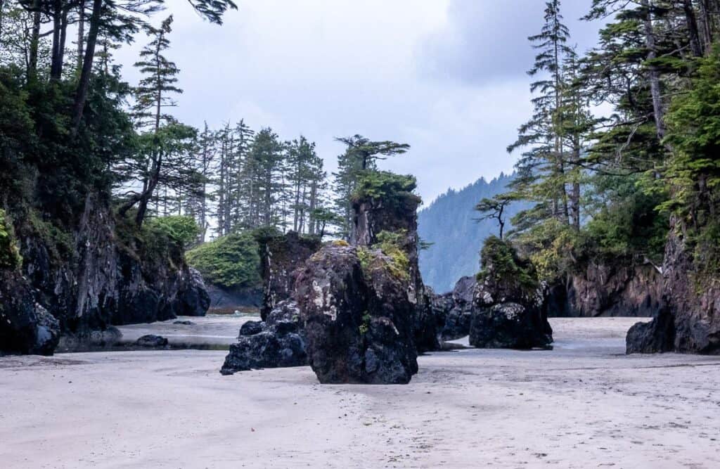
Apart from the white sand beach, visit San Josef Bay at low tide to see the sea stacks in assorted shapes and sizes. For people with more time, you can continue to Second Beach and up the Mount St. Patrick summit.
Before you go, be sure you have lots of water as it is very difficult to get if it’s hide tide.
Gear and packing list for the hike to the Cape Scott Lighthouse
Good waterproof gear is a priority. Pack waterproof pants, a waterproof coat with a hood, and a ball cap to keep the rain off your face.
Well broken in waterproof hiking boots are very important. I’d also recommend a pair of leg gaiters as you’ll get very muddy.
Collapsible trekking poles and bear spray in a bear spray holster are a must.
A communication device like a Garmin InReach Mini 2 is essential if there is an emergency.
Clothing
Pack moisture-wicking base layers (I like merino wool especially as you don’t smell after several days out), a warm insulating layer and a waterproof outer layer.
On the Cape Scott hike I took two t-shirts, one long-sleeved merino wool shirt, a warm fleece jacket, a lightweight but warm down jacket.
Camping gear
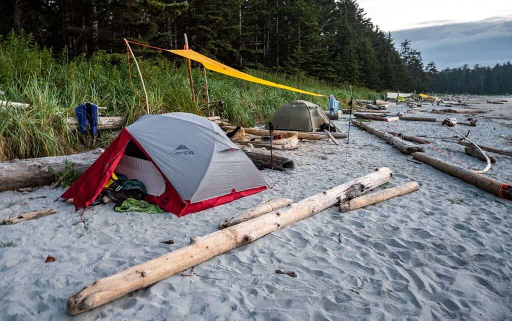
We love our MSR tent and have the 3-person version so we have some room inside.
Sleeping bags are personal. The lightest one that is still very warm that I’ve got is the MEC Aphelion down sleeping bag. It only has a half zipper, but it packs down into nothing.
A lightweight camping stove with fuel cannisters seems to be the norm these days though we still like our MSR WhisperLite stove.
I highly recommend you carry a tarp (and enough rope) to put over your tent in case it rains really hard and another tarp you could share with friends that you can sit under to cook, eat and relax.
Food and water
Don’t forget to pack a water filter or water purification tablets. Some of the water sources along the Cape Scott Trail aren’t the best tasting.
Where to stay in Port Hardy
If you’re driving up from Nanaimo or Campbell River, you may not get into Port Hardy until mid-afternoon or later. It might be worth spending a night in town either before or after hiking the Cape Scott Trail.
For a hotel: Check out the Kwa’lilas Hotel, rated fabulous. It’s centrally located.
For cabins: Visit Port Hardy Cabins rated superb. I very much like Ecoscape Cabins, just a few minutes’ drive from Port Hardy.
Hostel: The North Coast Trail Backpackers Hostel is rated as very good.
Location map of the Cape Scott trail
More useful maps of the Cape Scott Lighthouse hike
Final thoughts
The Cape Scott Trail through to the Cape Scott Lighthouse is a highly worthwhile backpacking trip, especially if you want a taste of the wild northwest coast without committing to the more difficult North Coast Trail. Aim to go in summer when you’re most likely to hit a stretch of sunny weather. Nothing beats lounging on Nels Bight on a summer day.
If you have any questions leave a comment and I’ll do my best to answer it.
Another coastal backpacking trip I highly recommend is the Nootka Trail off the west coast of Vancouver Island.
More ideas for things to do in British Columbia
- Ripple Rock Trail Near Campbell River, BC
- 3 of the Best Canoe Routes in British Columbia
- 25 of the Best Adventures in BC
- 6 Fantastic Things to Do in Parksville
- 25 Top Things to Do on Vancouver Island
Click on the photo to bookmark to your Pinterest boards.
