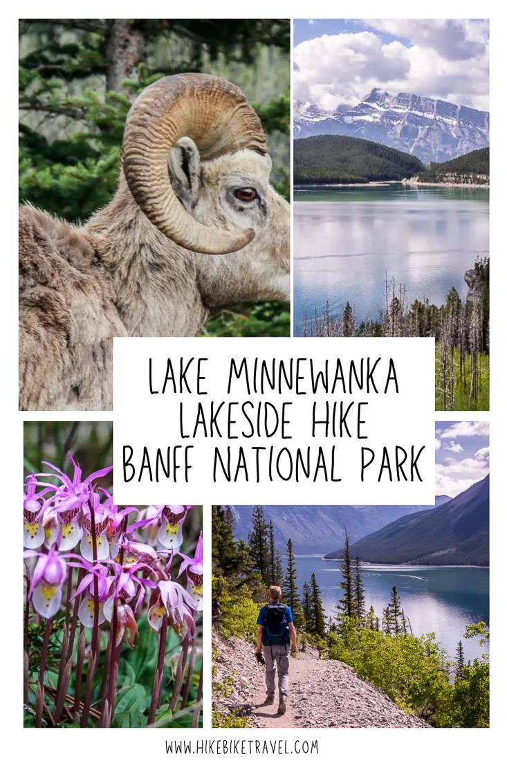
I was looking for a good shoulder season hike – something that would offer up great mountain scenery but wouldn’t take me into snow. The other factor was that my brother was visiting and he hadn’t been to Banff National Park in over thirty years. He wanted wildlife. The Lake Minnewanka hike, which is accessed from a trailhead just 15-minutes from downtown Banff, delivers on both accounts.
I highly recommend the Lake Minnewanka hike as a great shoulder season outing – for May, June, late September, October and November. I say shoulder season because the trail loses the snow early.
In the height of the summer, it’s best avoided because of bear activity. The Lake Minnewanka hike can be stretched into a backpacking trip or you can add on the hike to Aylmer Lookout – something I recommend doing.
This post includes some affiliate links. If you make a qualifying purchase through one of these links, I will receive a small percentage of the sale at no extra cost to you. Thank you very much for your support.
Lake Minnewanka hike summary
Hike length: Most people hike well past the Stewart Canyon turnoff and many go down as far as the turnoff to Aylmer Lookout but it’s all up to you. Up to 31 km (19.2 miles) one way if you go as far as the Ghost Lakes campsite. From there it’s another 4.5 km (2.8 miles) one way to the Devil’s Gap Trailhead
Elevation gain: Approximately 300 metres (984 feet) on the full out and back hike.
Time needed: As much as you want. Plan to backpack if you want to head to the end of Lake Minnewanka.
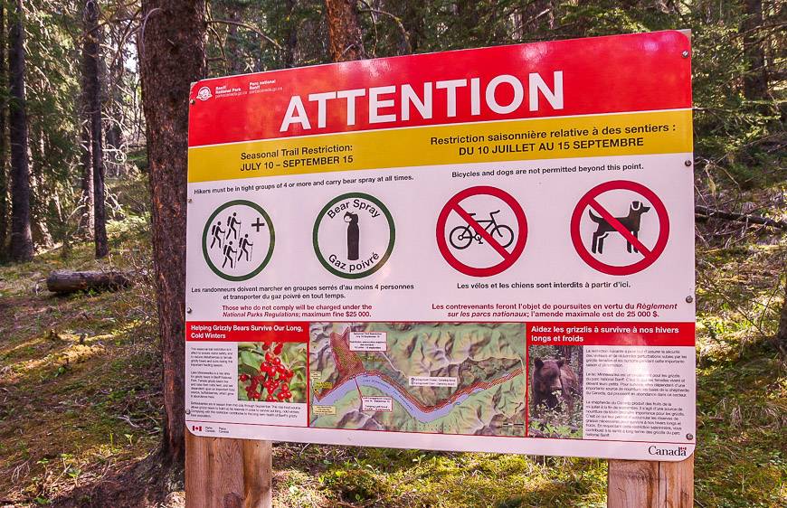
Dogs: Allowed on leash except between July 10 and September 15th.
Trail restrictions: The trail travels through an area that sees a lot of bear activity. From July 10 until September 15 you must hike as a tight group of four and everyone needs to carry a can of bear spray. I’d recommend carrying it in a bear spray holsterso you don’t set it off accidentally – which happens more than you might think.
Map needed: Gem Trek Banff and Mt. Assiniboine
Campsites along Lake Minnewanka: LM8 (Aylmer Pass Junction), LM9 (Aylmer Canyon), LM11 (Mount Inglismaldie), LM20 (Mount Costigan), LM 22 (The Narrows), LM 31 (Ghost Lakes). Reservations for these backcountry campsites open on January 29, 2024 at 8 AM MST. You can also purchase a pass at the Banff National Parks office at 224 Banff Avenue in Banff.
Permits: You will need a Parks Canada pass to do the Lake Minnewanka hike.
Trail reports: Check trail conditions before you go.
Options: You can’t hike all around Lake Minnewanka on a trail, but you can hike to the far end of the trail on a backpacking trip.
Don’t forget: Let someone know where you are going, pack out everything you pack in and carry the 10 hiking essentials.
Lake Minnewanka
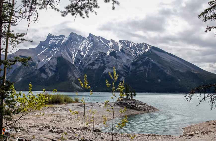
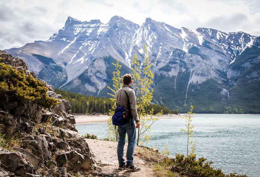
Lake Minnewanka is a stunning fjord-like lake. It’s almost 24 km long and it’s deep – 142 m deep, making it the largest and deepest lake in Banff National Park.
It hasn’t always been this way. Years ago dams were built and in fact Minnewanka Landing, once a thriving resort town, is now under the lake.
Lake Minnewanka is a wildly popular place – but don’t let that put you off, especially in shoulder season when the number of tourists isn’t anywhere near summer time highs.
Many people will opt for a boat tour, and many are happy to just enjoy a picnic by the lake. And if you’re a hiker, chances are you’ll lose the crowds after the first few kilometres.
Side hike to Stewart Canyon
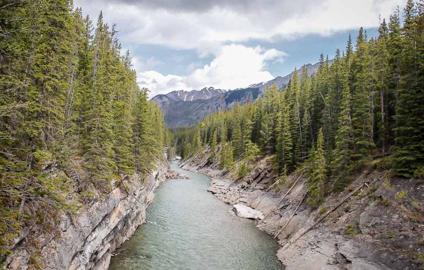
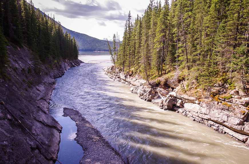
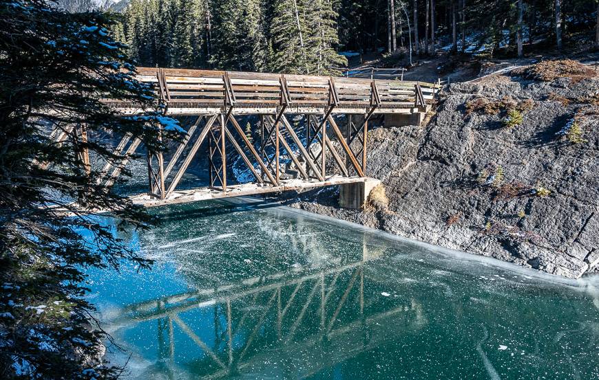
We hiked the first 1.5 km to a substantial bridge over Stewart Canyon. This is the point we saw a number of people turn back. There is a pretty view of the Cascade River from the bridge.
The Cascade River cuts through a limestone chasm as it flows towards Lake Minnewanka. Across the bridge, go right and continue on the Lake Minnewanka Lakeside Trail or head left if you want to explore the Stewart Canyon Trail.
We did both the Stewart Canyon trail (as a quick out and back) and the Lake Minnewanka hike – but if you’re short on time just stick with the Lake Minnewanka Lakeside trail hike.
The Stewart Canyon Trail takes you 1.5 km one way along the edge of the river. It’s pretty enough and quite lovely especially if you stop at the end of the trail down where it hits the river – but it doesn’t offer the outstanding views that the Lake Minnewanka hike offers.
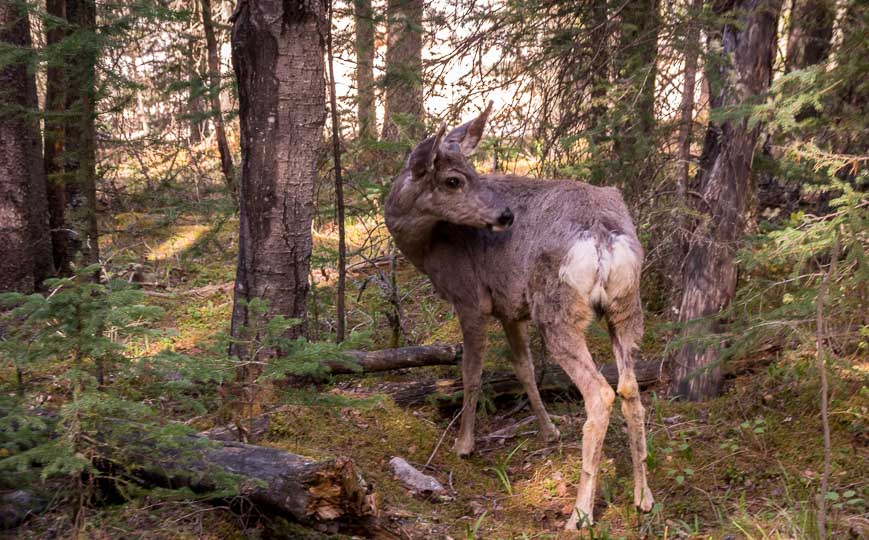
At the intersection of the two trails we have often seen deer or big-horned sheep. Be sure to give both plenty of space as you hike through.
Lake Minnewanka hike description
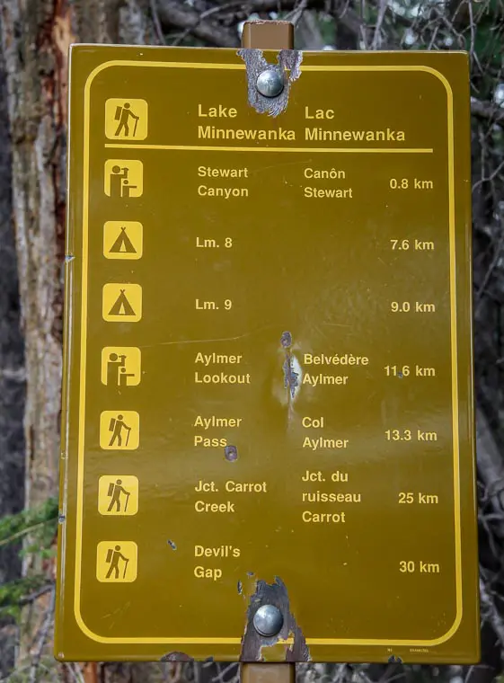
To begin the Lake Minnewanka hike, walk the service road past the boat dock and through the picnic area at the edge of the lake. In about a half kilometre you’ll see the trail sign with the mileage given to various points along Lake Minnewanka.
You have the option of hiking over 30 km one way from this point on the shoreline trail beside Lake Minnewanka. Many hikers opt for an overnight backpacking trip so they can explore all the way down to the far end of the lake.
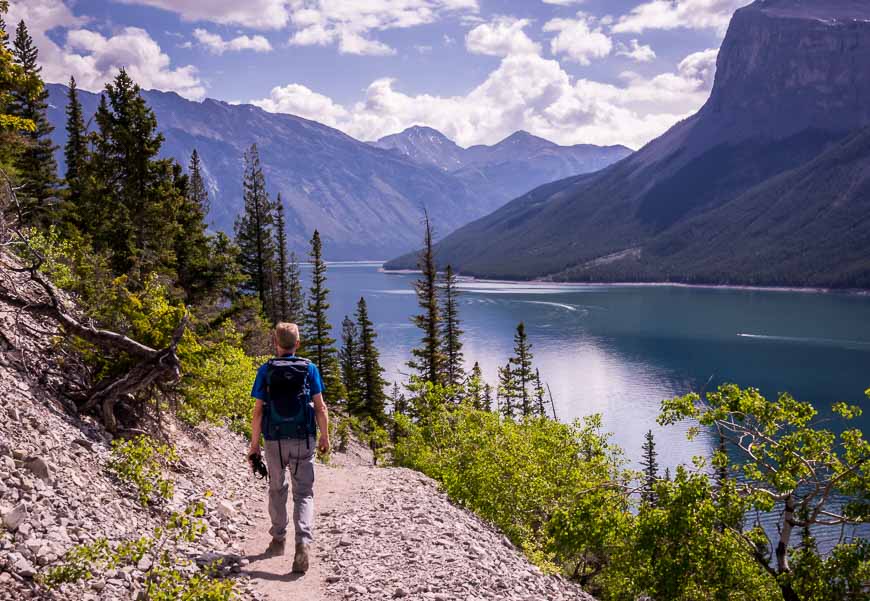
However, the Lake Minnewanka hike is ideal for anyone who just wants to see a different view of the lake. It’s an out and back hike so go as far as you like and then return.
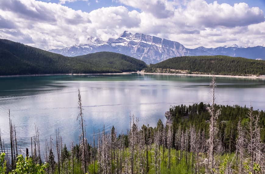
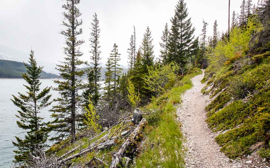
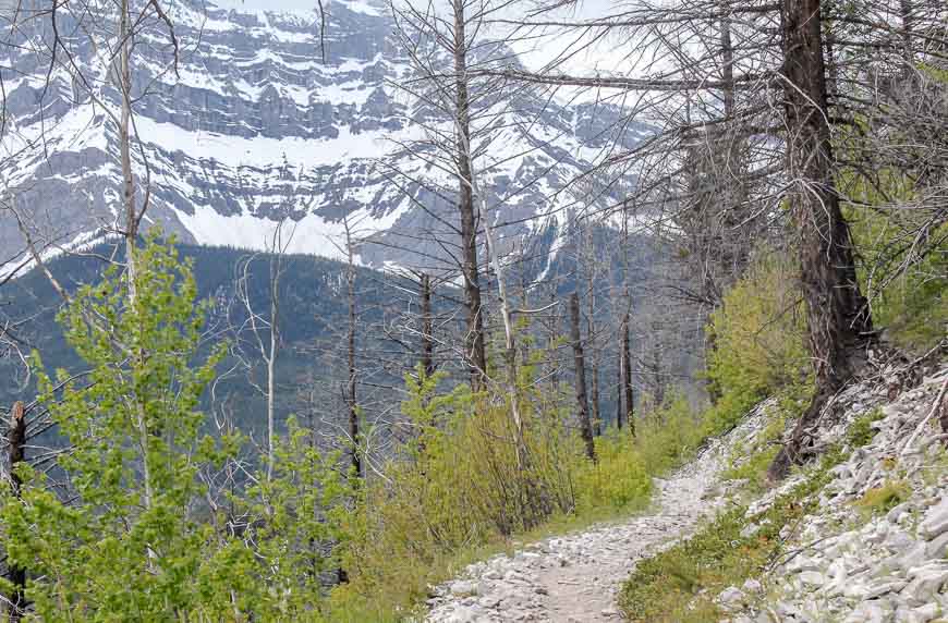
From the intersection of the two trails (Stewart Canyon and Lake Minnewanka trail) you head up – though it’s only 46 m (150 feet) of elevation gain – and through a section of burnt forest from a controlled burn in 2003.
It’s quite beautiful through here now with wonderful vistas and lots of fresh lime green vegetation. Enjoy the sight too of Cascade Mountain
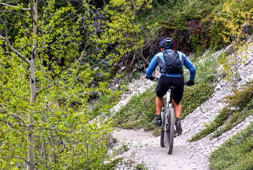
When you exit the burnt section the views are sublime. But do watch where you’re going. The trail is narrow and you have to share it with mountain bikers. All the bikers we met were wonderfully polite!
Continue along the trail over rocky ground and admire the rugged looking Mt. Inglismaldie on the far shore. Be prepared for some ups and downs over the next few kilometres.
We stopped just short of the Aylmer Pass Junction – at 7.8 km from the trailhead. A side path to the beach beckoned and so did lunch.
You could choose to continue on the Lake Minnewanka trail – past the LM8 campground (with bear proof boxes), followed by campgrounds at the 9.3, 11 and the 18.8 km mark. Reach the end of the lake after hiking 23 km.
You can continue even further to the Ghost Lakes and finally Devil’s Gap at 30.6 km. Retrace your steps to return.
Animals on the Lake Minnewanka hike
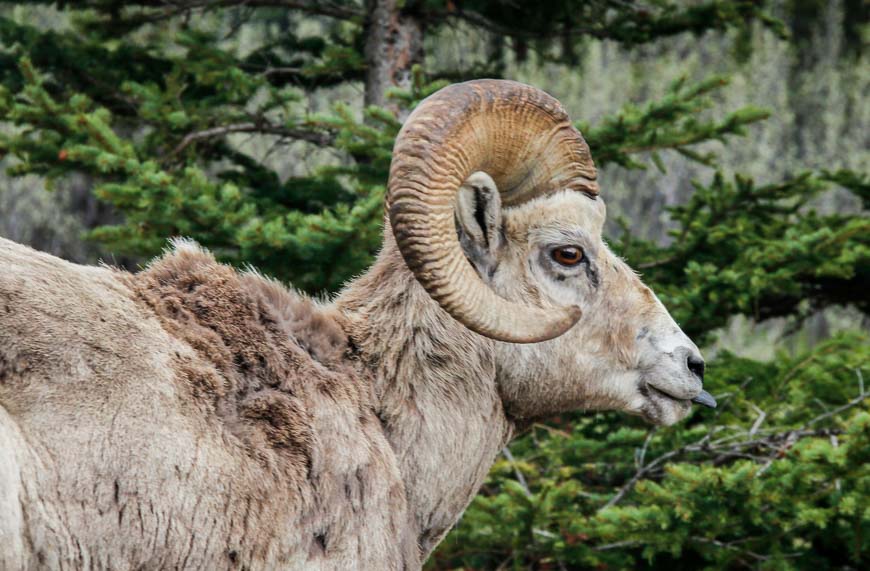
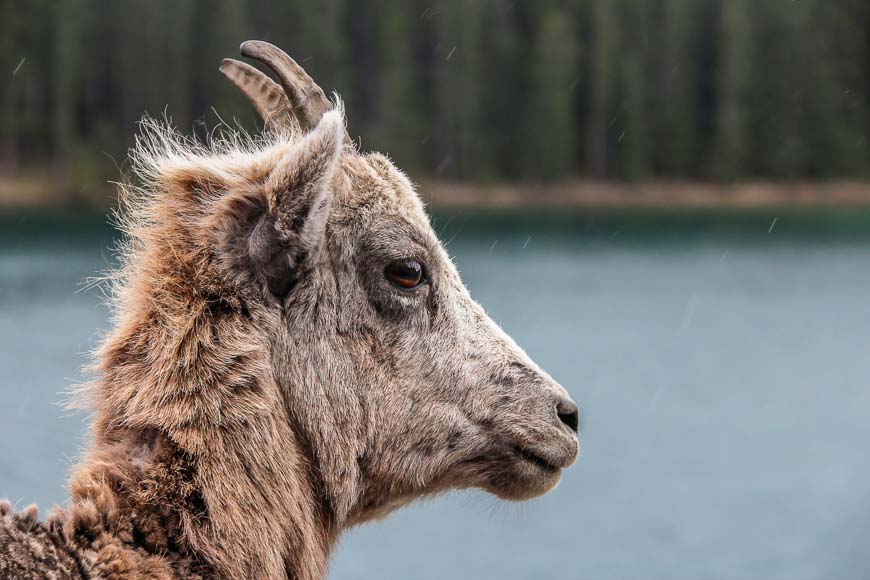
The big-horned sheep seen in the photo below were around in great numbers on the road to Lake Minnewanka. They seem less wild than the ones I saw in the Calgary Zoo.
They were quite happy to pose for shots – though don’t go after them. I also have seen big-horned sheep on several occasions around the Stewart Creek Bridge.
Look for grizzly bear (I saw a mom and three cubs on one Lake Minnewanka hike) elk, and white-tailed deer in the woods too.
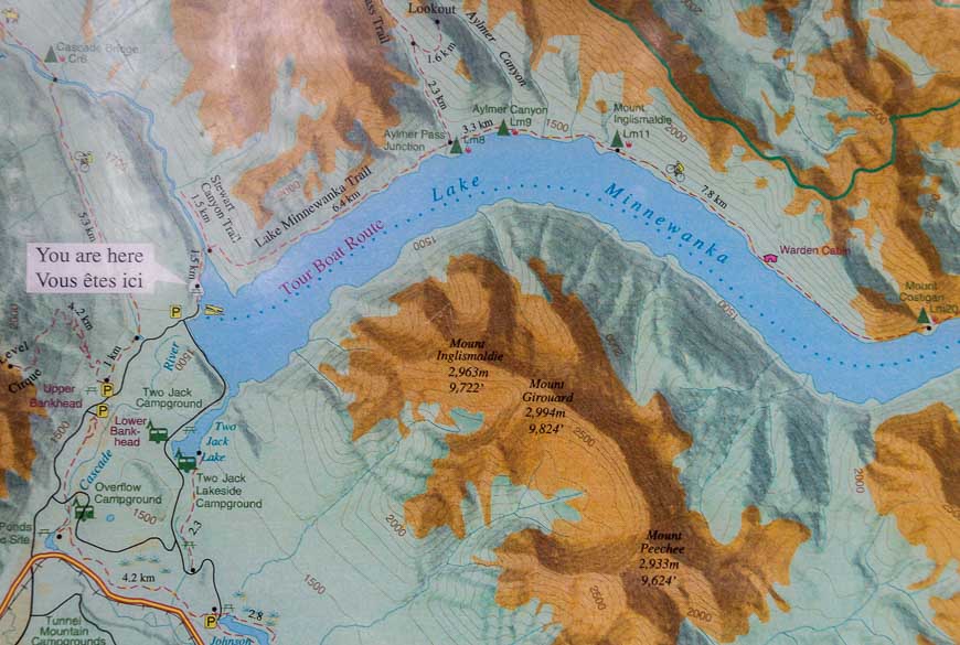
Map of the Lake Minnewanka hike
Notice the hike in the dotted red line along the north shore of Lake Minnewanka.
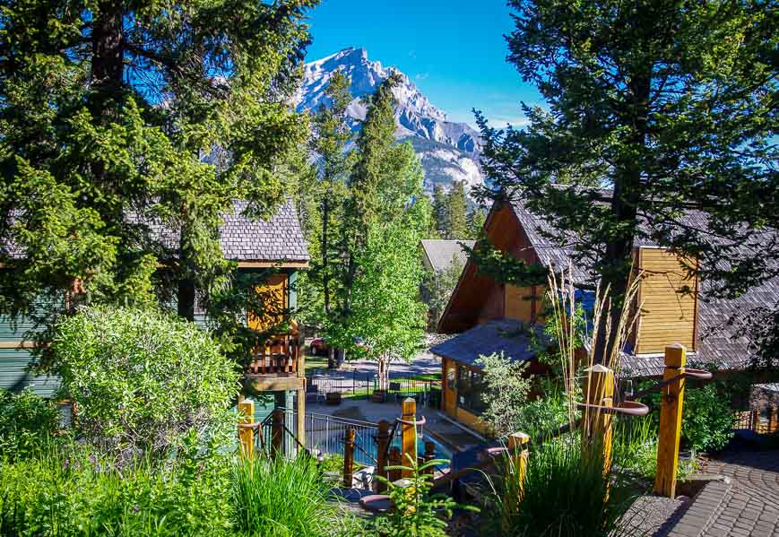
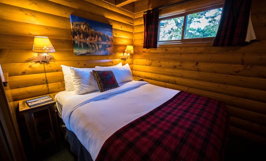
Where to stay in and near Banff
If you’re a visitor to Banff there are loads of great hotel options across quite a range of price points.
A few of my favourite hotels include TheMoose Hotel & Suites on Banff Avenue and Buffalo Mountain Lodgeon Tunnel Mountain Road.
Bow Valley Parkway
If you want more of a nature feel to a place, head to one of three properties along the Bow Valley Parkway.
Baker Creek by Basecamp (open year round),Johnston Canyon Lodge and Bungalows(May till October only), andCastle Mountain Chalets(year-round).
Finding the Lake Minnewanka hike trailhead
To get to the Lake Minnewanka parking lot take Banff Avenue north out of Banff. It passes under the Trans-Canada Highway and becomes Lake Minnewanka Road.
Continue on it for 5.5 km until you reach the large paved parking lot on your left. Alternatively look for the Lake Minnewanka signs on the Trans-Canada highway. They’re hard to miss.
When you finish the Lake Minnewanka hike continue on the Lake Minnewanka Road. It’s a loop road and on one section along the lake there’s a good chance you’ll see big horned sheep .
Further reading on hikes in Banff
- Banff Hikes: Castle Mountain Lookout
- A Hike to Bourgeau Lake and Harvey Pass
- 10 Breathtaking Lake Louise Hikes, Banff National Park
- Cascade Amphitheatre Hike, Banff National Park
- The Taylor Lake Hike in Banff National Park
Click on the photo to bookmark to your Pinterest boards.
