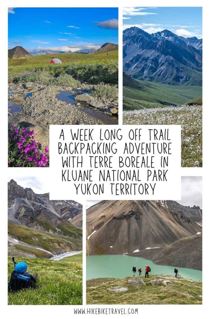
Backpacking in Kluane National Park For 7 Days Off Trail
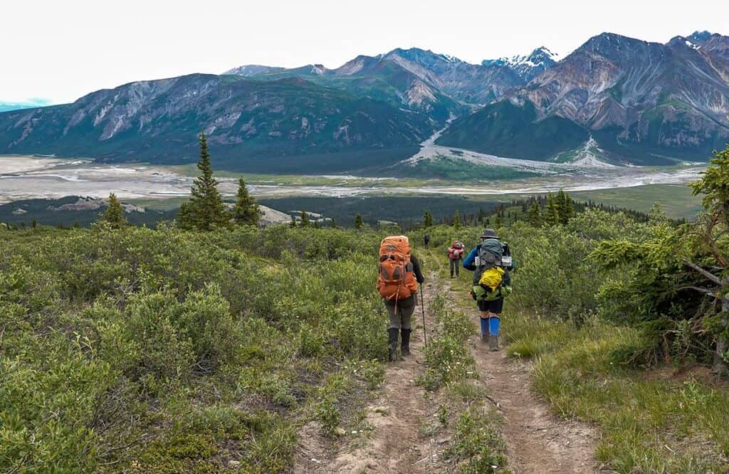
If you’re looking for a backpacking paradise, then Kluane National Park in the southwestern corner of the Yukon needs to be on your radar. Renowned for its pristine wilderness, soaring peaks, and vast icefields, the park offers those seeking solitude an intimate connection with nature that you won’t find in many places in the world.
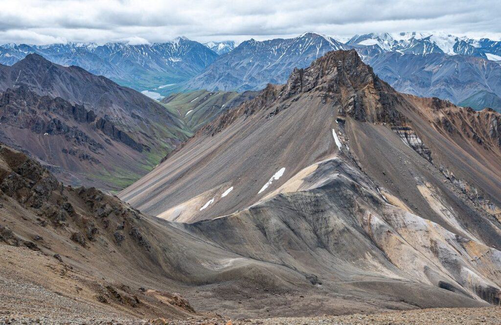
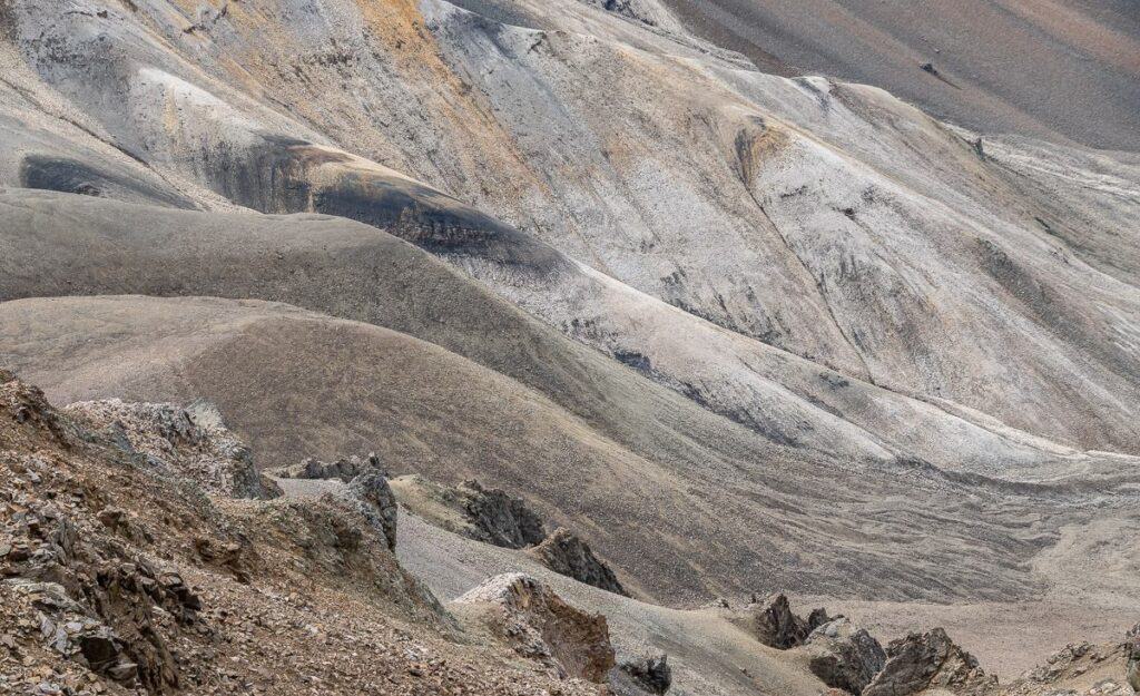
The Kluane Colours tour created by Terre Boréale is a fabulous remote backpacking experience, designed to showcase the diverse landscapes, incredible geology, wildflowers and wildlife – both small and large, in Kluane National Park.
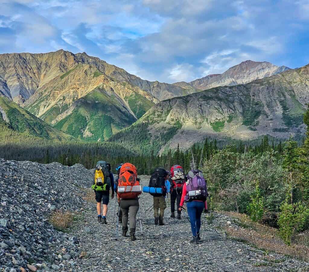
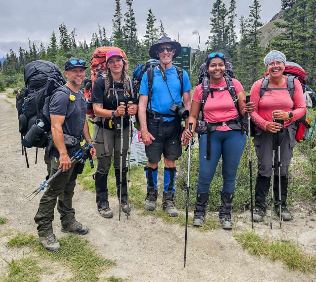
With a group of no more than six guests and two guides, you spend a week exploring what feels like untouched wilderness, where few people have trod.
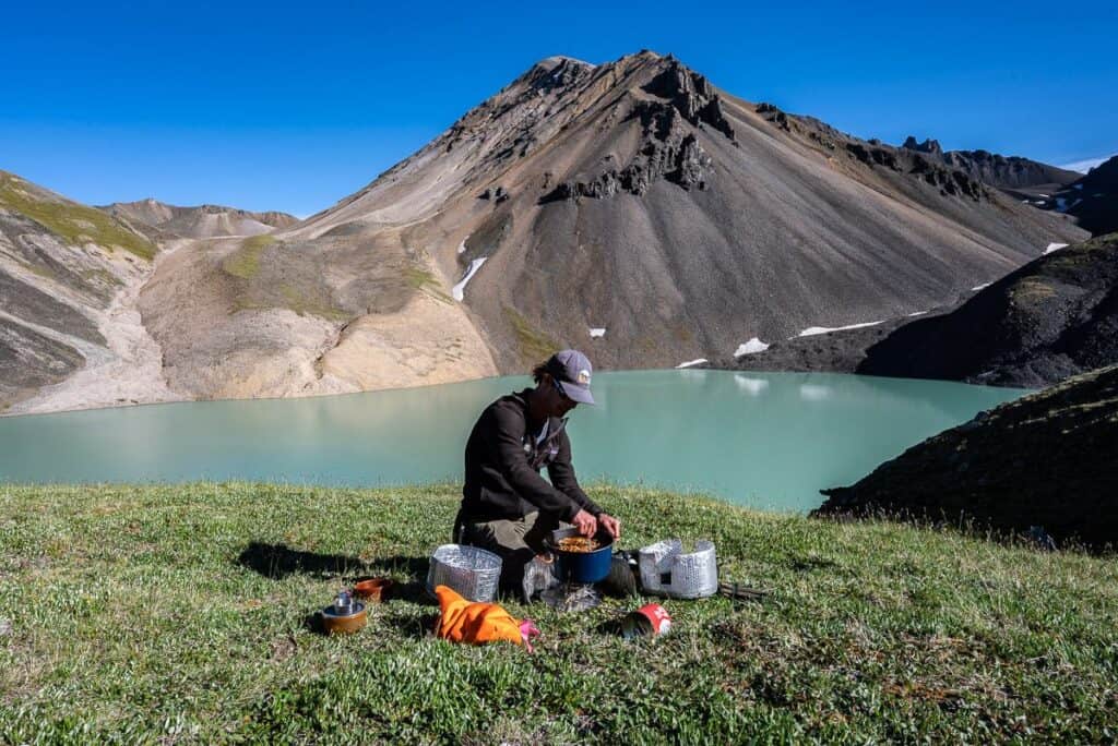
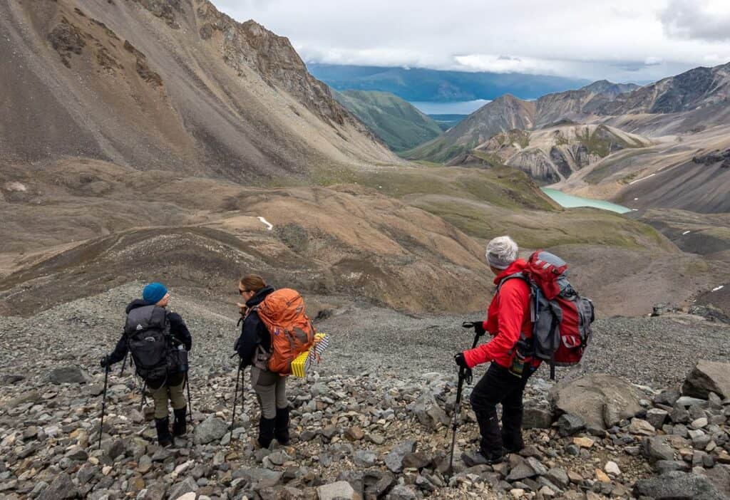
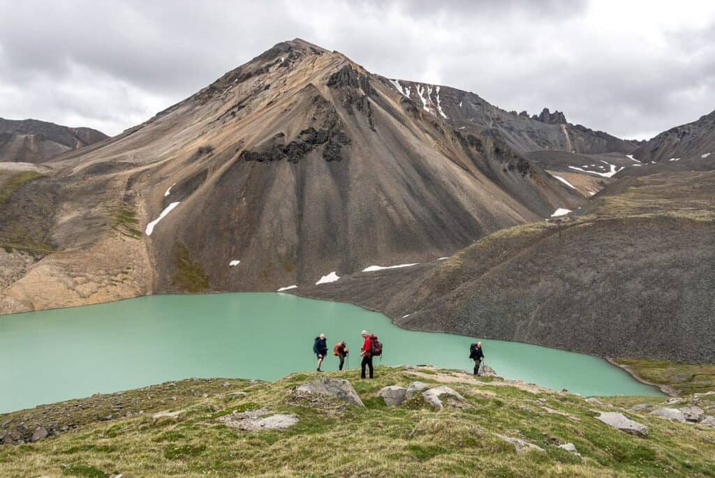
From a backpacker’s perspective, the Kluane Colours backpacking tour in Kluane National Park is a dream come true. The adventure begins with a big climb up from the Alaska Highway to the high alpine, where a stunning green-blue lake awaits.
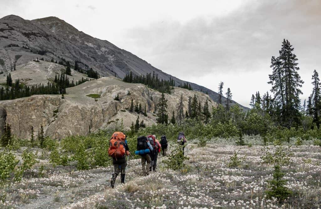
From there you stay high for the next five days, heading up and over mountain passes and hiking alongside streams and rivers to access landscapes teeming with colourful rocks and wildflowers. On the last day there’s one final big descent – and you’re finished, but it’s not an experience that will ever be forgotten.
Disconnect from everyday life on this Kluane National Park backpacking adventure and live in the moment. Step outside your tent at 3 AM and witness the midnight sun. Look for Dall sheep, mountain goats, caribou, and grizzly bears (we saw two of the four). Make memories with new friends.
Would you like to save this?
A little about Terre Boréale
Terre Boréale, a Whitehorse-based company, was created by owners, Max Gouyou-Beauchamps and Miléna Georgeault in September 2013, with a goal to showcase northern Canada in a “sustainable, authentic, and inclusive way.” They offer a mix of wilderness hiking, backpacking and canoeing adventures across a range of difficulties.
Max and Miléna take immense pride in their June 2023 B Corp certification (it measures a companies entire social and environmental impact), a testament to their unwavering commitment to social and environmental responsibility, which sets their company apart as a leader in sustainable business practices. One of the people on our trip chose them specifically because they had achieved this designation.
What does that mean in practice?
- Leave No Trace principles are rigorously followed.
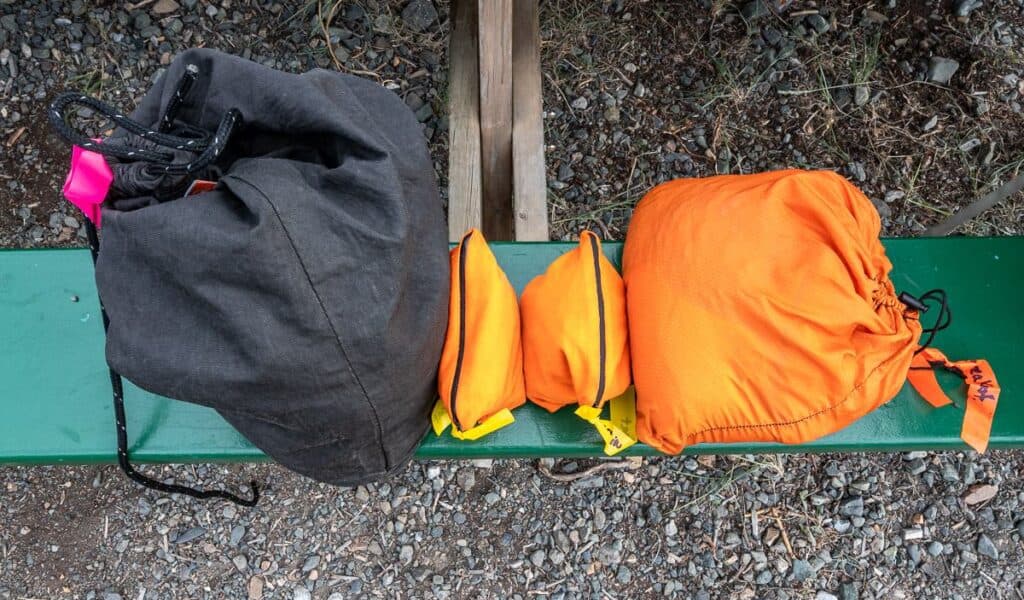
- Zero waste with all meals and snacks packed in high-quality, reusable, food-grade fabric bags. (It also means no fresh food once you’re backpacking as no plastics are used on the trip.)
- Field data collection is done by the guides as they are in some of the most remote, inaccessible and expensive places to get to in the Yukon.
- All employees and contractors are paid a living wage. Employees have access to profit sharing, health and wellness, and training courses.
- Shopping from locally owned and independent suppliers is always the goal for 50% or more of their core products
- Terre Boréale donates 1% of its annual profits to the Yellowstone-to-Yukon Conservation Initiative.
- No more than three remote wilderness trips to the same place per year are offered to limit their impact on the land and the animals living there.
- Groups are never larger than six guests with two guides.
Day 0 – Whitehorse to Kluane National Park to Congdon Creek Campground
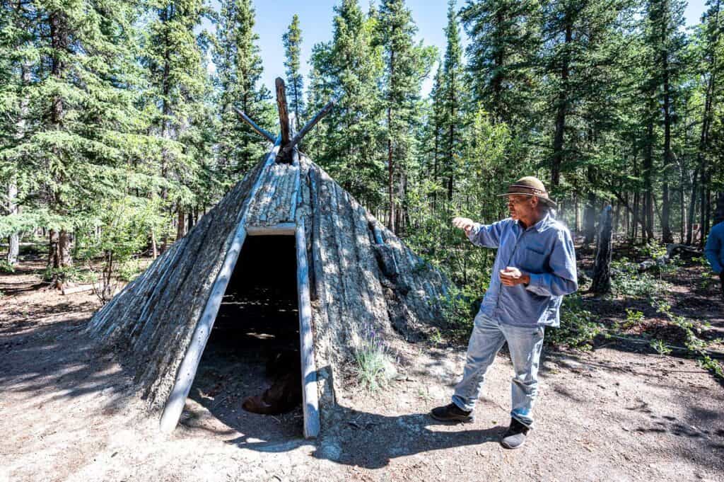
Our trip started with an hour’s drive to the village of Champagne and a stop for several hours at the Long Ago Peoples Place. It is here we learn about Southern Tutchone First Nations culture, along with the structures and tools that they used.
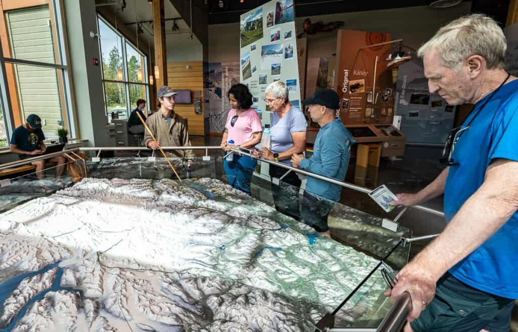
We enjoyed a walk through the forest and lunch featuring fresh bannock before we headed to the Visitor Centre in Kluane National Park. There we checked out the exhibits, and pored over the 3-D map of the route we would backpack – before watching the bear safety video.
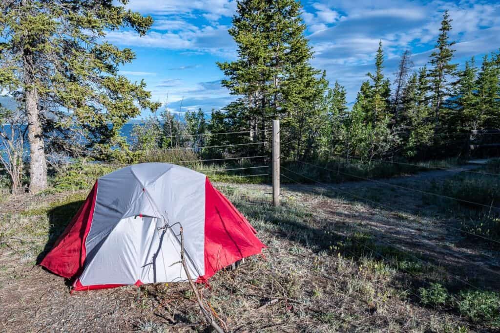
We arrived at the Congdon Creek campground – which I highly recommend if you’re visting the park, by 5 pm. After setting up tents in the electrified campground, and getting organized it was time for a delicious meal of grilled sausages, fresh salads – and home-baked cookies. (After this it would be dehydrated food only for all three meals, save for the first lunch on the trail.)

Day 1 backpacking on the Kluane Colours trip
Starting point: Bock’s Creek trailhead off the Alaska Highway
Distance: 11 km
Elevation gain: 1,017 m
Approximate campsite elevation: 2,150 m
Time needed: Left at 8:40 AM, arrival in camp at 3:15 PM with an hour for lunch
I had been dreading the first day’s hike because of a heavy backpack and a 1,000 plus metres off-trail climb. The night before we’d also been told to expect a 10-hour day. Fortunately, the reality was completely different.
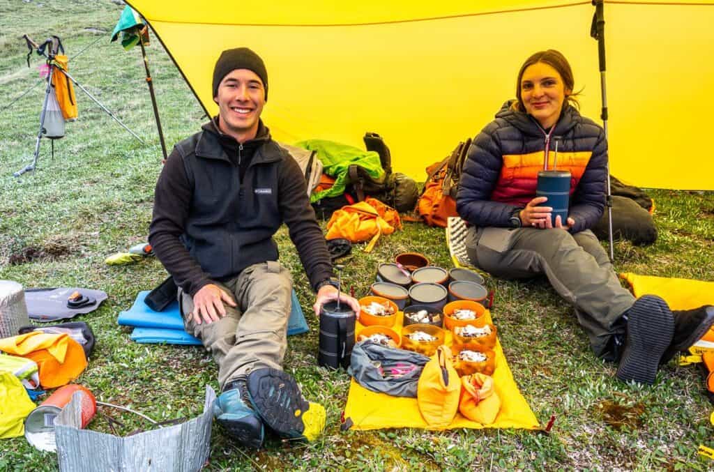
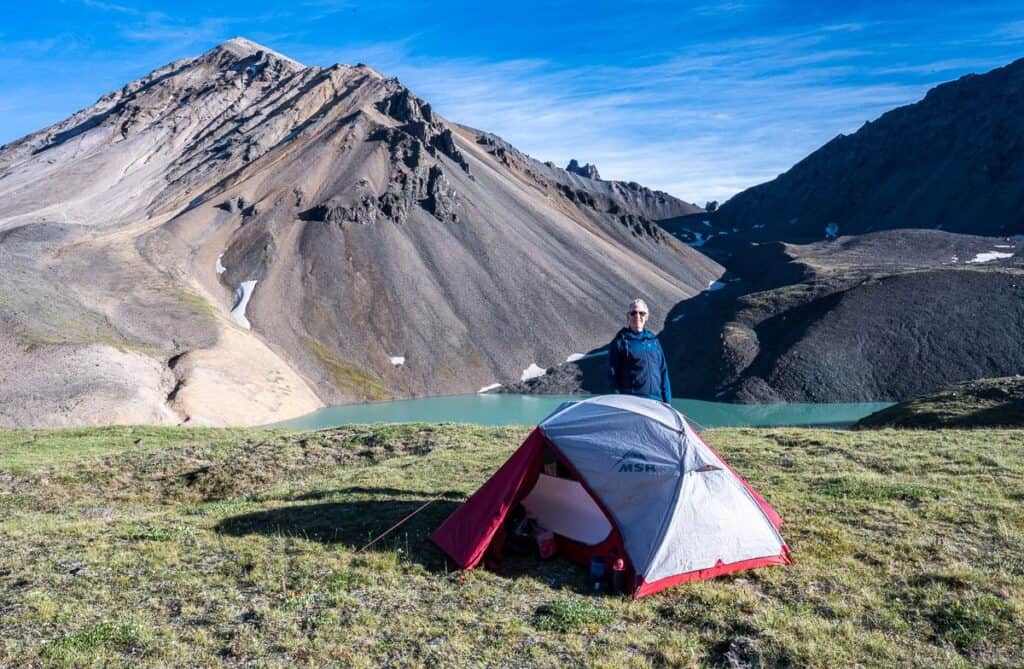
We all carried the group food and extras like propane cannisters and a couple of French coffee presses to the tune of an additional 5.5 – 9 kg each, a not insignificant amount of weight. But the kilometres flew by with the pack sitting well on my body. A long lunch beside a pretty stream broke up the first day’s hike and in no time we arrived at Bock’s Lake.
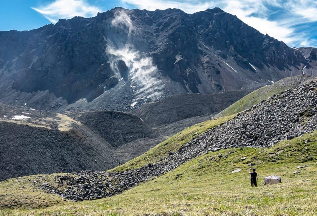
The lake was a huge shock. I don’t think any of us expected to be camping above such a beautiful body of water – with entertainment provided by regular rockfall off a nearby mountain. The only downside was the distance to the eating area and the backcountry toilet set-up. Accessing the lake was difficult too but even after a week of great campsites, it was one of my favourites.
The only time we saw other hikers and campers (four in total) over our week long backpacking trip in Kluane National Park was at Bock’s Lake – as it’s a popular overnight trip, in part because there is the option of a great day hike from the lake.
Day 2 – To the Mount Logan Lookout as a day hike from Bock’s Lake
Distance: 7 km return
Elevation gain: Approximately 400 m
Elevation of the top of the ridge: 2351 m
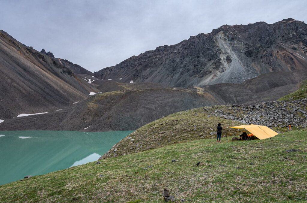
The only day with rain in the forecast was on the second day – and at most we had a few sprinkles. Not bad for a week! It was chillier and our down coats and toques were needed – but on the bright side, there wasn’t a bug to be seen.
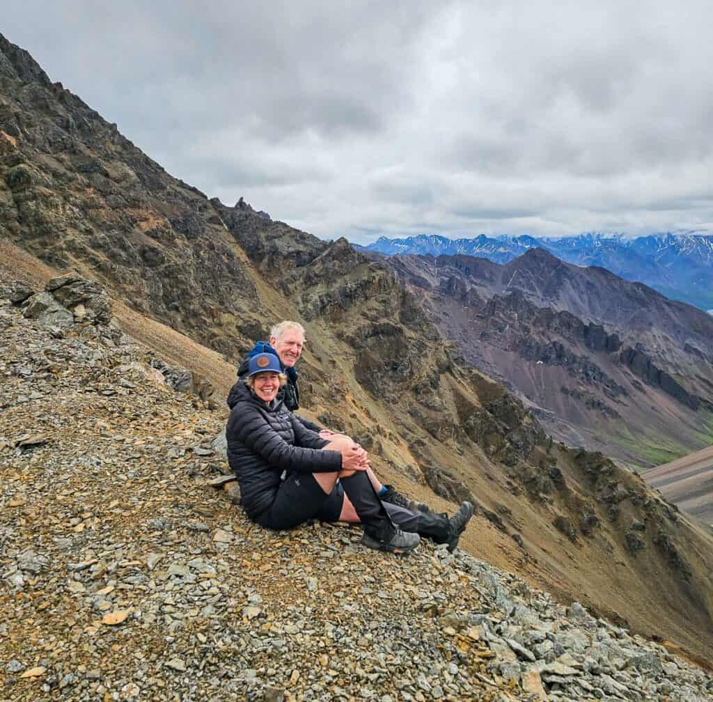
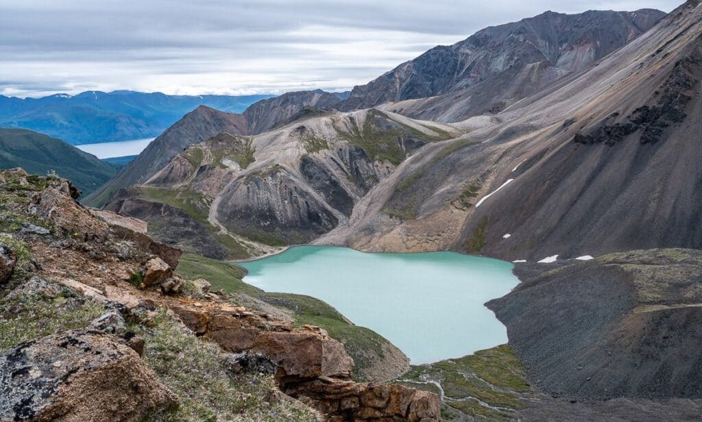
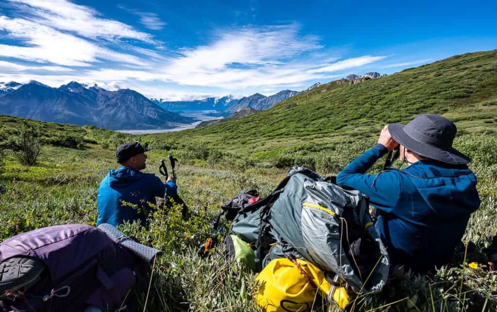
Our plan for the day was to climb up behind Bock’s Lake and access a ridge to a viewpoint – where you can see Mount Logan – the highest mountain in Canada on a clear day. Mount Logan stands at 5,959 metres (19,550 feet) – higher than Mount Kilimanjaro, the highest peak in Africa. (I had seen it one winter on a flightseeing outing.) There was cloud cover over the distant peaks, but that didn’t take away from the awe-inspiring views we had in front of us.
After a good 90 minutes at the top of the ridge, napping, taking pictures, eating lunch, and simply enjoying the views, we made our way back to camp, slowly at times as there was pea-sized scree in places. The wildflowers were also out with lots of moss campion to brighten the descent.
It didn’t take long to get into the groove of camp life once we got back. Clean up. Read. Nap. Do nothing but enjoy the beauty of where we are.
Day 3 from Bock’s Lake to a campsite near the Duke River
Distance: Approximately 8 km
Elevation: +430m, -584 m
Time needed: 7 hours with a long lunch
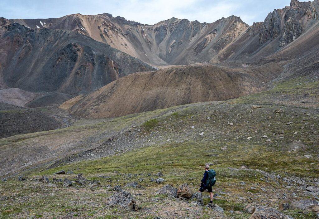
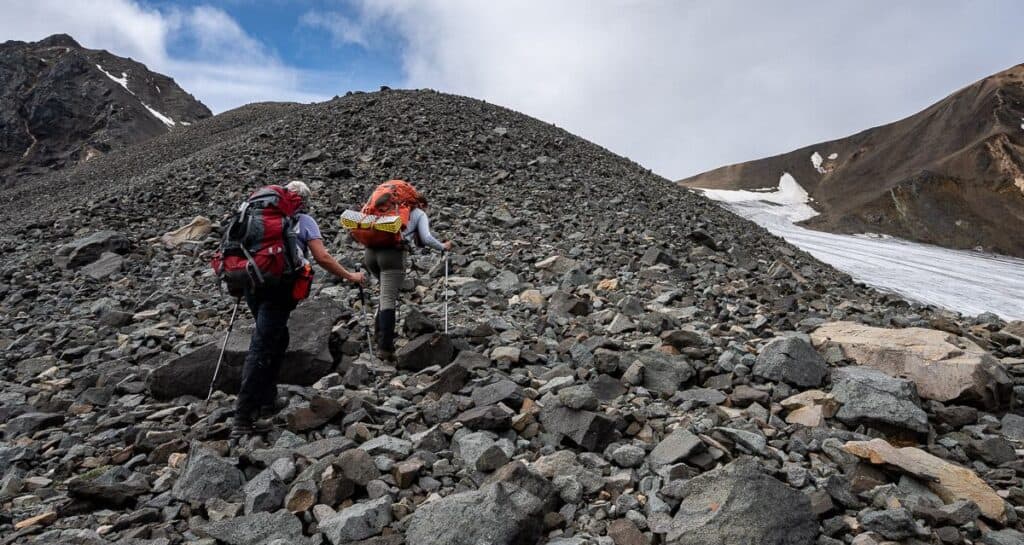
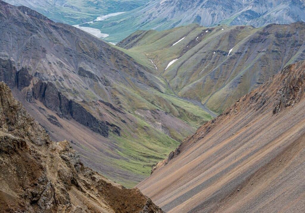
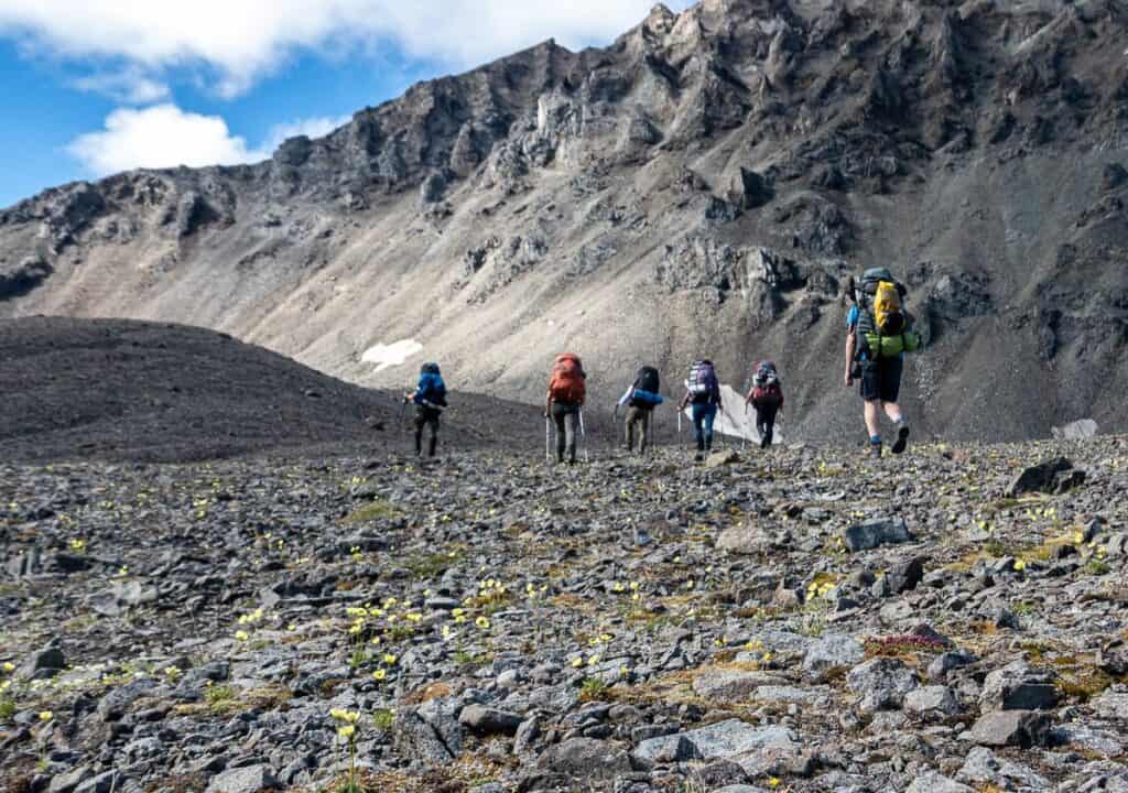
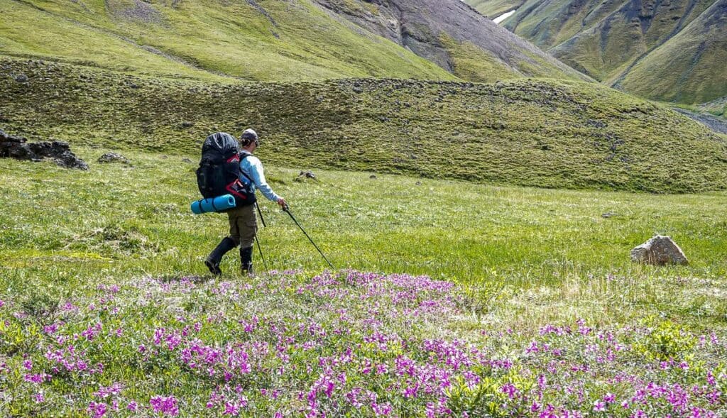
There was so much variety underfoot on the third day – from rocks, to rocks and wildflowers, to moving steep scree, regular scree, and spongy-like grass.
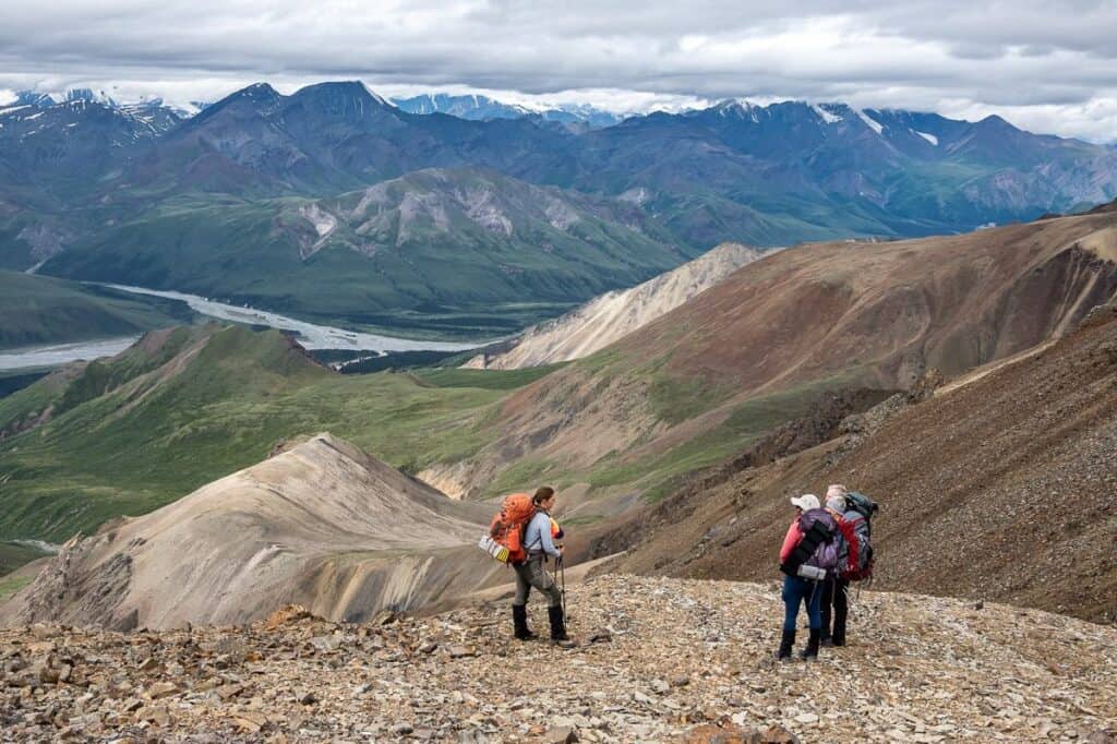
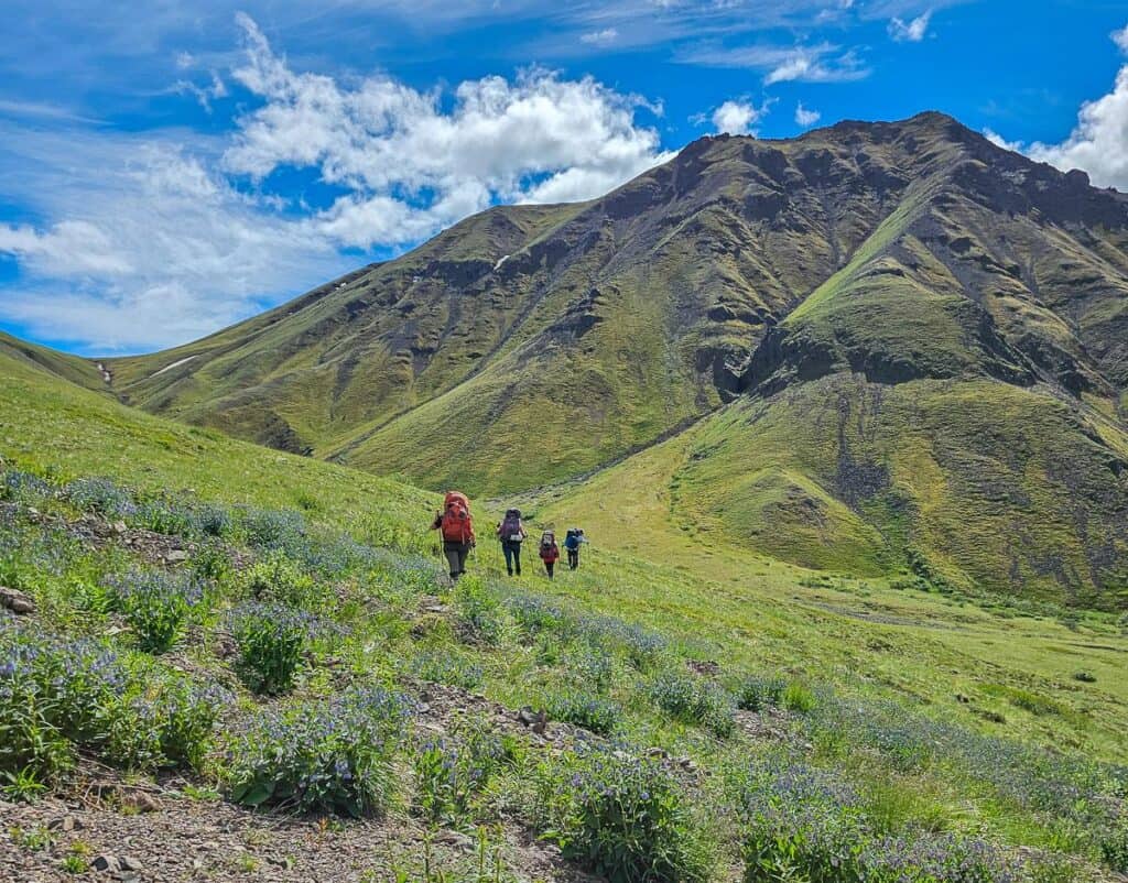
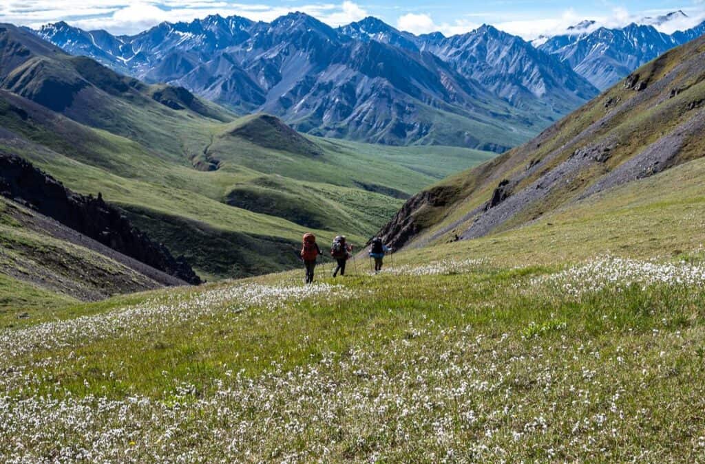
From Bock’s Lake we had to descend steeply to begin the climb up towards the pass. We opted for some low-angle rock to minimize any possibility of rock fall. After cresting the first hump, the wildflowers exploded with loads of tiny yellow poppies I’d never seen before. It was as magnificent underfoot as it was looking at the mountains.
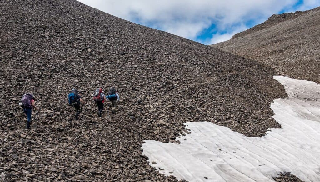
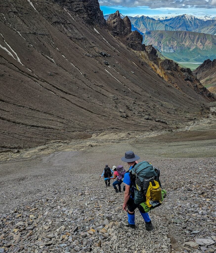
After cresting the pass – which then put us in Kluane National Park – and catching our breath, the fun began. We had to descend a steep moving scree slope – which can be intimidating if you’ve never done it before. If you plant your heel and lean back slightly, you can descend super fast – almost like boot skiing. From there we made our way to a grassy knoll for a well-deserved lunch break.
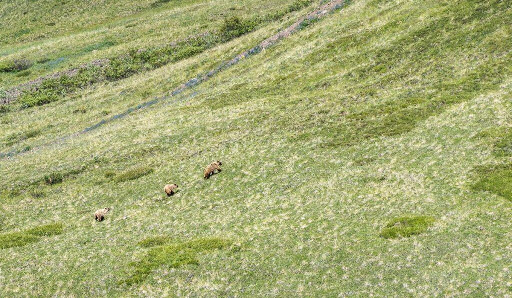
Our goal after lunch was to find a campsite near the Duke River. This was the wildflower-filled spongy-grass part of the hike that took more effort than one might expect. As we turned to descend to the campsite, Kevin – one of the guests spotted grizzles off in the distance. We opted to cross a stream and climb to a knoll to give them some space. From there we could watch them safely.
I stood up after about 30 minutes and Mama bear did a bluff charge (a long ways off) and then took off up the mountain with her cubs – barking at one of them – probably to hurry up. They climbed for ages and finally disappeared at the end of the valley.
We felt that it was safe to return to the campsite – and the rest of the evening passed quietly.

Day 4 – Backpacking in Kluane National Park to the mouth of the Dixon River
Distance: 7.2 km including a climb up to a ridge
Elevation: +250m, -550 m
Elevation of our campsite: 1,380 m
Time needed: 6 hours with lunch
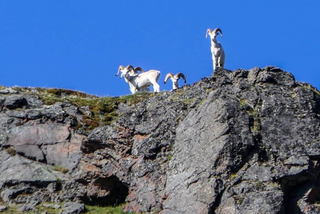
The day started with a climb to a broad pass – where we would have camped if the grizzlies hadn’t left. We dropped our packs after spying the Dall sheep and climbed a ridge with a great view of the Duke River.
From there it was a stiff descent through a dry creek to a grassy knoll for a break. That was followed by about an hour’s worth of hot hiking through willows (my least favourite type of hiking) to a lunch spot on a creek.
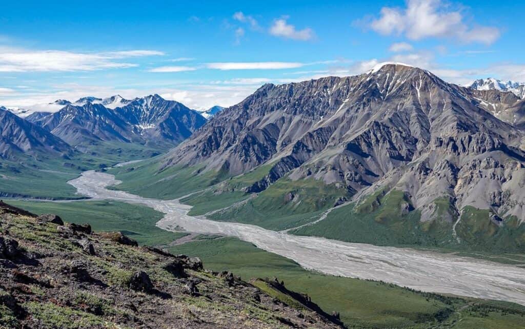
After lunch the hiking was easy with a quick descent down the creek to the Duke River. We made a left at the river and followed the river bed – which was covered in animal prints – to a campsite at the mouth of the Dixon River.
The camping was lovely – on a grassy gravel outwash with great views in either direction.
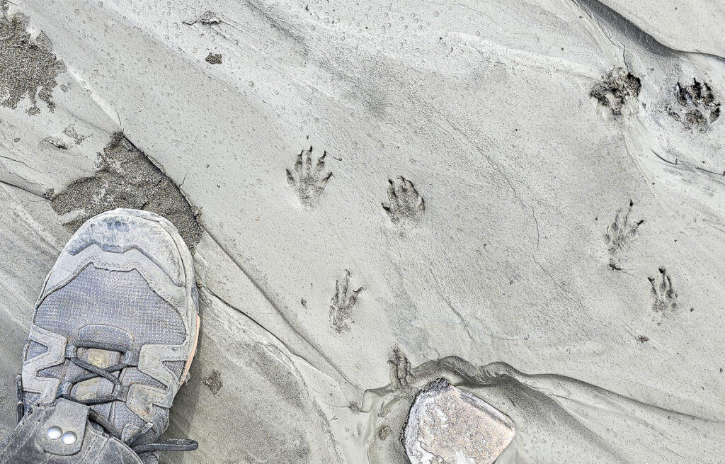
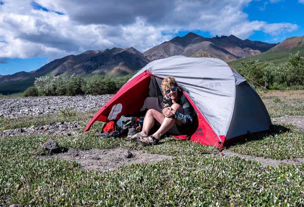
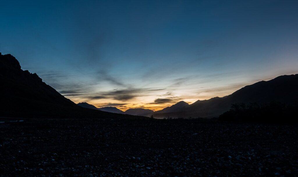
Day 5 backpacking in Kluane National Park
Distance: 7 km
Elevation of camp: 1700 m
Time needed: 4 hr and15 minutes
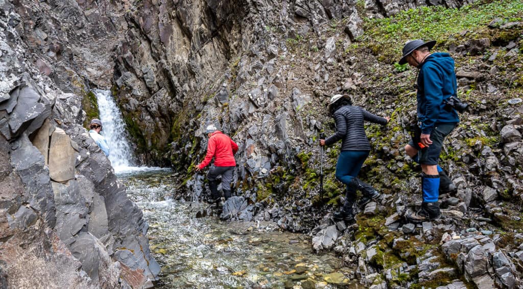
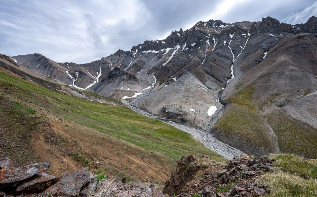
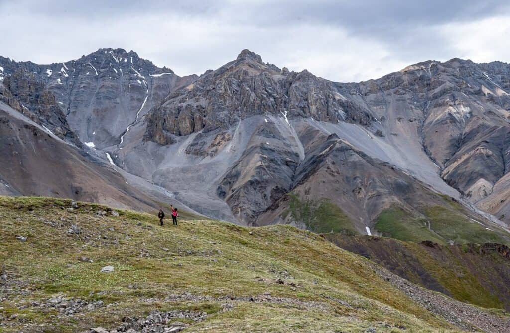
For the first few hours we hiked up a creek, putting on and taking off our water shoes with some frequency – all the time in sunshine.
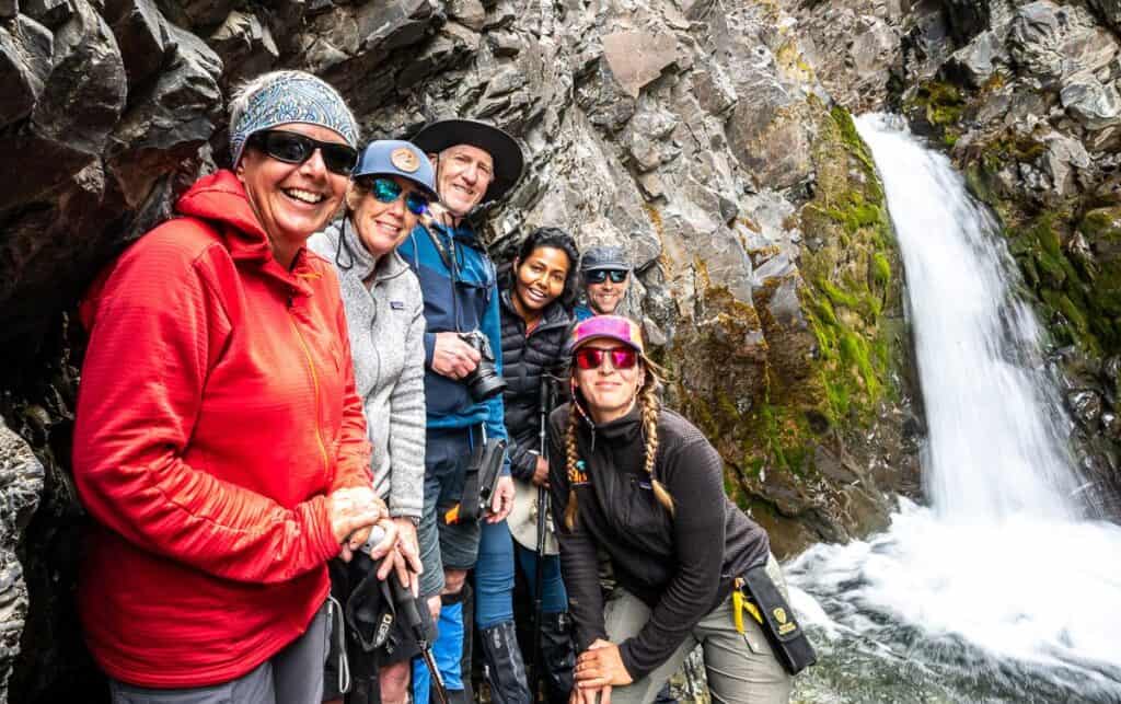
When the creek narrowed, we made a short side trip to see a double waterfall, before continuing to a point where we needed to climb to find our campsite. It was probably the least interesting campsite. But that’s because the wind started to howl and we couldn’t camp up higher where the views are incredible.
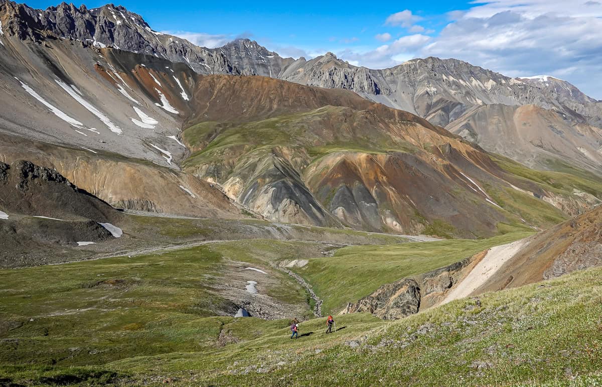
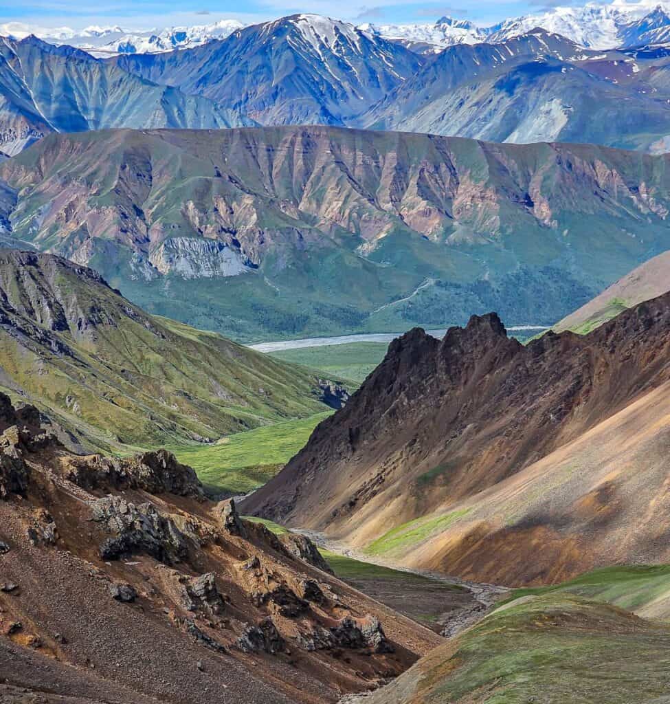
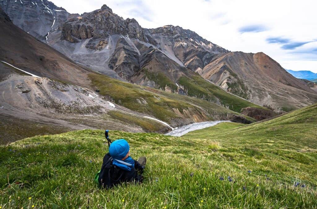
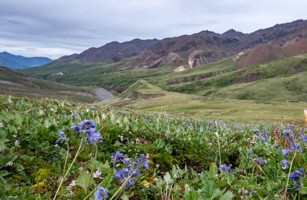
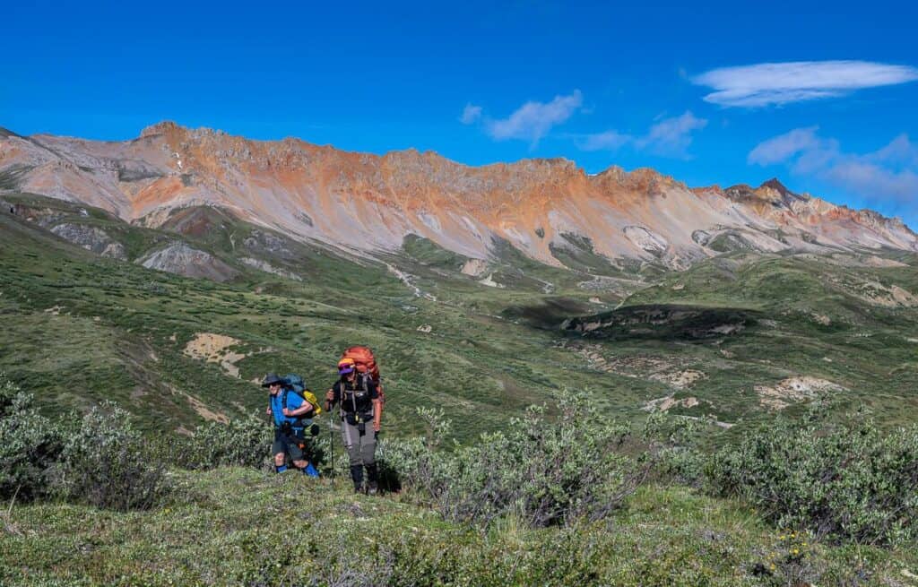
After lunch and a break we took off for several hours of exploring, marveling at the red and burnt orange rocks – along with copious wildflowers. We also checked out the next day’s route up a steep face before retreating to our tents, all because it was so windy and chilly.
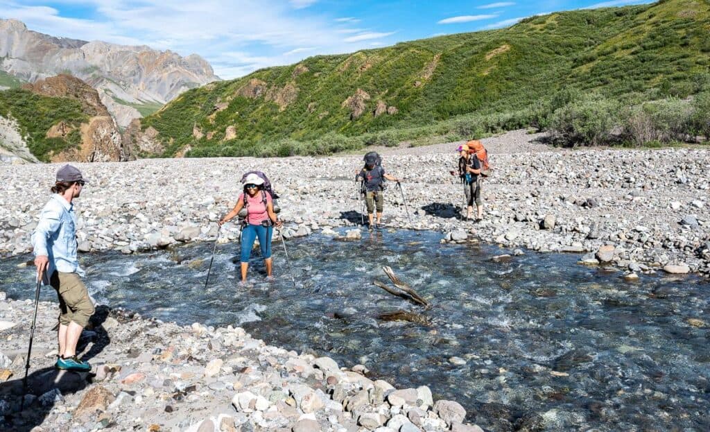
Day 6 – Backpacking in Kluane National Park
Distance: 11.5 km
Elevation: +750m/-750m
Time needed: Approximately 9 hours with a long lunch.
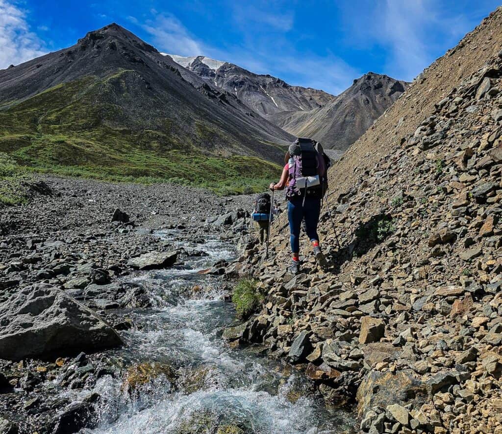
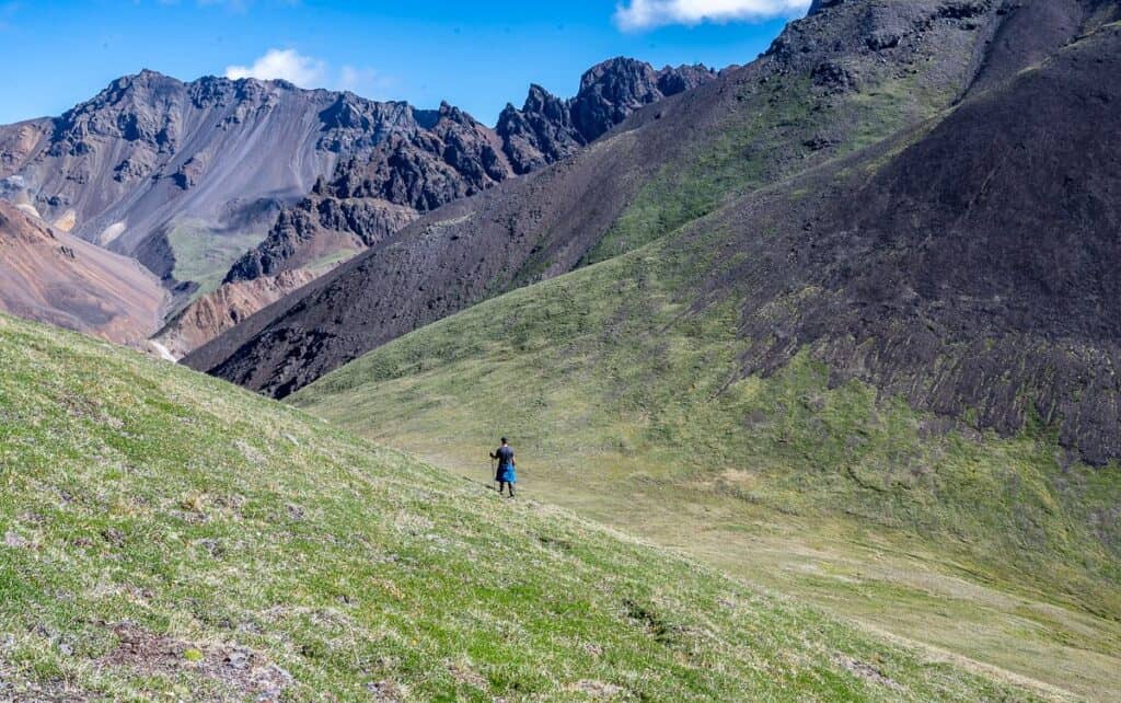
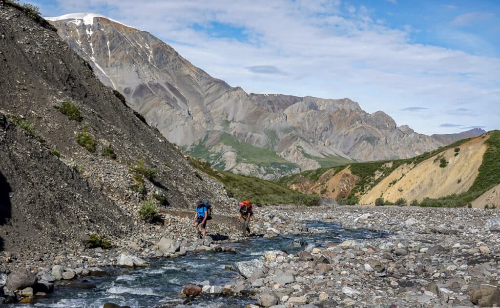
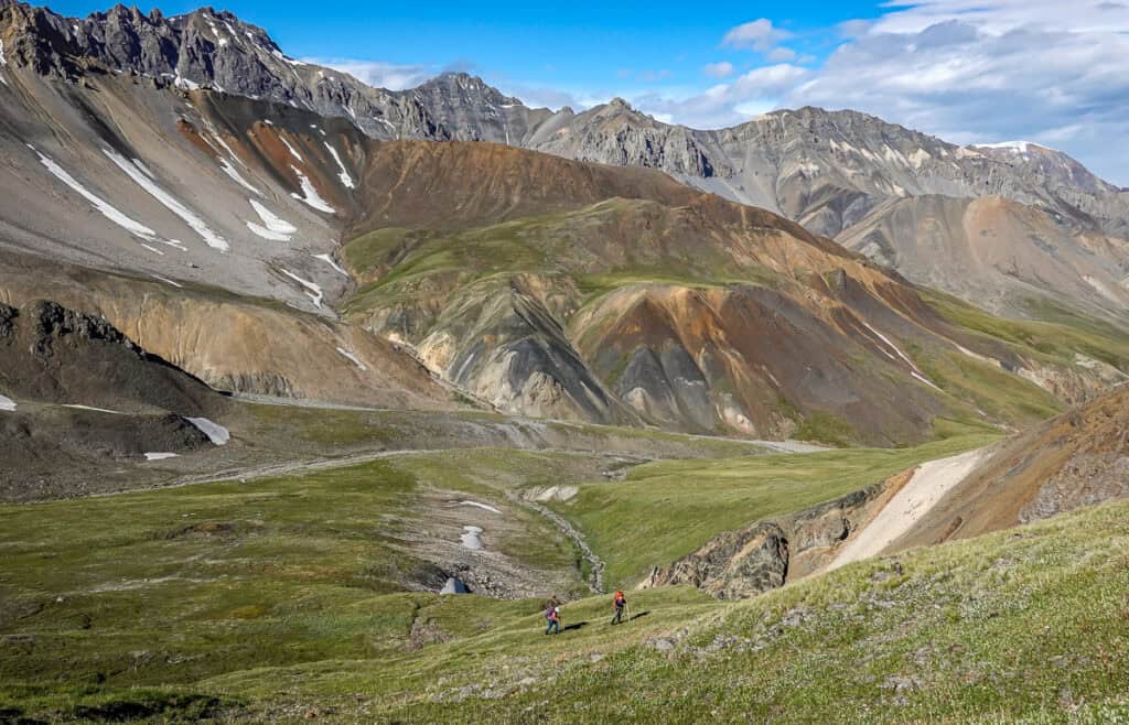
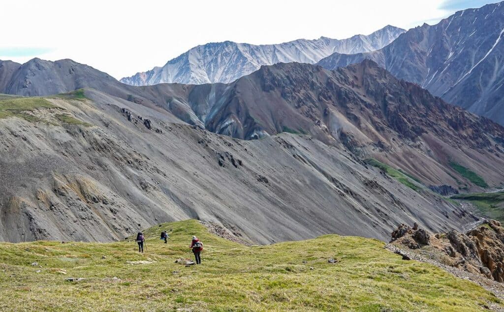
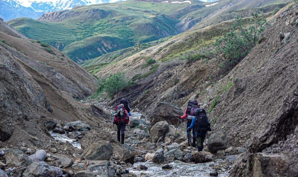
The day started with a hike through boulders beside a stream. Even without a trail we made good time. Next up was a very steep climb to a pass on a new route our guide Marc wanted to check out. Although it was steep, it was safe with no worry from rockfall. And it topped out on an immense broad pass with lenticular clouds overhead and caribou tracks underfoot.
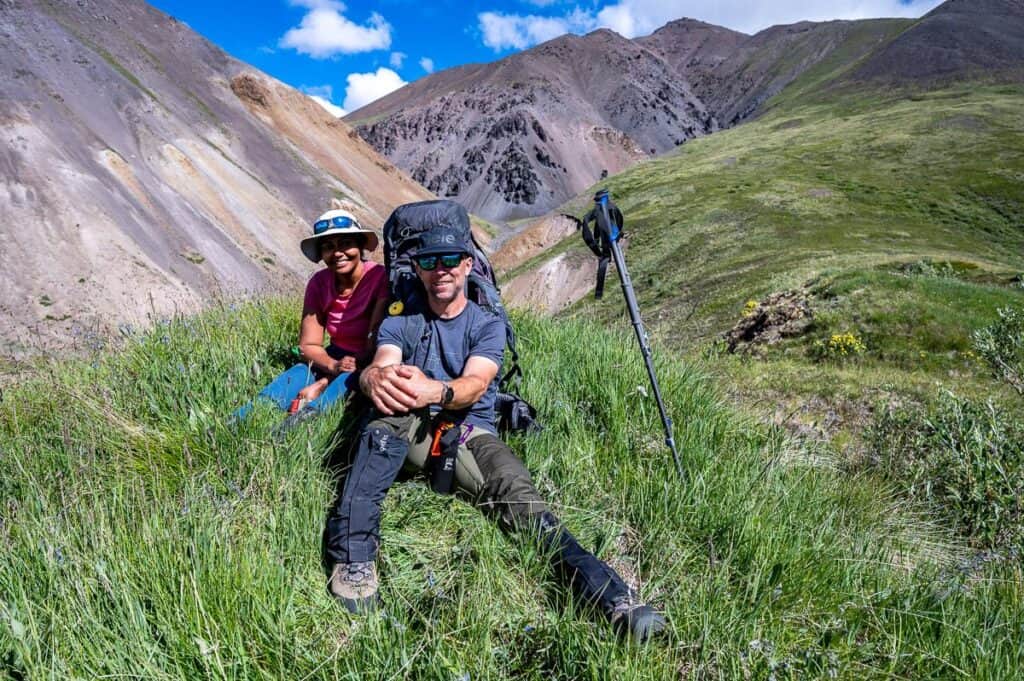
From the pass we had a very steep descent, passing four mining claim posts. My geologist husband marveled at all the altered rock in shades of red, rust and orange and said the old prospectors would have enjoyed exploring this area.
We continued to descend to reach a grassy knoll with altered spires as a backdrop. They were equally interesting to observed from below – which we did as we lingered over a long lunch by a beautiful stream.
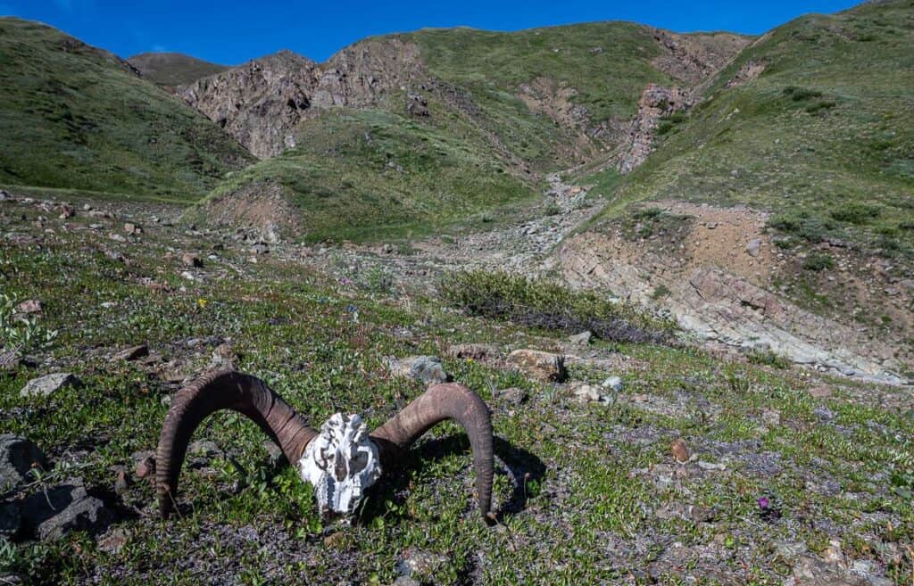
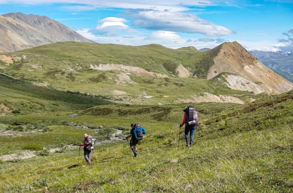
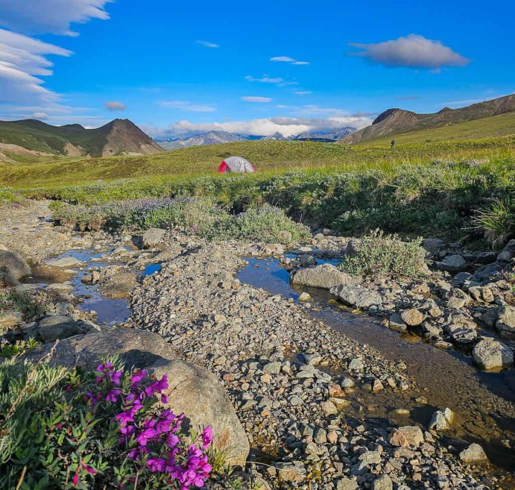
Next up was a hike down a river bed followed by a 400 m climb to reach a broad pass. This is where we saw the Dall sheep skull – and from there enjoyed a grassy descent past a couple of tarns to end at one of the prettiest campsites on our Kluane National Park backpacking trip.


Day 7 backpacking in Kluane National Park
Distance: 16 km
Elevation: +300m/-1150m
Time needed: Approximately 7 hours with breaks
We were up and at it in the morning and out of camp by 8 AM. The first 3 km took us along a river bed – and then up one last hill. After that it was basically all downhill save for a few small inclines near the end.
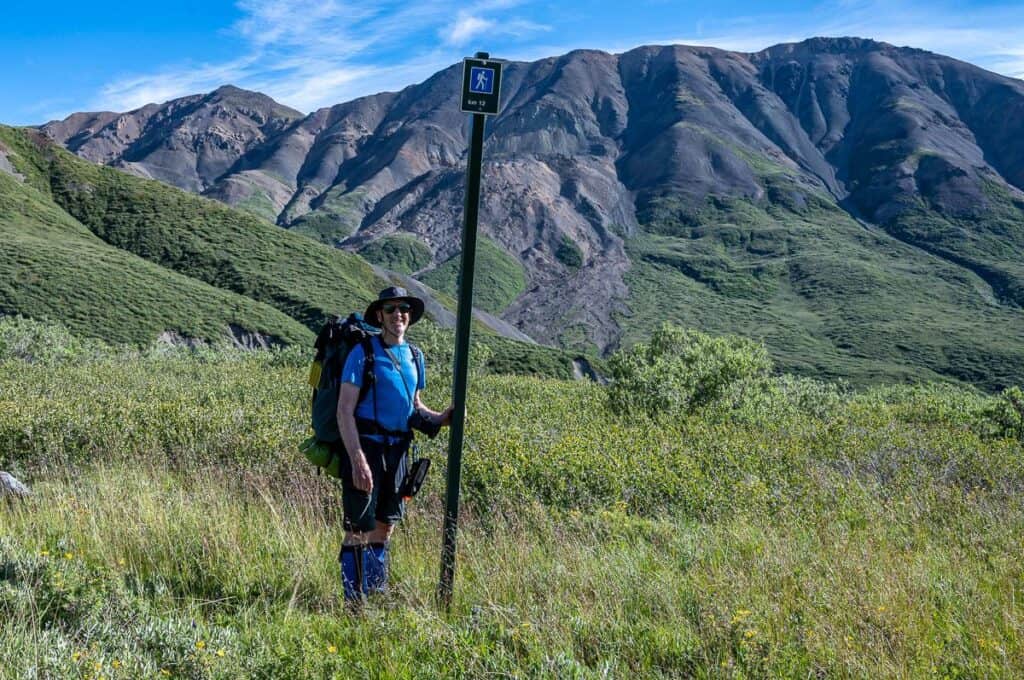
At the top of the last big hill we ran into the first sign of the trip – marking the end of the trail for most – but a sign of civilization for us after seeing nothing for a week.
After our lunch with a view of the Slim River, it was a quick march back to the trailhead where fresh fruit, cold drinks and homemade cookies were waiting. We knocked that part off quickly.
Final thoughts
You won’t go wrong on this one-of-a-kind backpacking trip in Kluane National Park if you love adventure, vast spaces, untouched landscapes, and true wilderness. But do plan to arrive in good shape or you will be hurting!
A few things you’ll need
Map: Destruction Bay (Yukon) 1:50,000
Backpack: A 65L – 75L backpack and a rain cover.
Sleeping: A warm sleeping bag (to -15C) and a sleeping pad that won’t get a hole after the first night out. They offer two-person MSR tents which I found too cozy for John and I so I’d personally opt for more weight and take our 3-person tent.
Hiking poles: Required.
Warm clothes: Down jacket, long underwear, and merino wool zip long-sleeved shirt, warm hat, gloves.
Footwear: Hiking boots should be well broken in but not so old that they are about to fall apart (which I’ve seen twice) and camp shoes, ideally that can double as a water shoe.
Hiking clothes: They don’t recommend shorts but I wore them everyday, sometimes with gaiters. Lightweight hiking pants and a couple of t-shirts. Underwear. Socks.
Raingear: A good Gore-Tex jacket that can fit over several layers and rain pants.
Extras: A few of your favourite snacks to supplement those supplied, toiletries including sunscreen, a towel, a good book, camera and a sense of humour.
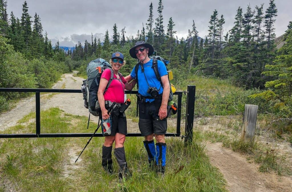
Note: Thank you to Travel Yukon for flying me to Whitehorse and to Terre Boréale for hosting me. We paid for John to join me.
More amazing hikes and backpacking trips to try
- Backpacking the Long Range Traverse in Newfoundland
- A Hike to Grizzly Lake in the Tombstone Mountains, Yukon Territory
- 4 Arctic Hikes in Ivvavik National Park
- Baffin Island Backpacking in Auyuittuq National Park
- Coast to Coast – Canada’s Long Distance Hiking Trails
Click on the photo to bookmark to your Pinterest boards.
