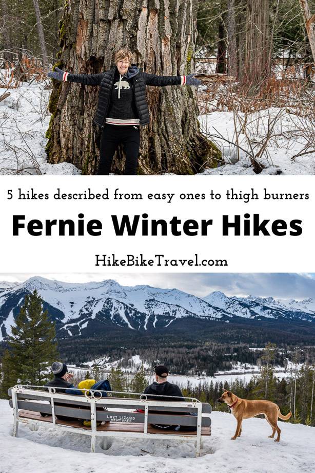
When you think of Fernie, BC in the winter, you likely think of all the great downhill skiing and boarding available at Fernie Alpine Resort. On every other winter visit to Fernie, John and I have made a beeline for the hill – always hoping for one of their epic powder days. However, when you have a few dogs with you, including one that can pick locks and get out of rooms, your focus changes. We decided to spend two nights and three days checking out five Fernie winter hikes.
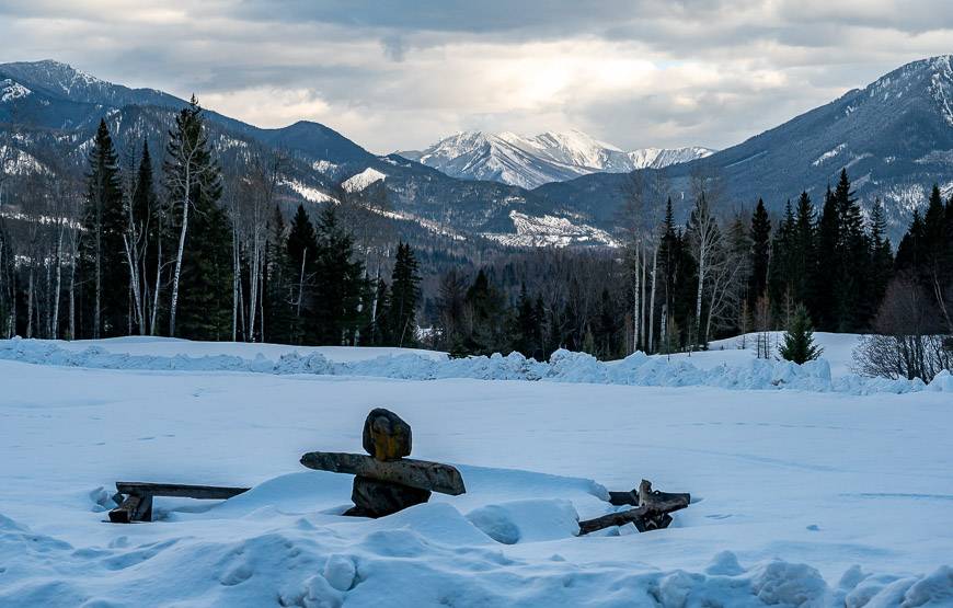
In mid-February, the weather in Fernie can be snowy, rainy, a combination of those too – or if you’re lucky like we were, you can catch a high-pressure system. We delighted in sunny, blue-sky days.
Over the three days we knocked off five Fernie winter hikes, all of which would be good on snowshoes if it was snowier. As it was, we used microspikes on a couple of the trails – something I’d recommend carrying in your pack, no matter what.
The five Fernie winter hikes we did included the lovely Fairy Creek Falls, a hike on Montane Blue, one of the Montane area trails, a short, easy hike on the Ancient Cottonwood Trail, a steep hike up to Mt. Fernie Bench, and a hike on the Gorby Trail in Mt. Fernie Provincial Park.
This post includes some affiliate links. If you make a qualifying purchase through one of these links, I will receive a small percentage of the sale at no extra cost to you. Thank you very much for your support.
Before you go hiking in Fernie
Weather: Check the weather forecast in Fernie before you head out, so you’re properly attired.
Pack: Always carry the 10 hiking essentials. Before you go I recommend reading 15 Winter Hiking Tips to Stay Warm and Safe.
Please: Leave No Trace – and be sure to let someone know where you are hiking and when you’re due out. Consider carrying aGarmin InReach Mini 2in case you have an emergency.
Dogs: Most trails allow dogs but be sure to pick up after them. Carry extra water and snacks for your furry friends.
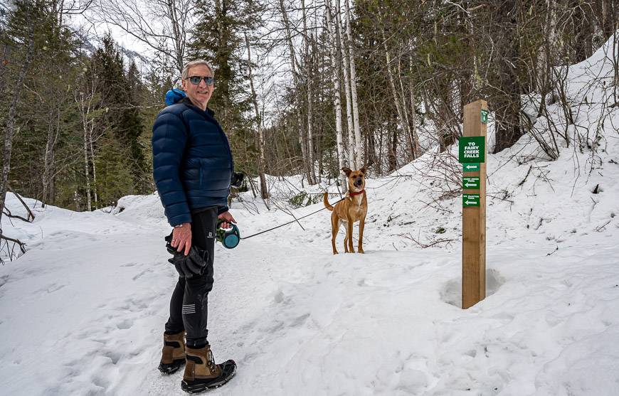
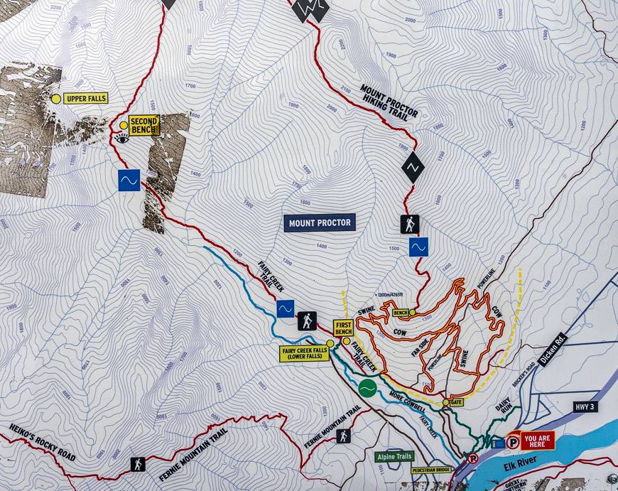
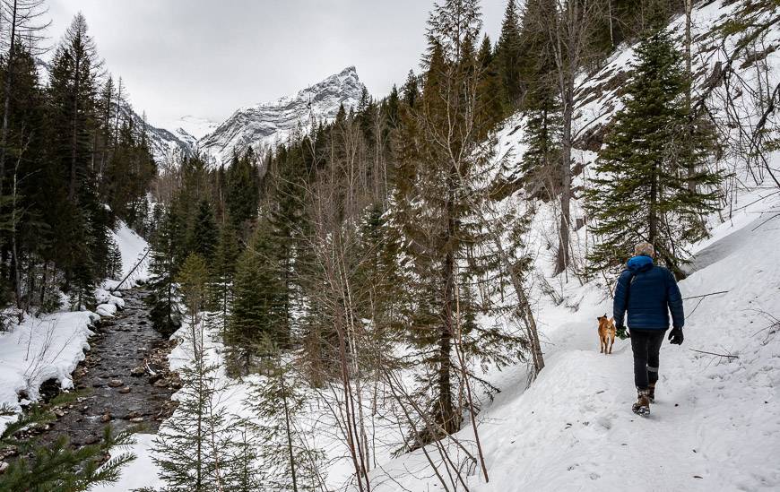
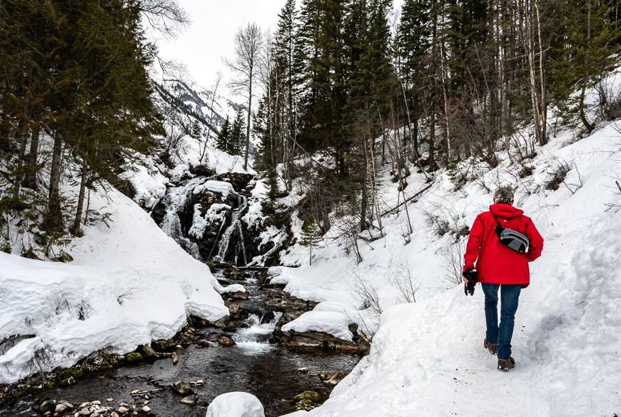
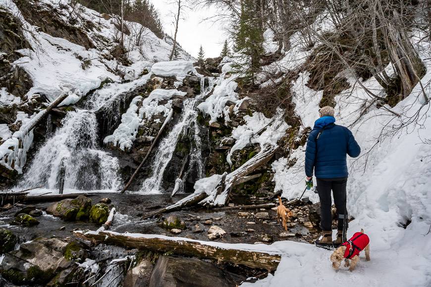
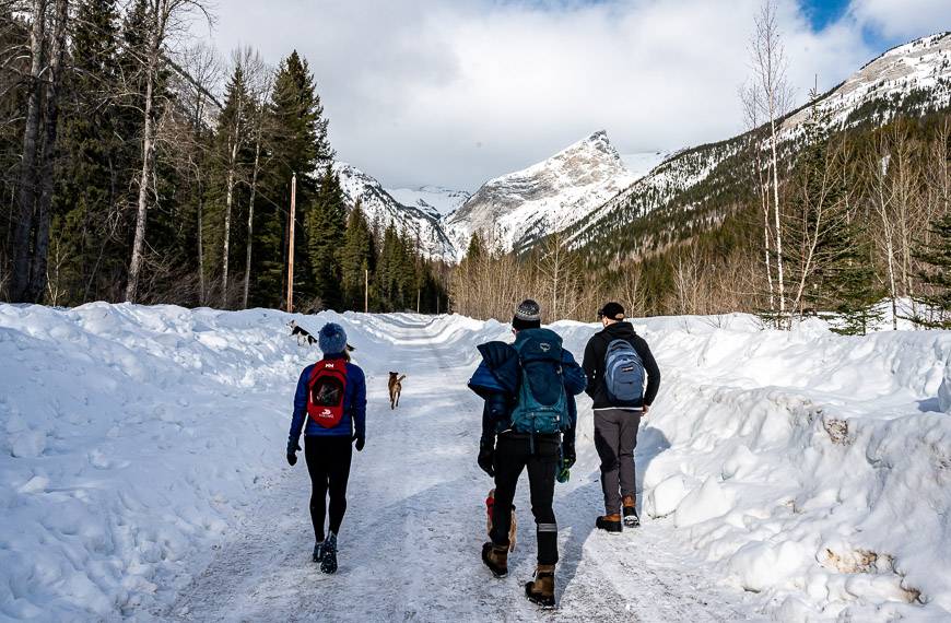
1. Fairy Creek Falls – one of the pretty Fernie winter hikes
The Fairy Creek Falls hike starts from the Fernie Chamber of Commerce & Visitor Information Centre at the east end of town right at the corner of Commerce Road and Highway 3. Inside, pick up a copy of the latest Fernie winter trail map. Fairy Creek Falls is one of the popular, must do Fernie winter hikes.
In the parking lot, you’ll see a large sign indicating the Fairy Creek Falls. The trail is well marked and easy to follow all the way to the falls at the base of Mount Proctor. The first 10 minutes or so aren’t that pleasant because of highway noise. But the minute you turn right to follow the stream, the noise dissipates.
There is the option to continue up to the First Bench and ultimately the Second Bench on Mount Proctor – but assess avalanche risk if you plan to continue.
Total distance: 4.7 km return
Elevation gain: 105 metres
Time needed: 90 minutes – 2 hours
Other information: There is a small sign saying Avalanche Danger – just before the steep hill you must cross to get to Fairy Creek Falls. It’s a short distance, but use caution and assess the snowpack before you start out on this section. If you’re not familiar with avalanche travel, then do not proceed.
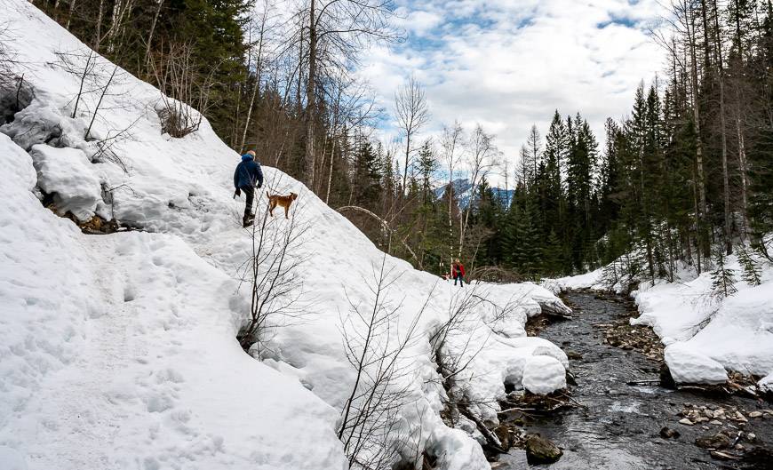
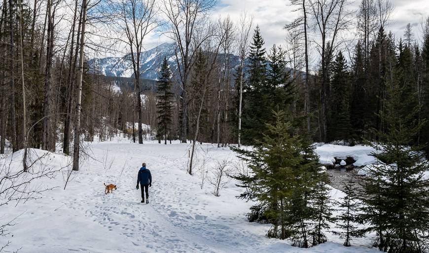
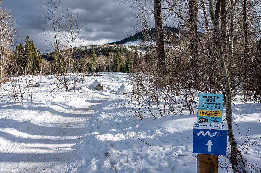
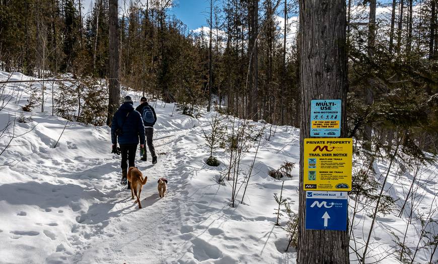
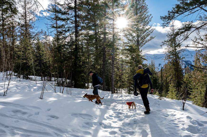
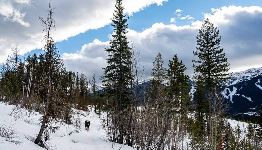
2. Montane Hut
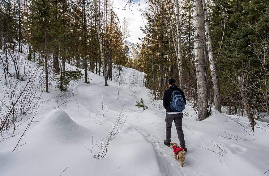
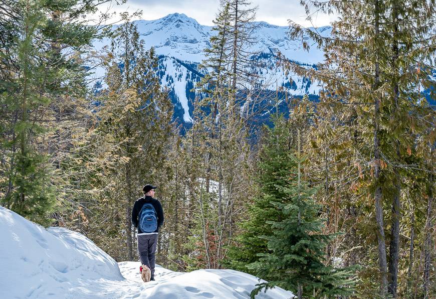
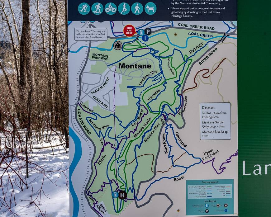
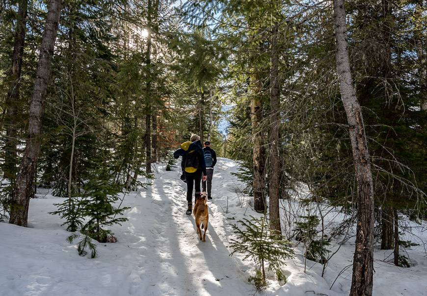
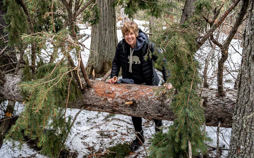
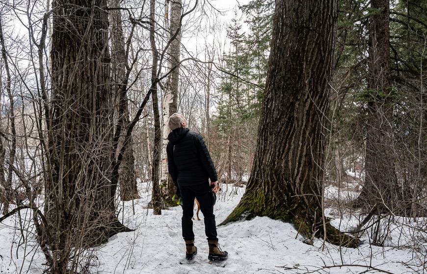
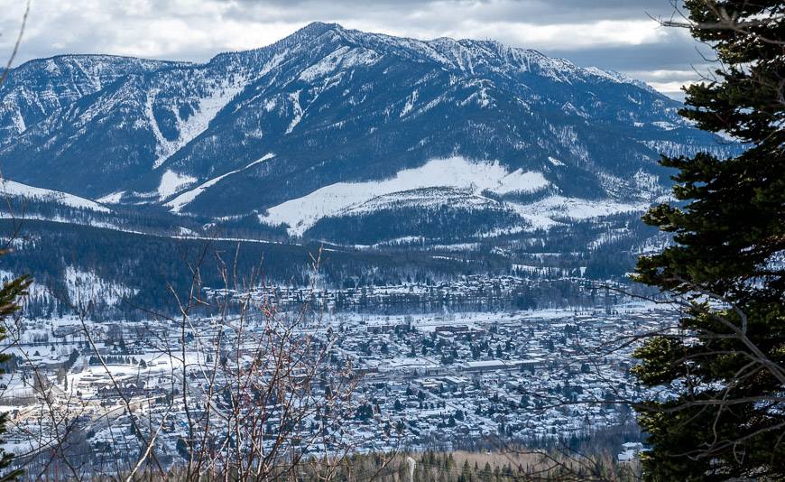
The Montane trails were my favourite of the Fernie winter hikes – primarily because the walking was exceptionally beautiful through open forest with plenty of mountain views. We parked on Coal Creek Road before the bridge.
There is signage at the Coal Creek Trailhead and quite a network of trails that will take you to the Montane Hut or the summit of Castle Mountain if you’re after something longer.
We ended up hiking on the Montane Blue Trail to the hut. It was easy and very scenic. Rather than complete the full loop on the way back to the trailhead, we took the easy Beaver Trail down (not signed anywhere as far as we could tell) ……to a neighbourhood, where we had to ask for directions. The signage just dies. The good news – people were helpful, and it was only a 10-minute walk back to the car via a mix of trails and roads. That’s where the Trailforks app would come in handy.
Total distance: 5.6 km minimum and up to 11 km if you follow the Montane Trail for its full length
Elevation gain: 115 metres minimum
Time needed: 2 – 3 hours
Other information: There is the option to head up Castle Mountain via the Uprooted Trail.
Trail signage: There’s loads of trail signage but much of it is confusing – and it’s often missing where you need it. Download the Trailforks app so you can figure out where you are. I found many places where it said don’t go unless you were a fat biker or on snowshoes, yet there was no other way to continue. And we weren’t damaging trails that were already hard-packed. Someone needs to walk these trails with a person new to the area to appreciate how confusing much of it is.
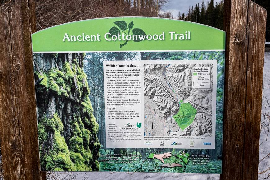
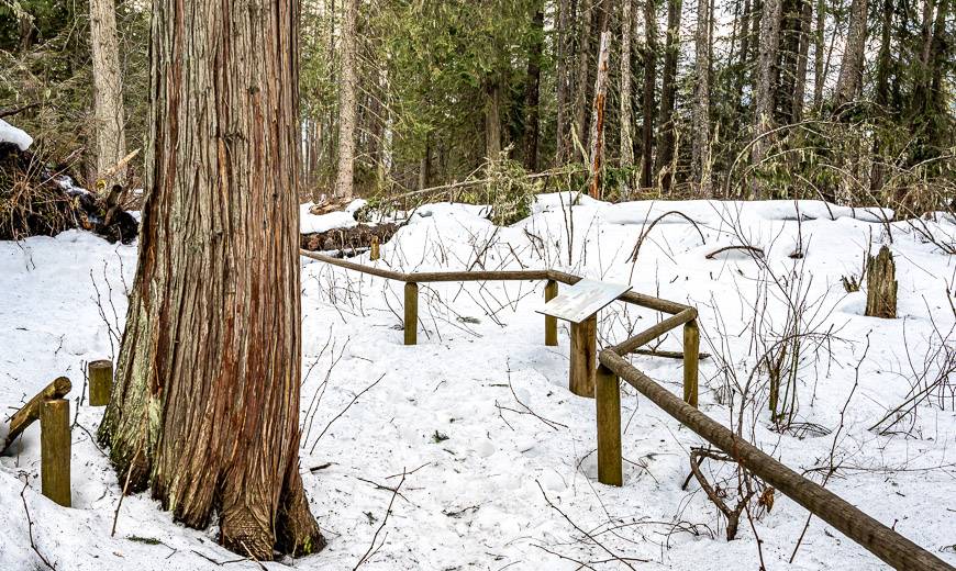
3. Ancient Cottonwood Interpretive Trail – one of the short winter hikes in Fernie
If you want a quick hike that will put in a state of awe, hike the Ancient Cottonwood Interpretive Trail – located about 10 km west of the turn-off to the Fernie ski resort.
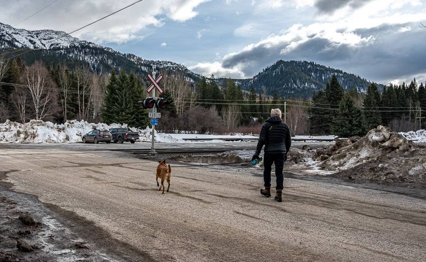
It’s a minute’s drive off Highway 3 via Morrisey Road. Drive across the Elk River, and then the train tracks. There is a big open area after you cross the train tracks where you can park. The trailhead, marked by a sign is after the bridge, but before the train tracks.
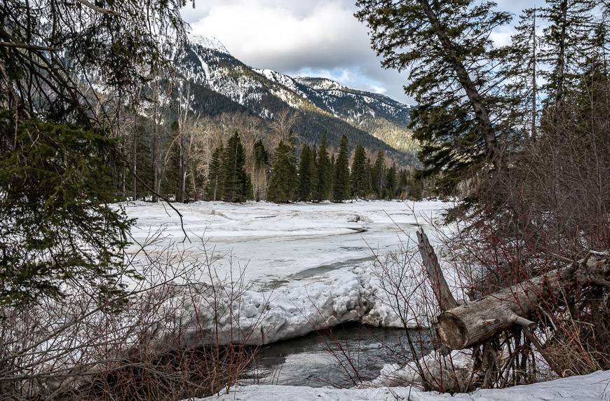
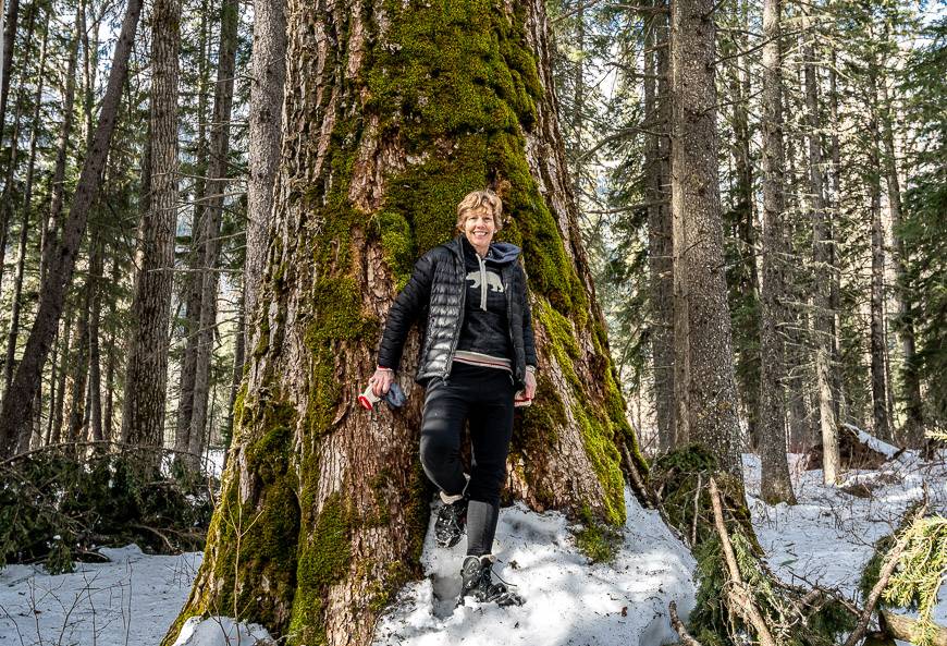
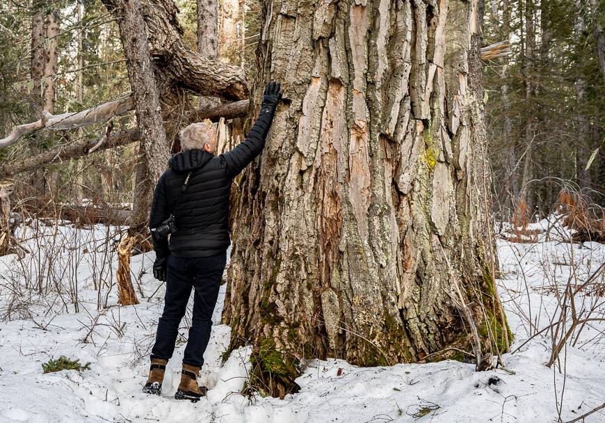
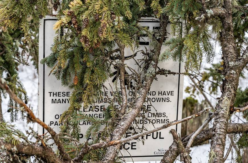
The trail leaves the road and meanders parallel to the river to a grove of the oldest and biggest black cottonwood trees in the world. The trees are thought to be more than 400 years old. Some sported a 10-metre trunk circumference. This grove of cottonwoods was just discovered in 2003. They are now protected through the Nature Conservancy of Canada.
I find massive trees like these black cottonwoods to be magical. I can’t begin to imagine what they’ve seen in their lifetime. Craning my neck, I look up – perhaps 100 feet and wonder who calls these trees home. Apparently, the endangered western screech owl is just one of the bird species that nests in the trees. The other notable feature is their deeply furrowed bark. You can’t help but run your hands over it.
This may be a short trail that won’t get your heart rate up, but it’s one that I highly recommend doing.
Total distance: Approximately 2 km return
Elevation gain: Nil
Time needed: 30 minutes – 1 hour
Other information: You can hike this trail any day of the year but do not go near it on a windy day. The chances of being injuring by a falling tree limb would be high. The trail has several trees down, so you need to be able to climb over and under. Not a place for strollers or wheelchairs!
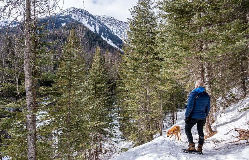
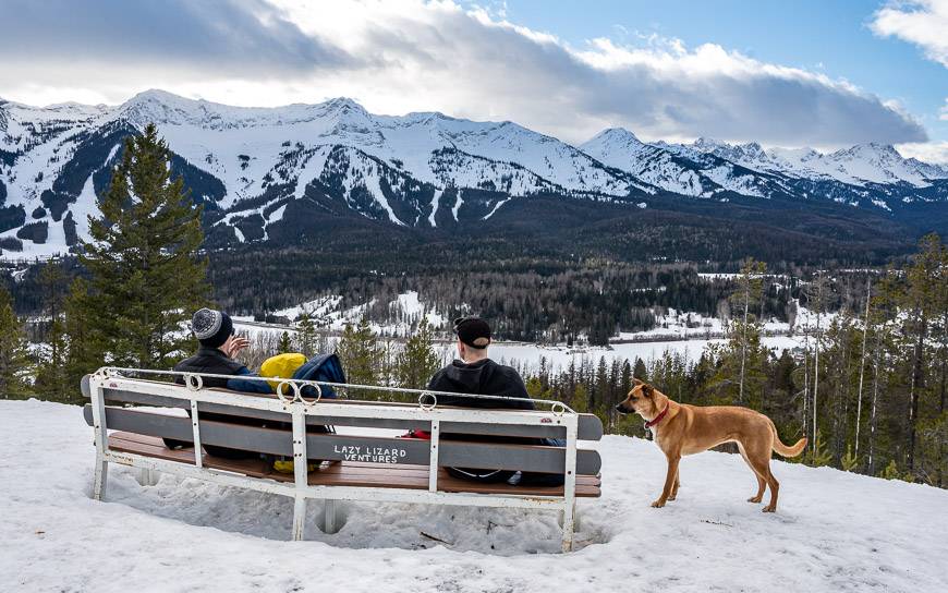
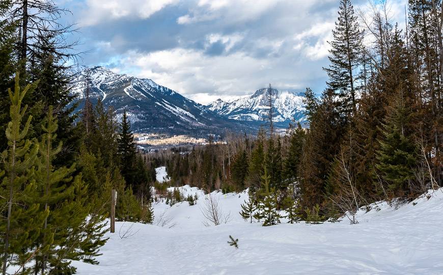
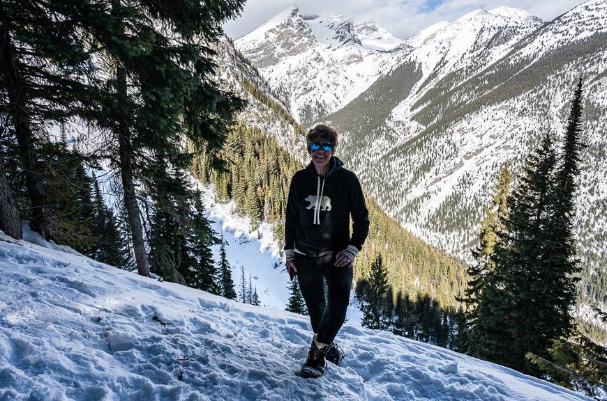
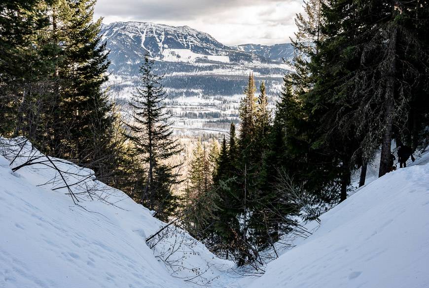
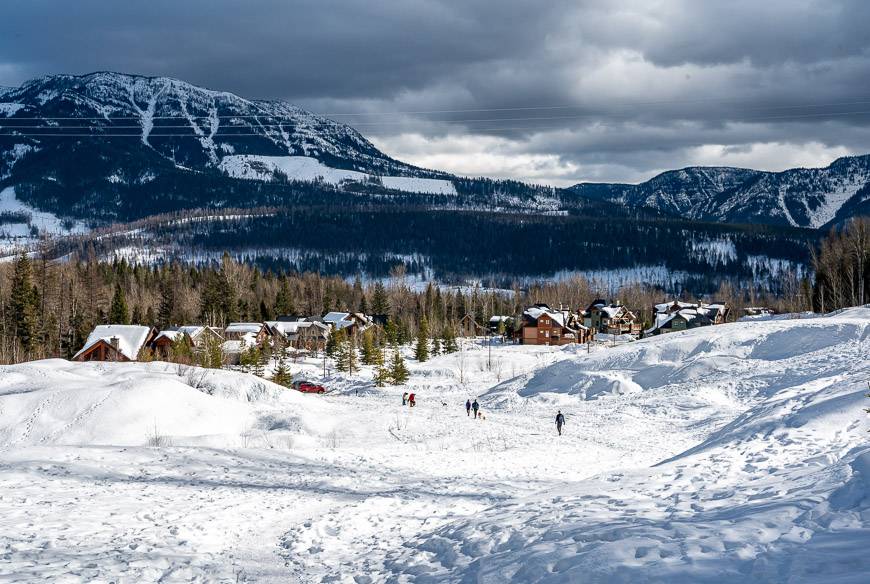
4. Mount Fernie Bench – one of the steepest Fernie winter hikes
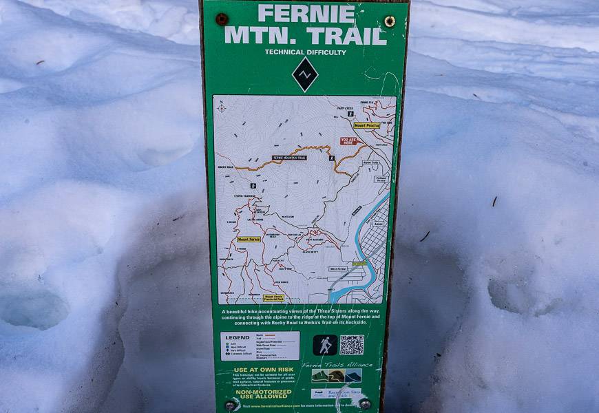
The Mount Fernie Bench hike is a great one for a workout. From the parking lot, you head up to a road for about 75 m and then turn left into the woods beside a sign marked Fernie Mtn. Trail. The path was boot-beaten when we went up so it was easy to follow. After a fresh dump of snow, it would likely be more challenging.
This is a trail the backcountry skiers love as well. They schlep their equipment up and then ski or board steeply down through the trees.
Be prepared to climb most of the way. It is a steep grade on a narrow trail through the trees. About a third of the way up, you get some peek-a-boo views of Fernie but nothing else until you reach the bench. I would encourage you to bring icers of microspikes on this hike. The views from the Bench of Three Sisters and Mt. Batman are excellent.
Distance: A rough guess of 4 km return
Elevation: Approximately 550 metres
Time Needed: 2.0 – 3.0 hours
Other information: This hike is a popular workout hike for locals. Don’t go above the bench which is buried in snow in mid-winter. It’s also the first big opening you reach with a view and there is a sign pointing to Mt. Batman. If you go higher, you get into avalanche terrain.
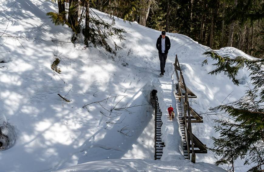
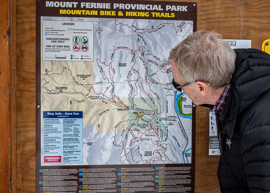
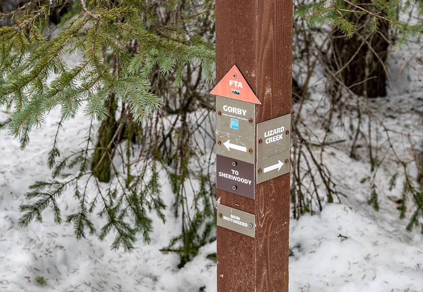
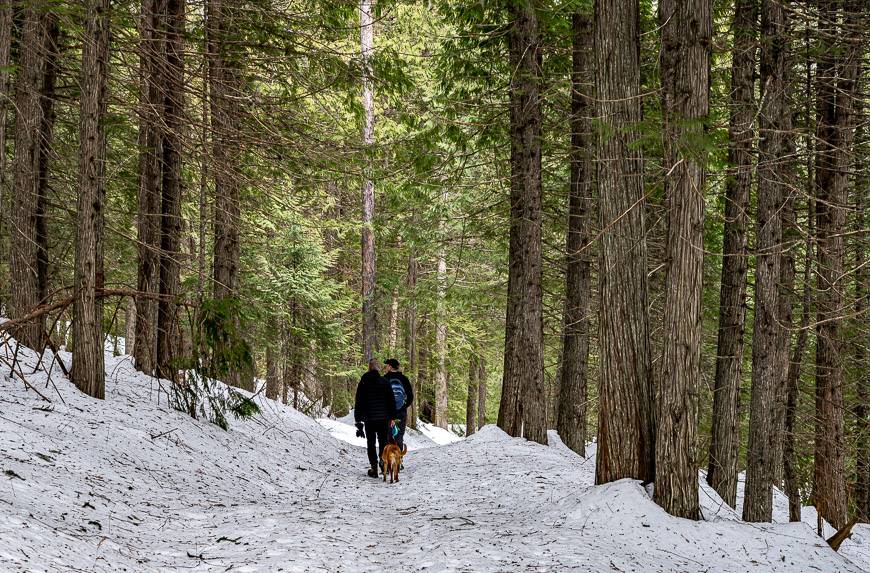
5. Mount Fernie Provincial Park hiking
If you have a look at the Fernie winter trails map, you’ll see a network of trails in Mt. Fernie Provincial Park, accessed off Mt. Fernie Park Road – the one that leads to Island Lake Lodge. There are three parking areas and all are easy to find once you are on the road.
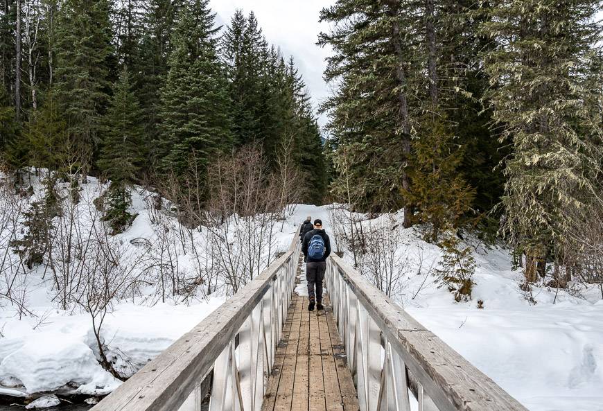
We started at the Gorby Bridge trailhead with the intent to do a loop hike – which as it turns out is not marked on the Fernie winter map.
We followed the Gorby Trail to a turnoff onto Verboten. The trail – and I use that word loosely – did nothing but climb – though there was never a marker to give any indication that we were on Verboten. Without snowshoe tracks to follow, you’d just feel like you were in the trees with no idea of where to go. We ended up turning back and retracing our steps back to the Gorby Trail.
I’m so glad we did because the Gorby Trail ends up taking you into some wonderful sections of forest with majestic trees. The downside is that after all our hiking, we were running out of time to do the loop that would include Old Goat, Woody, Sherwoody and back to the trailhead. But from what we saw, this is a lovely trail, but you probably need 3 hours to do it justice.
Distance: Good question. I didn’t use Trail Forks and the signage never gave us distance but I’m guessing we did about 6 km return.
Elevation: If we’d just stuck to the Gorby Trail, I’d call it gentle – with perhaps 100 metres gained to the intersection with Old Goat.
Time needed: 2.5 – 4 hours
Where to stay in Fernie
As expected, you will find plenty of accommodation up at the ski hill. Snow Creek Lodgeis one that offers ski in, ski out access. You can also book accommodation through Fernie Central Reservations.
In town, check out theTiny Homes by Snow Valley Lodging.
We ended up staying in a lovely B&B – Birch Meadows Lodge, run by a Swiss couple located about 10 minutes out of town. Views were spectacular and it was very peaceful. The downside is no WiFi in the cabins.
Support of Fernie’s winter trails
From an outsider looking in, I found the myriad of organizations looking after trails to be a tad confusing in Fernie. Were we supposed to pay or donate to use the trails? Apparently, most of the trails are run by volunteers and they always need infusions of cash. So yes, is the short answer. They have QR codes at various trailheads to take you to payment pages. Otherwise have a look at some of the following websites.
The Coal Creek Heritage Society looks after the cross-country and multi-use trails at the Montane Trail Network along with the Ridgemont Trail Network.
The Fernie Nordic Society looks after the Elk Valley Nordic Centre and the Fernie Golf Course.
The Fernie Trails Alliance looks after trails that are on Crown land, in BC Parks, the City of Fernie, Island Lake Lodge and more.
What to pack on your winter hikes in Fernie
I would recommend packinga pair of microspikesin case you run into icy trails. I always have a pair in my pack, just in case.
Take somehand warmers– especially in Fernie’s climate which can be very damp in winter.
Apair of gaiterswould come in handy on a snowy day.
Some people might like the extra support offered by apair of collapsible hiking poles.
Map showing approximate location of the Fernie winter hikes
Further reading on things to do in the winter in the Kootenays
- Panorama Resort Activities Winter Fun Guide
- Things to Do in Golden BC in Winter
- 9 Fun Things to do in Invermere, BC in Winter
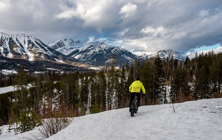
- Where to Go Cross-country Skiing and Snowshoeing in Fernie
- Wapta Falls Hike or Snowshoe in Winter
Click on the photo to bookmark to your Pinterest boards.