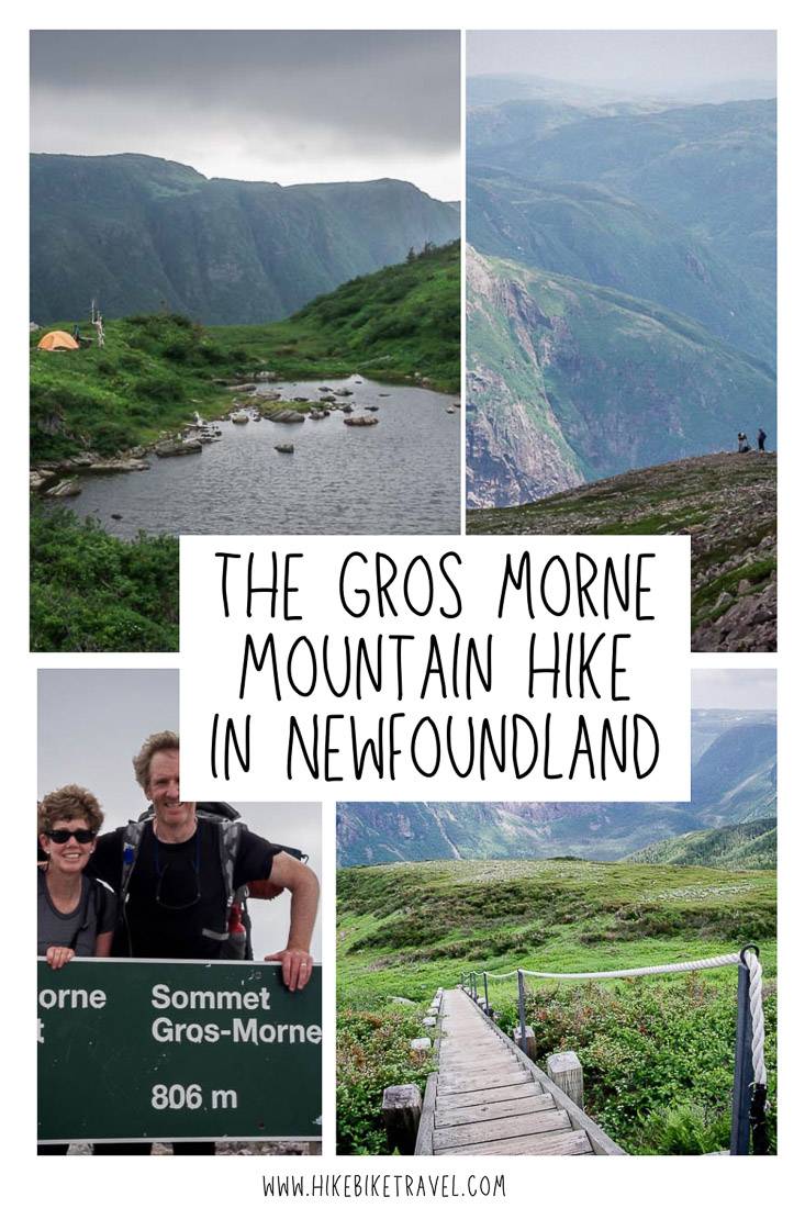
A hike to the summit of Gros Morne Mountain, the second highest peak in Newfoundland after Lewis Hill, is a rewarding and challenging 16 km return outing.
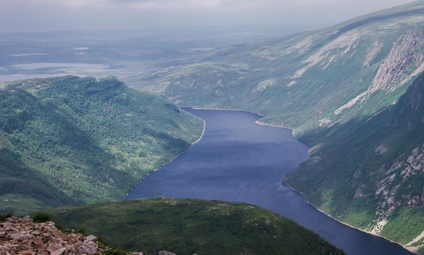
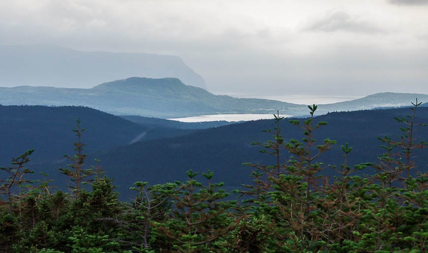
From just below the summit of the 806-metre-high mountain, you can enjoy phenomenal views of Ten Mile Brook Pond, the fjord-like arms of Bonne Bay, and the Long Range Mountains, providing of course that the fog hasn’t rolled in to obscure everything.
You can do the Gros Morne Mountain hike on its own (which is what most people do), but it’s also possible to do it as an add on on the last day of the Long Range Traverse.
You will have to change your mindset by the Ferry Gulch Campsite, because instead of a hike down to the parking lot you have considerable vertical to achieve the Gros Morne Mountain summit – followed by the full descent.
Still, it’s well worth doing but you have to know you’ve just added at least another three hours of hiking to your day.
This post includes some affiliate links. If you make a qualifying purchase through one of these links, I will receive a small percentage of the sale at no extra cost to you. Thank you very much for your support.
Gros Morne Mountain hike summary
Distance: 17 km (10.6 miles) return
Elevation gain: Approximately 650 m or 2,133 feet
Time needed: 6 – 9 hours
Level of difficulty: Hard
Best time to go: Early July until mid-late September, depending on when the snow flies.
Trailhead location: It’s located 7 km south of Rocky Harbour on route 430.
Trail closure: Every year the summit loop on Gros Morne Mountain is closed beginning on May 1 and reopening on the last Friday in June
Dogs allowed: Dogs are not permitted on this hike.
Campsite: There is a primitive campsite at Ferry Gulch.
Go prepared: It’s usually cooler and windier on the mountain so be sure to pack some warm clothes, a wind breaker, and a rain coat. Take at least 3 L of water per person.
Good to know: If you do your part and stay on the trail, you will protect a fragile environment, especially near the top as you enter a slice of Arctic tundra.
For more information: Visit the Gros Morne National Park website.
Gros Morne Mountain hike (as part of the Long Range Traverse)
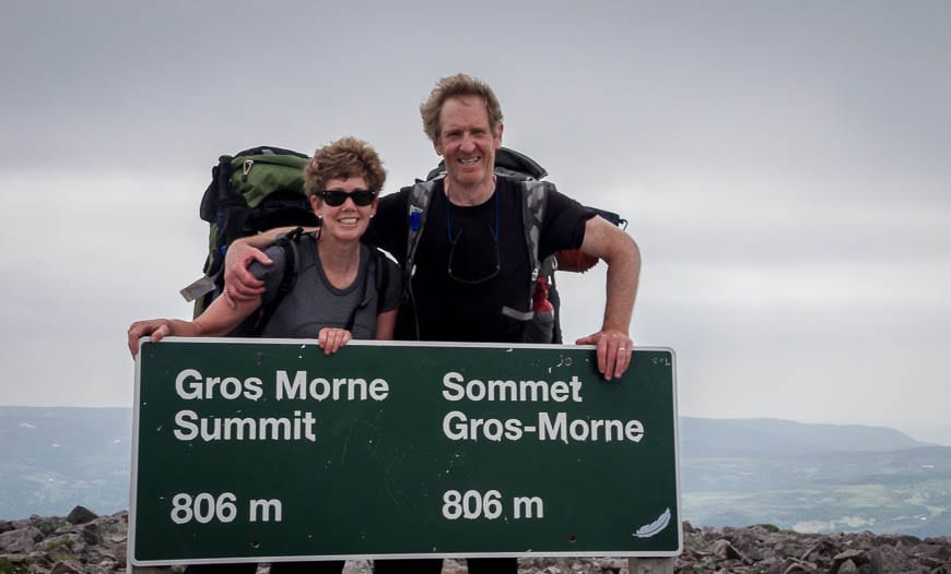
John and I did the hike to the summit of Gros Morne Mountain on the last day of our Long Range Traverse. Instead of continuing down to the parking lot once we got to the junction by the Ferry Gulch Campsite (like most people do), we started climbing on a route that people use to descend Gros Morne Mountain.
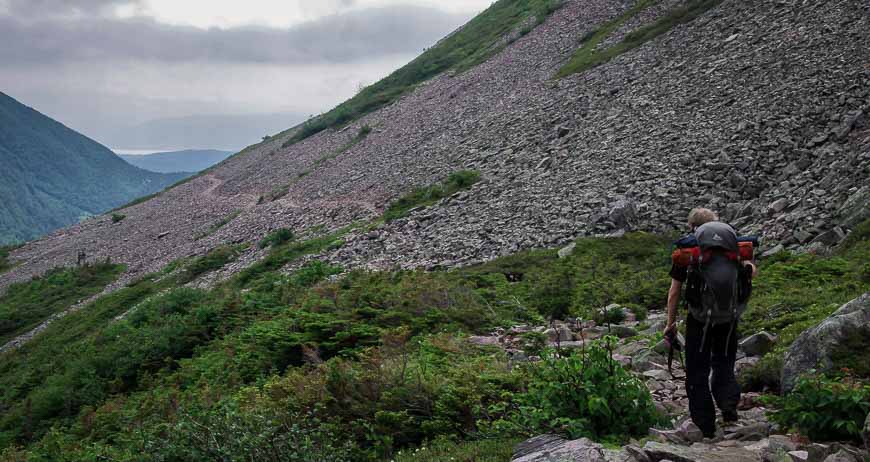
Most people approach the mountain from a steep, scree filled gully that starts roughly 4 km from the parking lot.
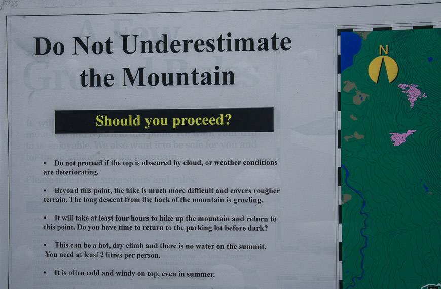
Before you start the slog up the gully, ask yourself if you can get off the mountain before dark as you’ve got another 8 km of tough hiking ahead of you. Many people turn around at the viewing platform here.
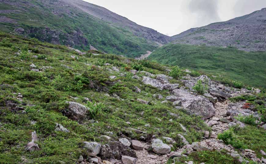
Are you up for a 500 metre climb to the summit of Gros Morne Mountain?
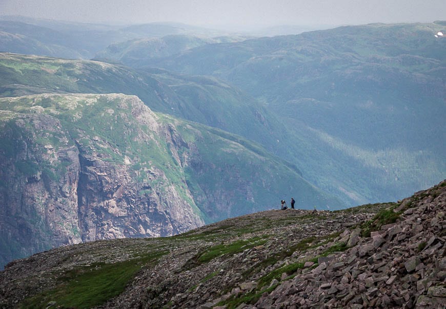
If you decide to keep going, then you’ve got 500 m (1,640 feet) of climbing to get to the summit at 806 metres above sea level. Once above treeline, you’re in a fragile Arctic-alpine environment. Tread lightly.
It’s not recommended that you descend the gully, mostly because you don’t want to send rocks flying onto hikers below you. Since we were the last people off the mountain, I actually wish we’d returned via the gully as it would have saved us a lot of time.
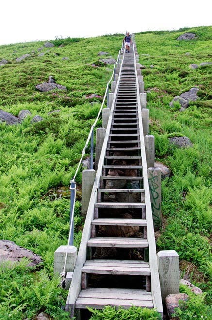
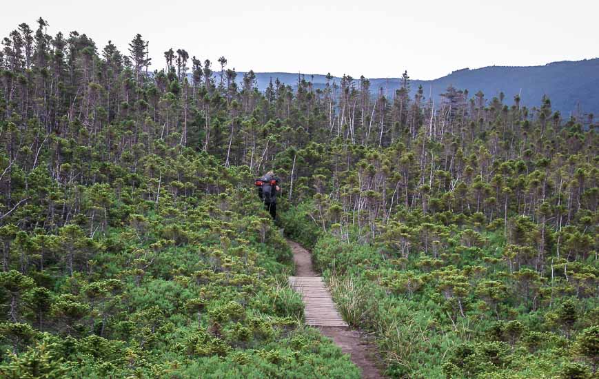
Our route up to the summit was very pretty in short order. From the Ferry Gulch intersection, it’s a combination of hiking on good trails, boardwalk and stairs.
All of it is well-marked, a welcome change after the Long Range Traverse – which offers hikers a navigational challenge with no marked trail.
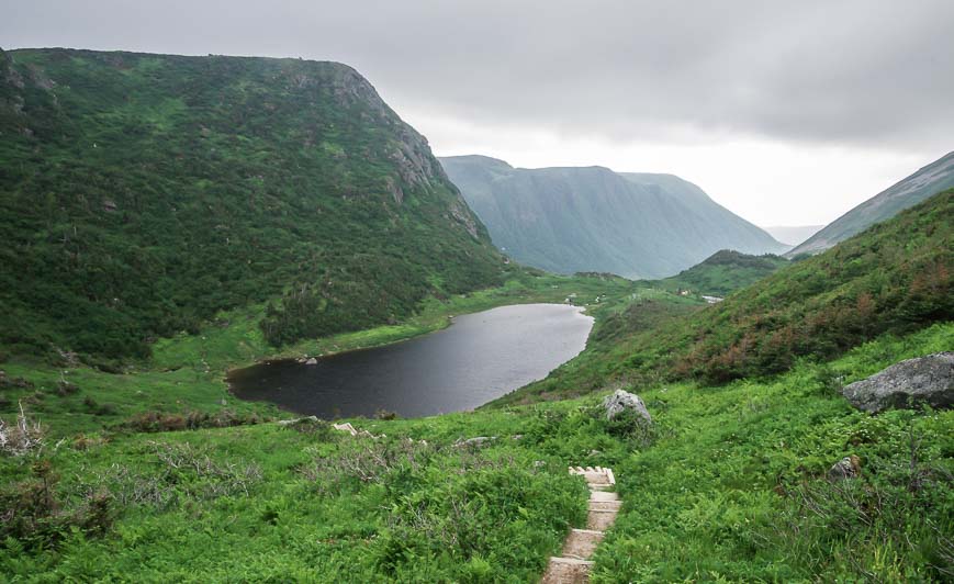
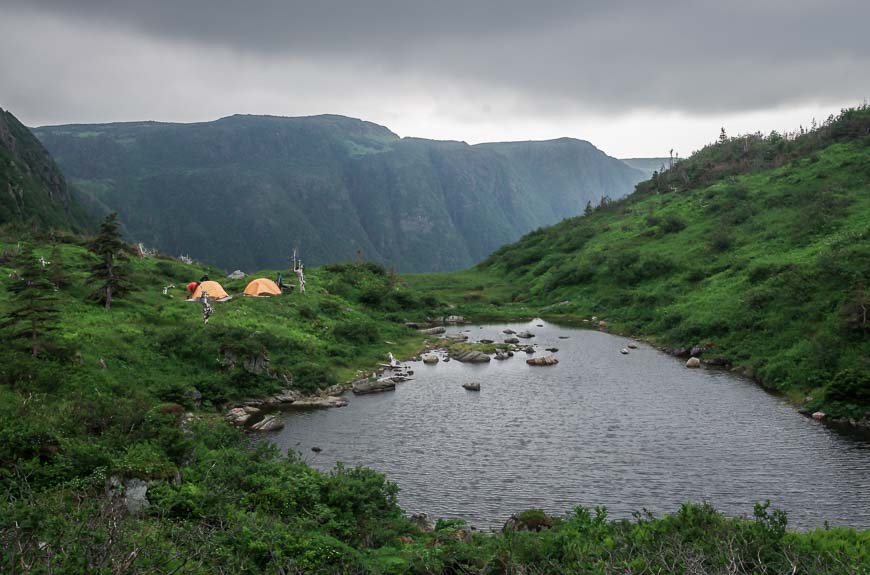
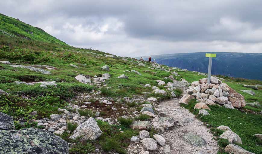
You’ll find fluorescent markers above treeline, put in place to help you get safely off the mountain if the fog suddenly rolls in.
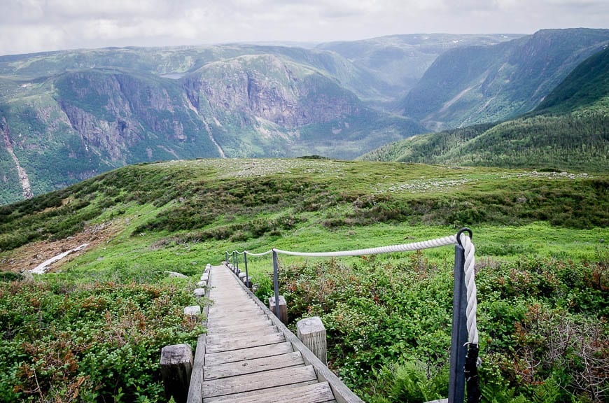
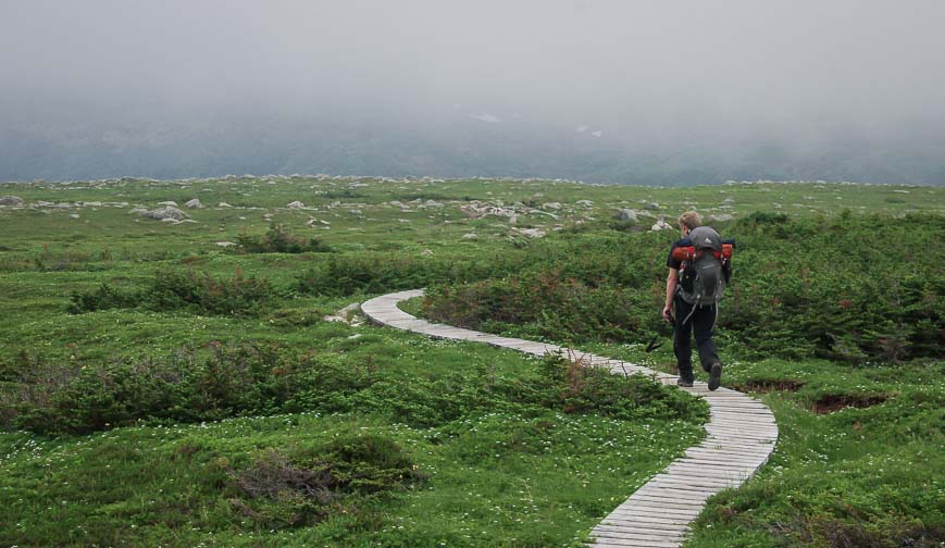
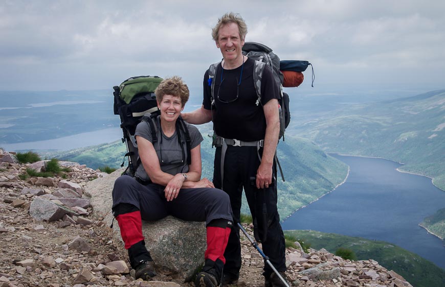
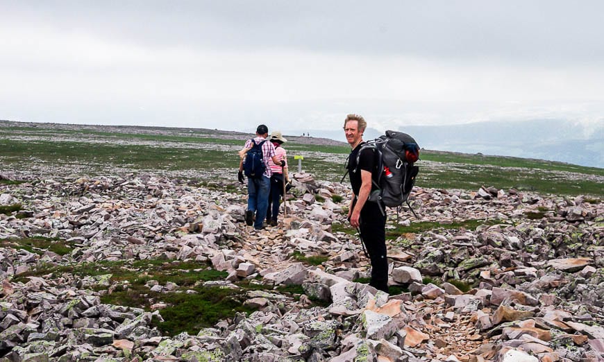
The hike from Ferry Gulch campsite to the Gros Morne Mountain trailhead
Our hike to the summit was an out and back hike rather than the loop most people do. The return to the Ferry Gulch Campsite was quite enjoyable.
But, I was surprised at how tough going the hiking was all the way from Ferry Gulch to the viewing platform by the gully.
It’s rocky with uneven footing and took far longer than I anticipated. I figured it was a two hour hike – tops – especially as it’s only 7 km. But, it took us at least three hours.
Be warned that this part of the hike can get very hot in summer. Be sure to fill your water bottles at Ferry Gulch before starting off. Treat your water with purification tablets or take a small water filter.
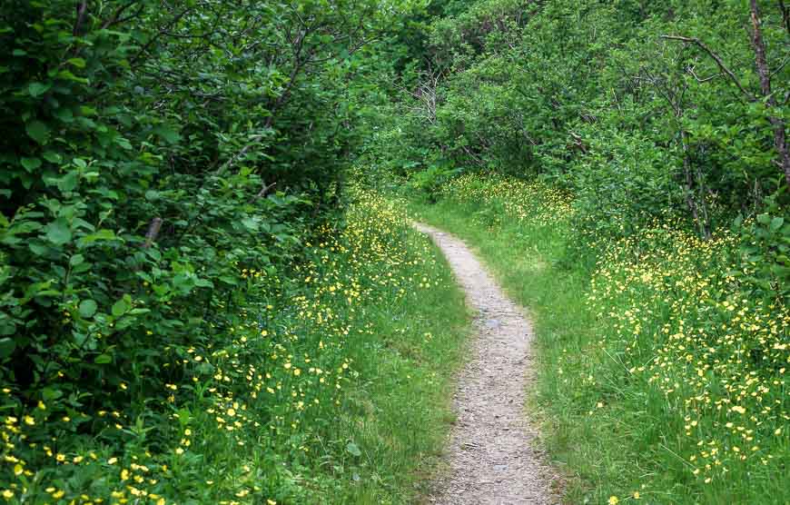
Go prepared on the difficult Gros Morne Mountain hike
All told, allow six to eight hours to do the full loop hike.
Go prepared with a windbreaker and rain gear for the summit and extra food and a minimum of 2 – 3 litres of water per person. Proper footwear that is well broken in is a must as well. I wouldn’t recommend this hike for kids unless they were used to doing long, hard hikes.
A pair of collapsible hiking poles will help those with bad knees.
If you’re prone to blisters, I highly recommend taking Compeed. It speeds up their healing too.
Location map of the Gros Morne Mountain hike
Where to stay in nearby Rocky Harbour
The town of Rocky Harbour is just a 7-minute drive from the trailhead so it’s ideal as a base.
Rated exceptional is the Wildflowers Country Inn. Some rooms come with a kitchenette.
The Fish Sheds, rated superb, is a holiday home with a patio and sea view, along with a fully equipped kitchen.
The Ocean View Hotel is rated very good, boasting ocean views and a restaurant and a bar.
Further reading related to hiking in Newfoundland
- Things to do in Twillingate, Newfoundland
- 2024 East Coast Trail Hiking Guide
- Hiking the Skerwink Trail near Trinity, Newfoundland
- Hiking the Alexander Murray Trail in King’s Point
- Things to Do in Trinity, Newfoundland
Click on the photo to bookmark to your Pinterest boards.
